 |
|
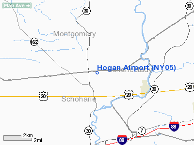
Location & QuickFacts
| FAA Information Effective: | 2008-09-25 |
| Airport Identifier: | NY05 |
| Airport Status: | Operational |
| Longitude/Latitude: | 074-19-32.4730W/42-46-53.2680N
-74.325687/42.781463 (Estimated) |
| Elevation: | 1260 ft / 384.05 m (Estimated) |
| Land: | 250 acres |
| From nearest city: | 4 nautical miles W of Esperance, NY |
| Location: | Schoharie County, NY |
| Magnetic Variation: | 14W (1985) |
Owner & Manager
| Ownership: | Privately owned |
| Owner: | Tim Hogan |
| Address: | 395 Adams St
Bedford Hills, NY 10507 |
| Phone number: | 914-666-3400 |
| Manager: | Tim Hogan |
| Address: | 300 Brandon Rd
Esperance, NY 12066 |
| Phone number: | 518-875-6033 |
Airport Operations and Facilities
| Airport Use: | Private |
| Wind indicator: | Yes |
| Segmented Circle: | No |
| Control Tower: | No |
| Lighting Schedule: | PHONE REQ
FOR LIRL RY 12/30 CALL - 518-875-6033. |
| Landing fee charge: | No |
| Sectional chart: | New York |
| Region: | AEA - Eastern |
| Boundary ARTCC: | ZBW - Boston |
| Tie-in FSS: | BTV - Burlington |
| FSS on Airport: | No |
| FSS Toll Free: | 1-800-WX-BRIEF |
Runway Information
Runway 12L/30R
| Dimension: | 3000 x 27 ft / 914.4 x 8.2 m
W END 400' TURF; E END 600' TURF. |
| Surface: | ASPH-TURF, Good Condition |
| Edge Lights: | Low |
| |
Runway 12L |
Runway 30R |
| Traffic Pattern: | Left | Left |
|
Runway 12R/30L
| Dimension: | 3000 x 130 ft / 914.4 x 39.6 m
W END 400' TURF; E END 600' TURF. |
| Surface: | TURF, |
| |
Runway 12R |
Runway 30L |
| Traffic Pattern: | Left | Left |
|
Radio Navigation Aids
| ID |
Type |
Name |
Ch |
Freq |
Var |
Dist |
| JJH | NDB | Johnstown | | 523.00 | 14W | 13.1 nm |
| HEU | NDB | Hunter | | 356.00 | 14W | 17.8 nm |
| PFH | NDB | Philmont | | 272.00 | 13W | 41.5 nm |
| CJY | NDB | Clay | | 275.00 | 12W | 44.4 nm |
| RKA | VOR/DME | Rockdale | 073X | 112.60 | 11W | 44.6 nm |
| CAM | VOR/DME | Cambridge | 097X | 115.00 | 14W | 45.1 nm |
| DNY | VOR/DME | De Lancey | 058X | 112.10 | 11W | 45.8 nm |
| ALB | VORTAC | Albany | 100X | 115.30 | 13W | 23.1 nm |
| UCA | VORTAC | Utica | 049X | 111.20 | 12W | 39.8 nm |
| GFL | VORTAC | Glens Falls | 039X | 110.20 | 14W | 46.0 nm |
| ALB | VOT | Albany County | | 108.20 | | 22.3 nm |
Remarks
Images and information placed above are from
http://www.airport-data.com/airport/NY05/
We thank them for the data!
| General Info
|
| Country |
United States
|
| State |
NEW YORK
|
| FAA ID |
NY05
|
| Latitude |
42-46-53.268N
|
| Longitude |
074-19-32.473W
|
| Elevation |
1260 feet
|
| Near City |
ESPERANCE
|
We don't guarantee the information is fresh and accurate. The data may
be wrong or outdated.
For more up-to-date information please refer to other sources.
|
|


