|
|
 |
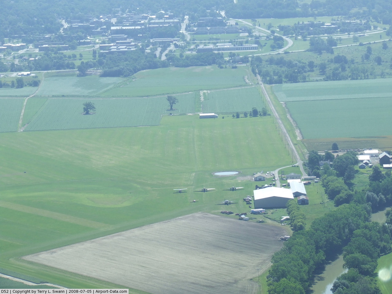
(Click on the photo to enlarge) |
 |
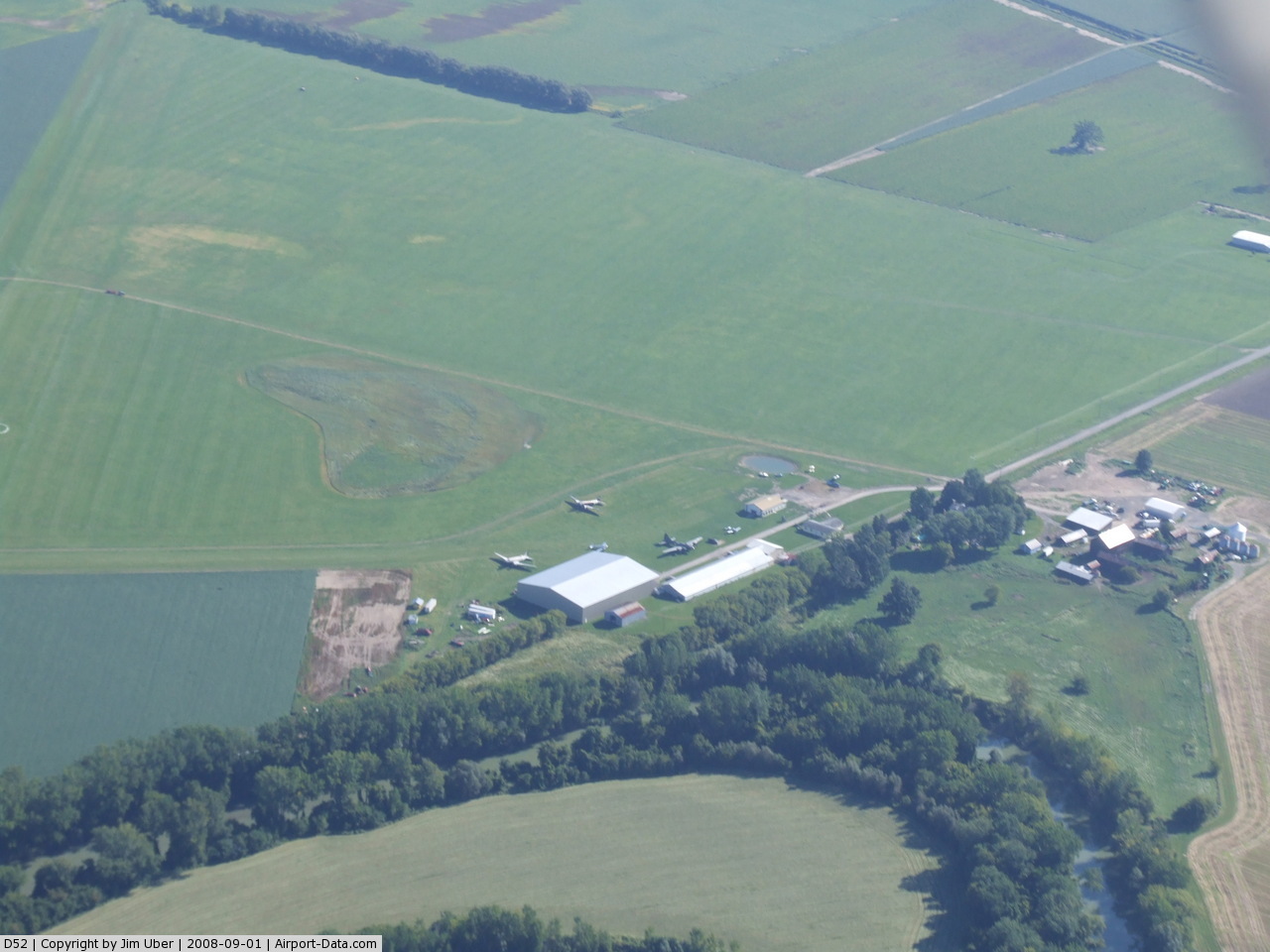
(Click on the photo to enlarge) |
 |
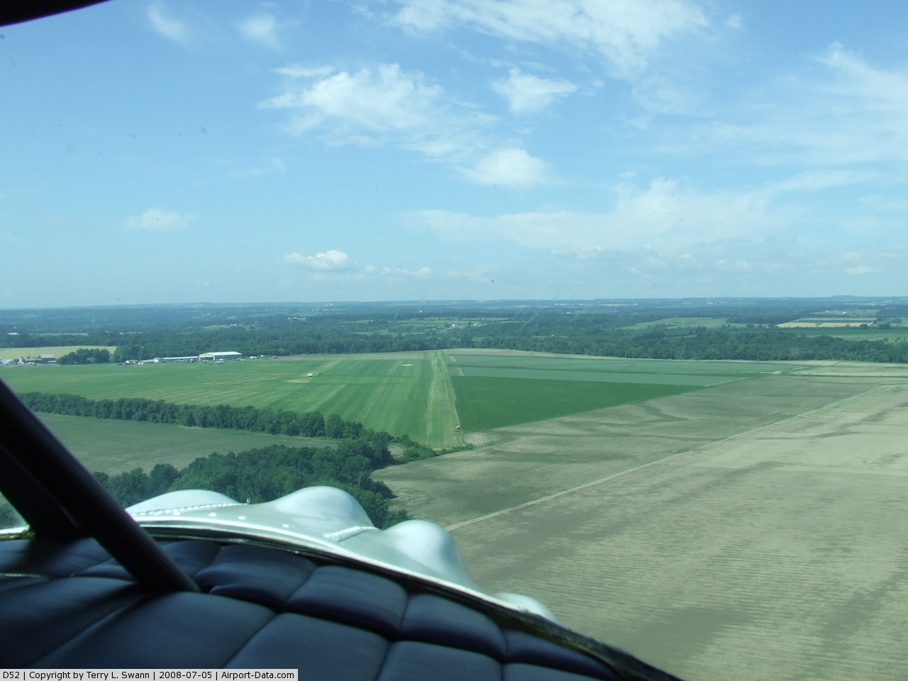
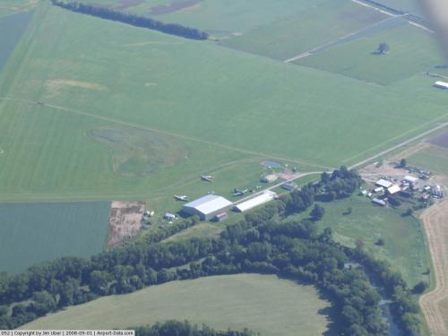
(Click on the photo to enlarge) |
Location & QuickFacts
| FAA Information Effective: | 2008-09-25 |
| Airport Identifier: | D52 |
| Airport Status: | Operational |
| Longitude/Latitude: | 077-50-33.0120W/42-47-55.2250N
-77.842503/42.798674 (Estimated) |
| Elevation: | 560 ft / 170.69 m (Estimated) |
| Land: | 10 acres |
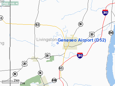
| From nearest city: | 1 nautical miles W of Geneseo, NY |
| Location: | Livingston County, NY |
| Magnetic Variation: | 11W (1985) |
Owner & Manager
| Ownership: | Privately owned |
| Owner: | W.austin Wadsworth |
| Address: | Box 5
Geneseo, NY 14454 |
| Phone number: | 585-243-1413 |
| Manager: | National Warplane Museum |
| Address: | Historic Aircraft Group, P.o. Box 185
Geneseo, NY 14454 |
| Phone number: | 585-243-2100 |
Airport Operations and Facilities
| Airport Use: | Open to public |
| Wind indicator: | Yes |
| Segmented Circle: | Yes |
| Control Tower: | No |
| Landing fee charge: | No |
| Sectional chart: | Detroit |
| Region: | AEA - Eastern |
| Traffic Pattern Alt: | 1400 ft |
| Boundary ARTCC: | ZOB - Cleveland |
| Tie-in FSS: | BUF - Buffalo |
| FSS on Airport: | No |
| FSS Toll Free: | 1-800-WX-BRIEF |
| NOTAMs Facility: | BUF (NOTAM-d service avaliable) |
Airport Communications
Airport Services
| Airframe Repair: | NONE |
| Power Plant Repair: | NONE |
| Bottled Oxygen: | NONE |
| Bulk Oxygen: | NONE |
Runway Information
Runway 05/23
| Dimension: | 4695 x 90 ft / 1431.0 x 27.4 m
RY 23 END IS NOT CLEARLY MKD. |
| Surface: | TURF, Good Condition |
| |
Runway 05 |
Runway 23 |
| Traffic Pattern: | Left | Right |
| Markings: | Nonstandard, Fair Condition
RY 5 END MKD WITH WHITE PAINT AT EDGES AND ORANGE CONES | Nonstandard, Fair Condition
RY ENDS MARKED WITH WHITE PAINT AT EDGES. |
| Obstruction: | 30 ft tree, 120.0 ft from runway, 125 ft right of centerline, 4:1 slope to clear | 16 ft trees, 12.0 ft from runway, 80 ft right of centerline |
|
Radio Navigation Aids
| ID |
Type |
Name |
Ch |
Freq |
Var |
Dist |
| AVN | NDB | Avon | | 344.00 | 09W | 13.1 nm |
| PYA | NDB | Penn Yan | | 260.00 | 12W | 35.9 nm |
| LYS | NDB | Olean | | 360.00 | 09W | 37.9 nm |
| EL | NDB | Halos | | 269.00 | 09W | 41.5 nm |
| GEE | VOR/DME | Geneseo | 019X | 108.20 | 09W | 5.3 nm |
| BUF | VOR/DME | Buffalo | 111X | 116.40 | 08W | 36.3 nm |
| ROC | VORTAC | Rochester | 037X | 110.00 | 09W | 20.7 nm |
| ELZ | VORTAC | Wellsville | 051X | 111.40 | 09W | 43.2 nm |
| BUF | VOT | Buffalo | | 109.00 | | 40.2 nm |
Remarks
- FREQUENT AG-PLANES IN VICINITY.
- WATCH FOR GEESE AND SEA GULLS.
- TWO LGTD ANTENNAS LEFT OF RWY 23 IN THE VILLAGE OF GENESE.
- TURF SOFT & WET FOR FIRST 1000 FT FROM THR OF RY 23 DURING OCT-MAY.
- 40 FT POWERLINE IN APCH TO RY 05.
- LARGE ACFT BE ALERT FOR RUTS IN AER 23.
- ATTENDANCE REQUESTS FOR OTHER THAN SCHEDULED TIMES CALL 585-243-2100.
- VFR OPNS ONLY.
Images and information placed above are from
http://www.airport-data.com/airport/D52/
We thank them for the data!
| General Info
|
| Country |
United States
|
| State |
NEW YORK
|
| FAA ID |
D52
|
| Latitude |
42-47-55.225N
|
| Longitude |
077-50-33.012W
|
| Elevation |
560 feet
|
| Near City |
GENESEO
|
We don't guarantee the information is fresh and accurate. The data may
be wrong or outdated.
For more up-to-date information please refer to other sources.
|
|