 |
|
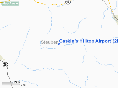
Location & QuickFacts
| FAA Information Effective: | 2008-09-25 |
| Airport Identifier: | 2NK1 |
| Airport Status: | Operational |
| Longitude/Latitude: | 077-27-55.9450W/42-17-46.2570N
-77.465540/42.296183 (Estimated) |
| Elevation: | 1730 ft / 527.30 m (Estimated) |
| Land: | 0 acres |
| From nearest city: | 7 nautical miles NE of Canisteo, NY |
| Location: | Steuben County, NY |
| Magnetic Variation: | 11W (1985) |
Owner & Manager
| Ownership: | Privately owned |
| Owner: | Philip Gaskin |
| Address: | Rd 2
Canisteo, NY 14823 |
| Phone number: | 607-698-4876 |
| Manager: | Philip Gaskin |
| Address: | Rd 2
Canisteo, NY 14823 |
| Phone number: | 607-698-4876 |
Airport Operations and Facilities
| Airport Use: | Private |
| Wind indicator: | Yes |
| Segmented Circle: | No |
| Control Tower: | No |
| Sectional chart: | Detroit |
| Region: | AEA - Eastern |
| Boundary ARTCC: | ZOB - Cleveland |
| Tie-in FSS: | BUF - Buffalo |
| FSS Toll Free: | 1-800-WX-BRIEF |
Airport Services
Runway Information
Runway 07/25
| Dimension: | 1850 x 90 ft / 563.9 x 27.4 m |
| Surface: | TURF, |
| |
Runway 07 |
Runway 25 |
| Traffic Pattern: | Left | Left |
|
Radio Navigation Aids
| ID |
Type |
Name |
Ch |
Freq |
Var |
Dist |
| EL | NDB | Halos | | 269.00 | 09W | 22.9 nm |
| PYA | NDB | Penn Yan | | 260.00 | 12W | 27.7 nm |
| ALP | NDB | Alpine | | 245.00 | 12W | 31.4 nm |
| LYS | NDB | Olean | | 360.00 | 09W | 38.7 nm |
| AVN | NDB | Avon | | 344.00 | 09W | 45.0 nm |
| ULW | VOR/DME | Elmira | 033Y | 109.65 | 12W | 23.1 nm |
| GEE | VOR/DME | Geneseo | 019X | 108.20 | 09W | 34.4 nm |
| SFK | VOR/DME | Stonyfork | 023X | 108.60 | 08W | 36.2 nm |
| ITH | VOR/DME | Ithaca | 055X | 111.80 | 10W | 46.2 nm |
| ELZ | VORTAC | Wellsville | 051X | 111.40 | 09W | 26.8 nm |
Remarks
- PRVDD ARPT IS VFR DALGT USE ONLY; CTC THE ELMIRA ATCT TO COORDINATE THE NEED FOR NON-STANDARD TFC PATTERNS.
Images and information placed above are from
http://www.airport-data.com/airport/2NK1/
We thank them for the data!
| General Info
|
| Country |
United States
|
| State |
NEW YORK
|
| FAA ID |
2NK1
|
| Latitude |
42-17-46.257N
|
| Longitude |
077-27-55.945W
|
| Elevation |
1730 feet
|
| Near City |
CANISTEO
|
We don't guarantee the information is fresh and accurate. The data may
be wrong or outdated.
For more up-to-date information please refer to other sources.
|
|


