 |
|
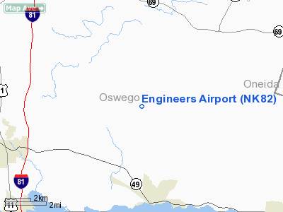
Location & QuickFacts
| FAA Information Effective: | 2008-09-25 |
| Airport Identifier: | NK82 |
| Airport Status: | Operational |
| Longitude/Latitude: | 076-00-53.7100W/43-18-57.2490N
-76.014919/43.315902 (Estimated) |
| Elevation: | 480 ft / 146.30 m (Estimated) |
| Land: | 0 acres |
| From nearest city: | 3 nautical miles NE of Constantia, NY |
| Location: | Oswego County, NY |
| Magnetic Variation: | 12W (1985) |
Owner & Manager
| Ownership: | Privately owned |
| Owner: | Engineers Joint Trng Fund |
| Address: | 814 Route 23
Constantia, NY 13044 |
| Phone number: | 315-623-9070 |
| Manager: | Jerome Sinard |
| Address: | 814 Route 23
Constantia, NY 13044 |
| Phone number: | 315-623-9070 |
Airport Operations and Facilities
| Airport Use: | Private |
| Wind indicator: | Yes |
| Segmented Circle: | No |
| Control Tower: | No |
| Landing fee charge: | No |
| Sectional chart: | New York |
| Region: | AEA - Eastern |
| Boundary ARTCC: | ZBW - Boston |
| Tie-in FSS: | BUF - Buffalo |
| FSS on Airport: | No |
| FSS Toll Free: | 1-800-WX-BRIEF |
Runway Information
Runway 14/32
| Dimension: | 2500 x 50 ft / 762.0 x 15.2 m |
| Surface: | TURF, |
| |
Runway 14 |
Runway 32 |
| Traffic Pattern: | Left | Left |
| Obstruction: | 30 ft pline, 100.0 ft from runway | |
|
Radio Navigation Aids
| ID |
Type |
Name |
Ch |
Freq |
Var |
Dist |
| BK | NDB | Plein | | 329.00 | 12W | 24.0 nm |
| CJY | NDB | Clay | | 275.00 | 12W | 36.5 nm |
| GTB | NDB | Drum | | 257.00 | 13W | 46.8 nm |
| GSS | TACAN | Griffiss | 057X | | 12W | 26.9 nm |
| SYR | VORTAC | Syracuse | 117X | 117.00 | 11W | 12.5 nm |
| GGT | VORTAC | Georgetown | 125X | 117.80 | 11W | 32.7 nm |
| ART | VORTAC | Watertown | 035X | 109.80 | 12W | 38.3 nm |
| UCA | VORTAC | Utica | 049X | 111.20 | 12W | 41.1 nm |
Remarks
- PROVIDED TRANSMISSION LINES ARE MARKED.
Images and information placed above are from
http://www.airport-data.com/airport/NK82/
We thank them for the data!
| General Info
|
| Country |
United States
|
| State |
NEW YORK
|
| FAA ID |
NK82
|
| Latitude |
43-18-57.249N
|
| Longitude |
076-00-53.710W
|
| Elevation |
480 feet
|
| Near City |
CONSTANTIA
|
We don't guarantee the information is fresh and accurate. The data may
be wrong or outdated.
For more up-to-date information please refer to other sources.
|
|


