 |
|
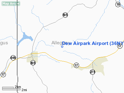
Location & QuickFacts
| FAA Information Effective: | 2008-09-25 |
| Airport Identifier: | 36NY |
| Airport Status: | Operational |
| Longitude/Latitude: | 078-12-42.0450W/42-14-09.2420N
-78.211679/42.235901 (Estimated) |
| Elevation: | 2100 ft / 640.08 m (Estimated) |
| Land: | 0 acres |
| From nearest city: | 3 nautical miles NE of Cuba, NY |
| Location: | Allegany County, NY |
| Magnetic Variation: | 10W (1985) |
Owner & Manager
| Ownership: | Privately owned |
| Owner: | Dean E. Wildrick |
| Address: | 8354 Jackson Hill Rd.
Cuba, NY 14727 |
| Phone number: | 716-968-1873 |
| Address: |
|
Airport Operations and Facilities
| Airport Use: | Private |
| Wind indicator: | No |
| Segmented Circle: | No |
| Control Tower: | No |
| Landing fee charge: | No |
| Sectional chart: | Detroit |
| Region: | AEA - Eastern |
| Boundary ARTCC: | ZOB - Cleveland |
| Tie-in FSS: | AOO - Altoona |
| FSS on Airport: | No |
| FSS Toll Free: | 1-800-WX-BRIEF |
Airport Services
| Airframe Repair: | NONE |
| Power Plant Repair: | NONE |
Runway Information
Runway 18/36
| Dimension: | 1900 x 50 ft / 579.1 x 15.2 m |
| Surface: | TURF, |
| |
Runway 18 |
Runway 36 |
| Traffic Pattern: | Left | Left |
|
Radio Navigation Aids
| ID |
Type |
Name |
Ch |
Freq |
Var |
Dist |
| LYS | NDB | Olean | | 360.00 | 09W | 6.2 nm |
| EL | NDB | Halos | | 269.00 | 09W | 15.2 nm |
| BFD | VOR/DME | Bradford | 113X | 116.60 | 07W | 32.6 nm |
| JHW | VOR/DME | Jamestown | 094X | 114.70 | 07W | 40.6 nm |
| GEE | VOR/DME | Geneseo | 019X | 108.20 | 09W | 41.8 nm |
| BUF | VOR/DME | Buffalo | 111X | 116.40 | 08W | 45.9 nm |
| SFK | VOR/DME | Stonyfork | 023X | 108.60 | 08W | 48.0 nm |
| ELZ | VORTAC | Wellsville | 051X | 111.40 | 09W | 12.9 nm |
| SLT | VORTAC | Slate Run | 086X | 113.90 | 08W | 44.8 nm |
| DKK | VORTAC | Dunkirk | 109X | 116.20 | 07W | 49.6 nm |
| BUF | VOT | Buffalo | | 109.00 | | 48.2 nm |
Remarks
- TREES EAST.
- VFR USE ONLY.
Images and information placed above are from
http://www.airport-data.com/airport/36NY/
We thank them for the data!
| General Info
|
| Country |
United States
|
| State |
NEW YORK
|
| FAA ID |
36NY
|
| Latitude |
42-14-09.242N
|
| Longitude |
078-12-42.045W
|
| Elevation |
2100 feet
|
| Near City |
CUBA
|
We don't guarantee the information is fresh and accurate. The data may
be wrong or outdated.
For more up-to-date information please refer to other sources.
|
|


