 |
|
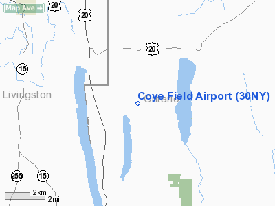
Location & QuickFacts
| FAA Information Effective: | 2008-09-25 |
| Airport Identifier: | 30NY |
| Airport Status: | Operational |
| Longitude/Latitude: | 077-33-28.9770W/42-45-00.2320N
-77.558049/42.750064 (Estimated) |
| Elevation: | 1610 ft / 490.73 m (Estimated) |
| Land: | 0 acres |
| From nearest city: | 1 nautical miles NW of Canadice, NY |
| Location: | Ontario County, NY |
| Magnetic Variation: | 11W (1985) |
Owner & Manager
| Ownership: | Privately owned |
| Owner: | Wendell F. Coye |
| Address: | 5632 Middle Road
Hemlock, NY 14466 |
| Phone number: | 716-367-2573 |
| Manager: | Wendell F. Coye |
| Address: | 5632 Middle Road
Hemlock, NY 14466 |
| Phone number: | 716-367-2573 |
Airport Operations and Facilities
| Airport Use: | Private |
| Wind indicator: | Yes |
| Segmented Circle: | No |
| Control Tower: | No |
| Lighting Schedule: | PHONE REQ
|
| Landing fee charge: | No |
| Sectional chart: | Detroit |
| Region: | AEA - Eastern |
| Boundary ARTCC: | ZOB - Cleveland |
| Tie-in FSS: | BUF - Buffalo |
| FSS on Airport: | No |
| FSS Toll Free: | 1-800-WX-BRIEF |
Runway Information
Runway 01/19
| Dimension: | 2175 x 130 ft / 662.9 x 39.6 m |
| Surface: | TURF, |
| Edge Lights: | Low |
| |
Runway 01 |
Runway 19 |
| Traffic Pattern: | Left | Left |
|
Radio Navigation Aids
| ID |
Type |
Name |
Ch |
Freq |
Var |
Dist |
| AVN | NDB | Avon | | 344.00 | 09W | 18.2 nm |
| PYA | NDB | Penn Yan | | 260.00 | 12W | 23.1 nm |
| EL | NDB | Halos | | 269.00 | 09W | 41.6 nm |
| LYS | NDB | Olean | | 360.00 | 09W | 44.4 nm |
| ALP | NDB | Alpine | | 245.00 | 12W | 46.7 nm |
| GEE | VOR/DME | Geneseo | 019X | 108.20 | 09W | 9.2 nm |
| ULW | VOR/DME | Elmira | 033Y | 109.65 | 12W | 46.0 nm |
| BUF | VOR/DME | Buffalo | 111X | 116.40 | 08W | 49.2 nm |
| ROC | VORTAC | Rochester | 037X | 110.00 | 09W | 22.9 nm |
| ELZ | VORTAC | Wellsville | 051X | 111.40 | 09W | 44.3 nm |
Remarks
Images and information placed above are from
http://www.airport-data.com/airport/30NY/
We thank them for the data!
| General Info
|
| Country |
United States
|
| State |
NEW YORK
|
| FAA ID |
30NY
|
| Latitude |
42-45-00.232N
|
| Longitude |
077-33-28.977W
|
| Elevation |
1610 feet
|
| Near City |
CANADICE
|
We don't guarantee the information is fresh and accurate. The data may
be wrong or outdated.
For more up-to-date information please refer to other sources.
|
|


