|
|
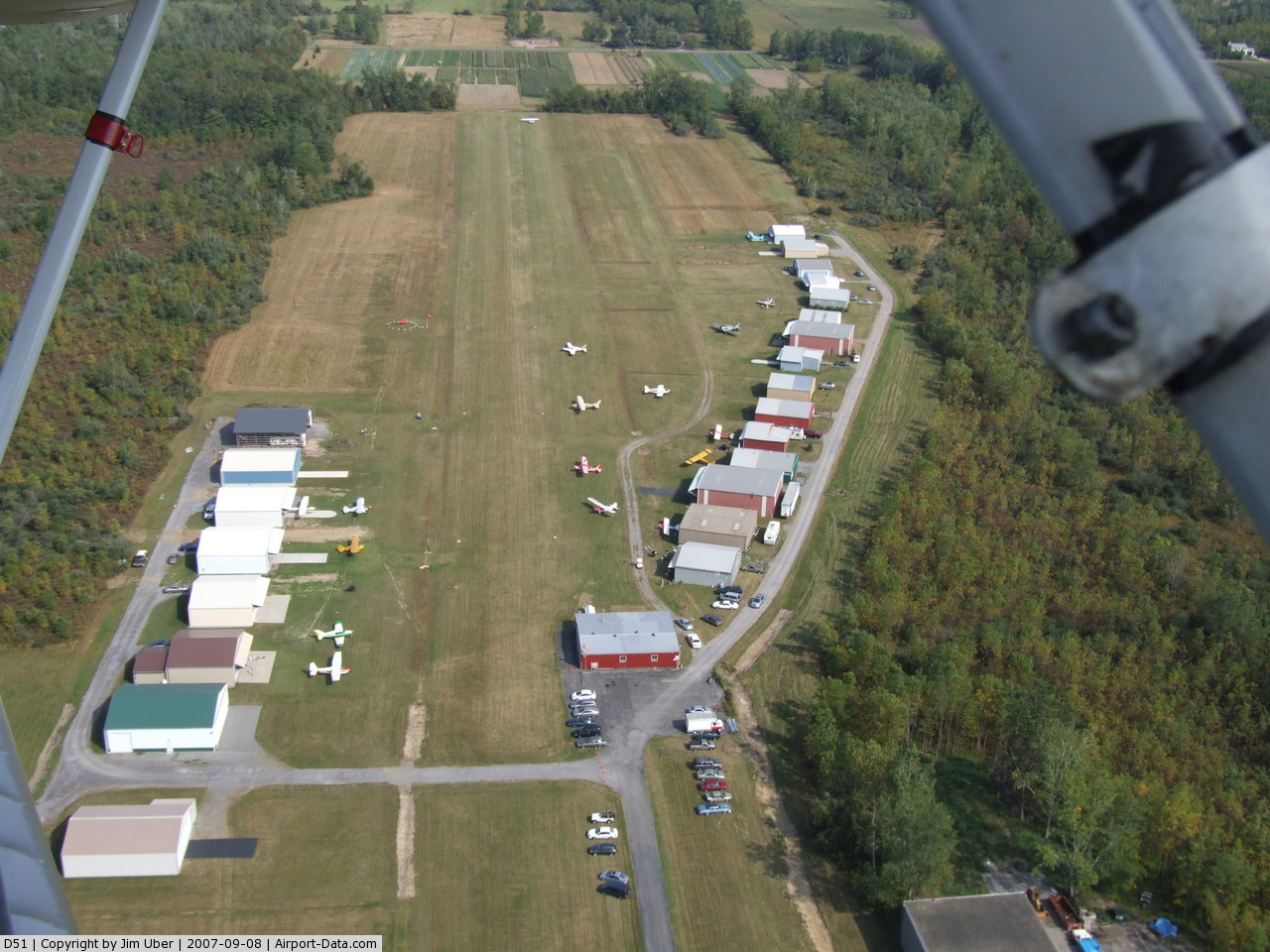
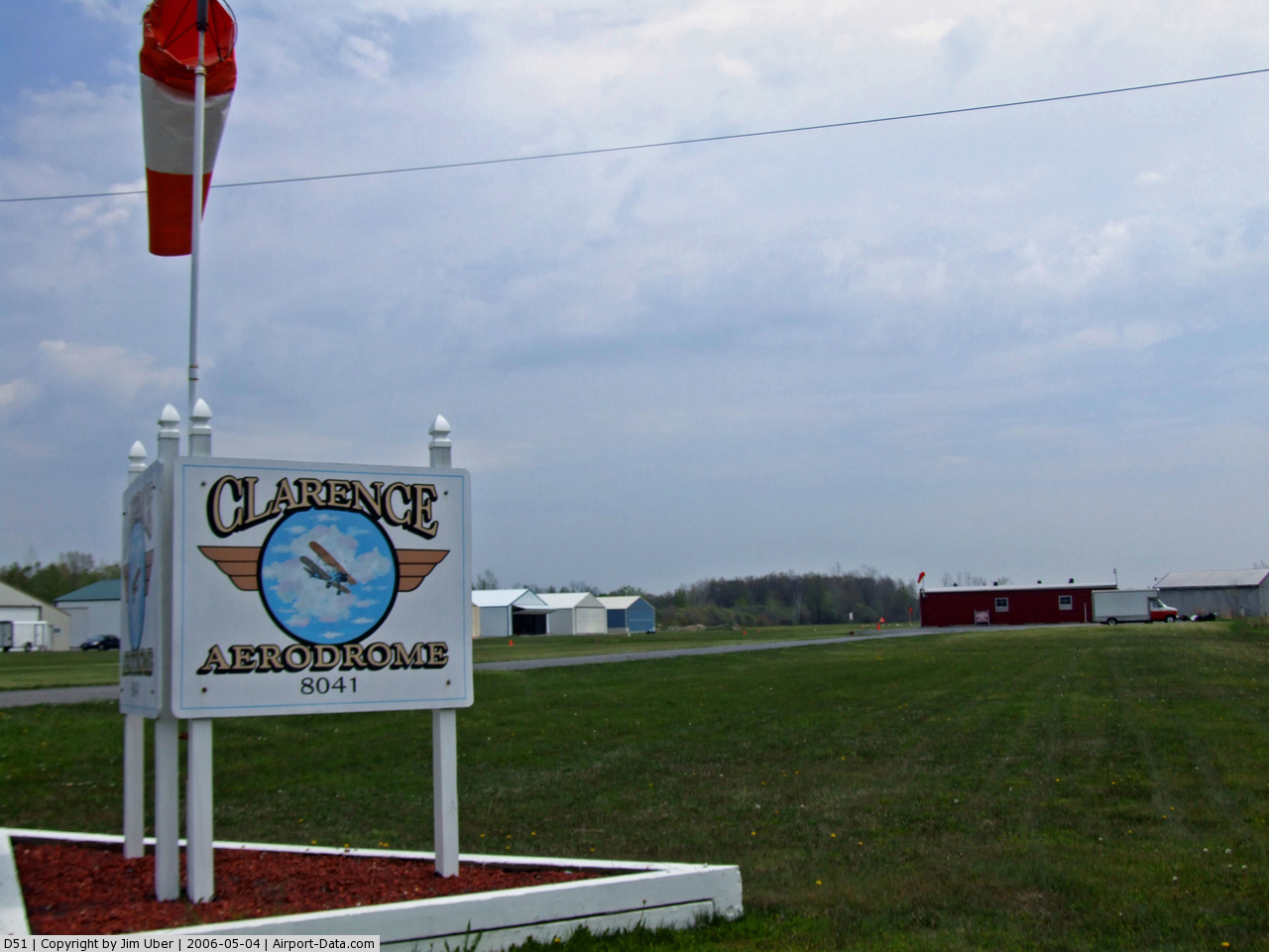
Clarence Aerodrome Airport |
 |
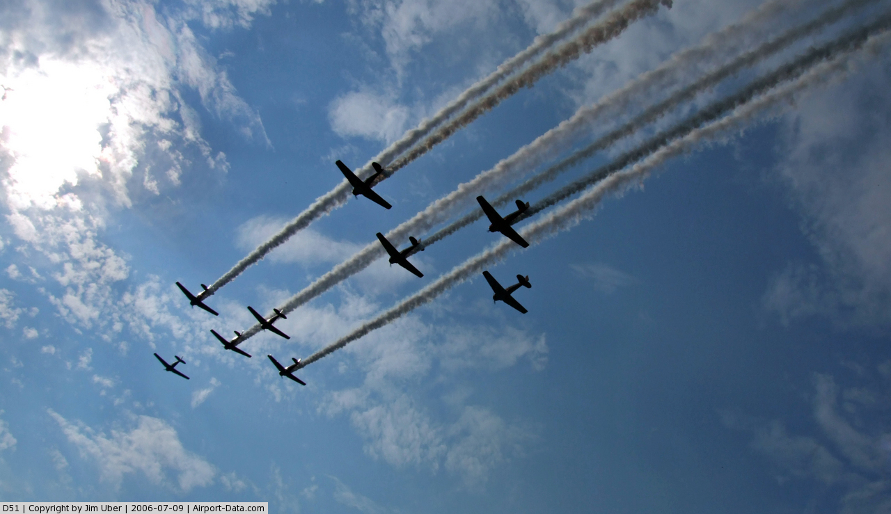
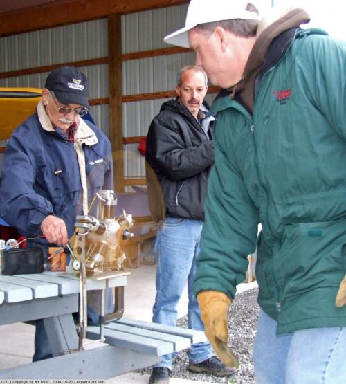
(Click on the photo to enlarge) |
 |
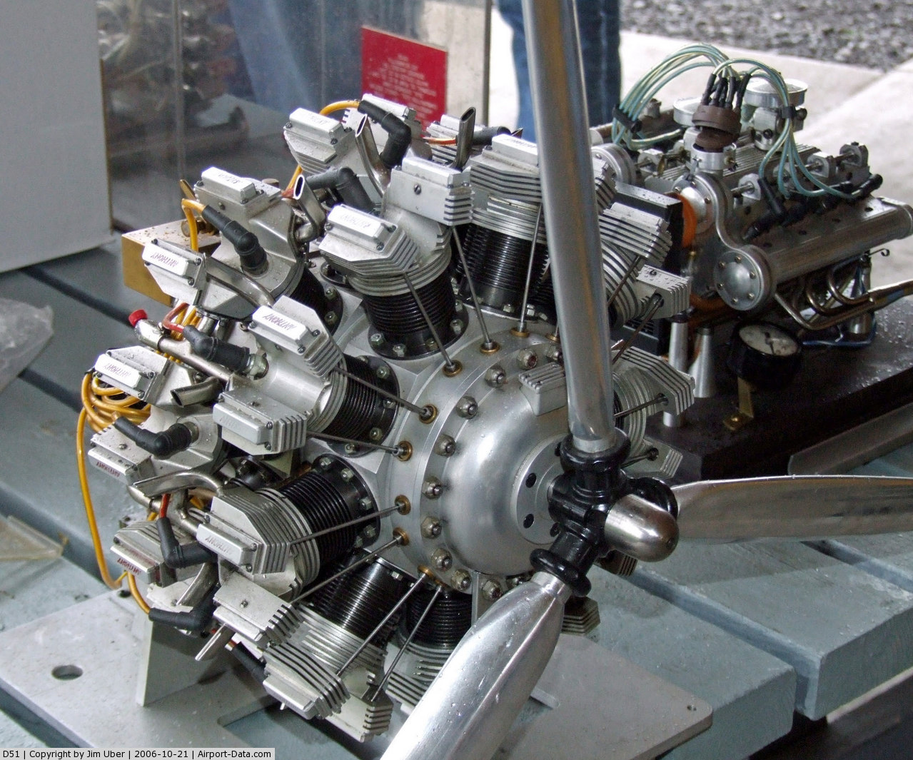
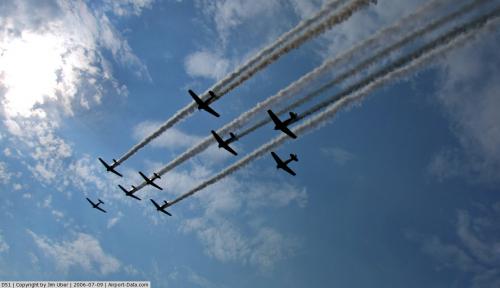
(Click on the photo to enlarge) |
 |
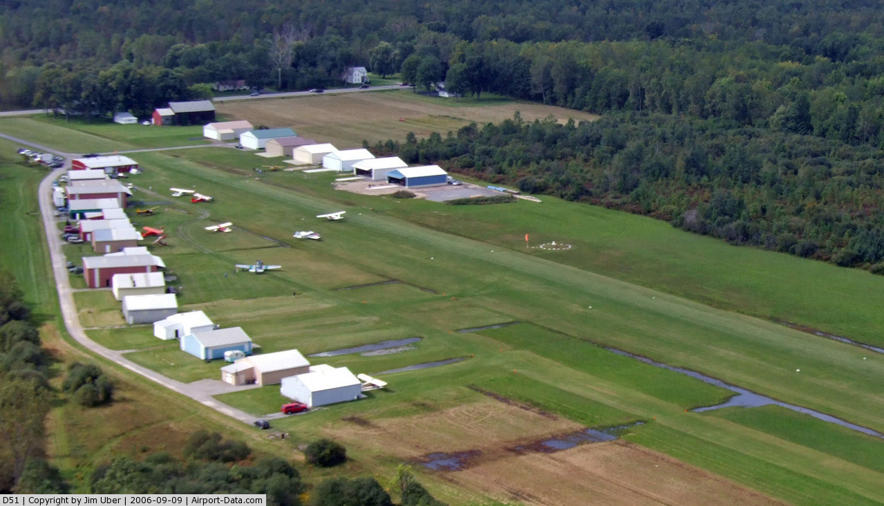
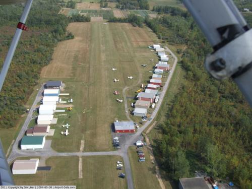
(Click on the photo to enlarge) |
 |
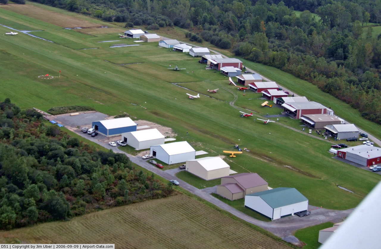
(Click on the photo to enlarge) |
 |
(Click on the photo to enlarge) |
 |
(Click on the photo to enlarge) |
 |
(Click on the photo to enlarge) |
Location & QuickFacts
| FAA Information Effective: | 2008-09-25 |
| Airport Identifier: | D51 |
| Airport Status: | Operational |
| Longitude/Latitude: | 078-40-59.1090W/43-04-00.2080N
-78.683086/43.066724 (Estimated) |
| Elevation: | 589 ft / 179.53 m (Estimated) |
| Land: | 35 acres |
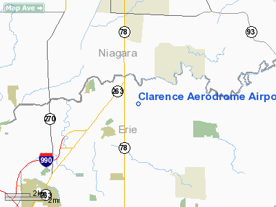
| From nearest city: | 5 nautical miles NE of Buffalo, NY |
| Location: | Erie County, NY |
| Magnetic Variation: | 10W (1985) |
Owner & Manager
| Ownership: | Privately owned |
| Owner: | Clarence Flying Club, Inc. |
| Address: | P O Box 461
East Amherst, NY 14051 |
| Manager: | Bob Berry |
| Address: | 20 Roxley Place
Tonawanda, NY 14150 |
| Phone number: | 716-836-9736 |
Airport Operations and Facilities
| Airport Use: | Open to public |
| Wind indicator: | Yes |
| Segmented Circle: | No |
| Control Tower: | No |
| Lighting Schedule: | RDO-CTL
ACTVT LIRL RY 10/28 - 122.7. |
| Landing fee charge: | No |
| Sectional chart: | Detroit |
| Region: | AEA - Eastern |
| Boundary ARTCC: | ZOB - Cleveland |
| Tie-in FSS: | BUF - Buffalo |
| FSS on Airport: | No |
| FSS Toll Free: | 1-800-WX-BRIEF |
| NOTAMs Facility: | BUF (NOTAM-d service avaliable) |
Airport Communications
| CTAF: | 122.700 |
| Unicom: | 122.700 |
Runway Information
Runway 10/28
| Dimension: | 2500 x 67 ft / 762.0 x 20.4 m |
| Surface: | TURF, |
| Edge Lights: | Low |
| |
Runway 10 |
Runway 28 |
| Traffic Pattern: | Left | Left |
| Obstruction: | 28 ft pole, 22.0 ft from runway, 55 ft right of centerline | 47 ft trees, 33.0 ft from runway, 93 ft right of centerline |
|
Radio Navigation Aids
| ID |
Type |
Name |
Ch |
Freq |
Var |
Dist |
| SN | NDB | St Catherines | | 408.00 | 01E | 25.5 nm |
| AVN | NDB | Avon | | 344.00 | 09W | 40.3 nm |
| TZ | NDB | Gibraltar Point | | 257.00 | 10W | 45.0 nm |
| LYS | NDB | Olean | | 360.00 | 09W | 49.5 nm |
| IAG | TACAN | Niagara Falls | 047X | | 10W | 12.5 nm |
| BUF | VOR/DME | Buffalo | 111X | 116.40 | 08W | 8.4 nm |
| GEE | VOR/DME | Geneseo | 019X | 108.20 | 09W | 44.1 nm |
| DKK | VORTAC | Dunkirk | 109X | 116.20 | 07W | 43.4 nm |
| ROC | VORTAC | Rochester | 037X | 110.00 | 09W | 44.4 nm |
| BUF | VOT | Buffalo | | 109.00 | | 8.0 nm |
Remarks
- ULTRALGTS ON & INVOF ARPT.
Images and information placed above are from
http://www.airport-data.com/airport/D51/
We thank them for the data!
| General Info
|
| Country |
United States
|
| State |
NEW YORK
|
| FAA ID |
D51
|
| Latitude |
43-04-00.208N
|
| Longitude |
078-40-59.109W
|
| Elevation |
589 feet
|
| Near City |
BUFFALO
|
We don't guarantee the information is fresh and accurate. The data may
be wrong or outdated.
For more up-to-date information please refer to other sources.
|
|