|
|
Buffalo-lancaster Rgnl Airport |
| Buffalo-Lancaster Regional Airport |
| IATA: none – ICAO: KBQR – FAA LID: BQR |
| Summary |
| Airport type |
Public |
| Owner |
Lancaster Airport Inc. |
| Serves |
Lancaster, New York |
| Elevation AMSL |
750 ft / 229 m |
| Coordinates |
42°55′20″N 078°36′44″W / 42.92222°N 78.61222°W / 42.92222; -78.61222 |
| Website |
BuffaloLancaster.com |
| Runways |
| Direction |
Length |
Surface |
| ft |
m |
| 8/26 |
3,200 |
975 |
Asphalt |
| Statistics (2006) |
| Aircraft operations |
30,000 |
| Based aircraft |
37 |
| Source: Federal Aviation Administration |
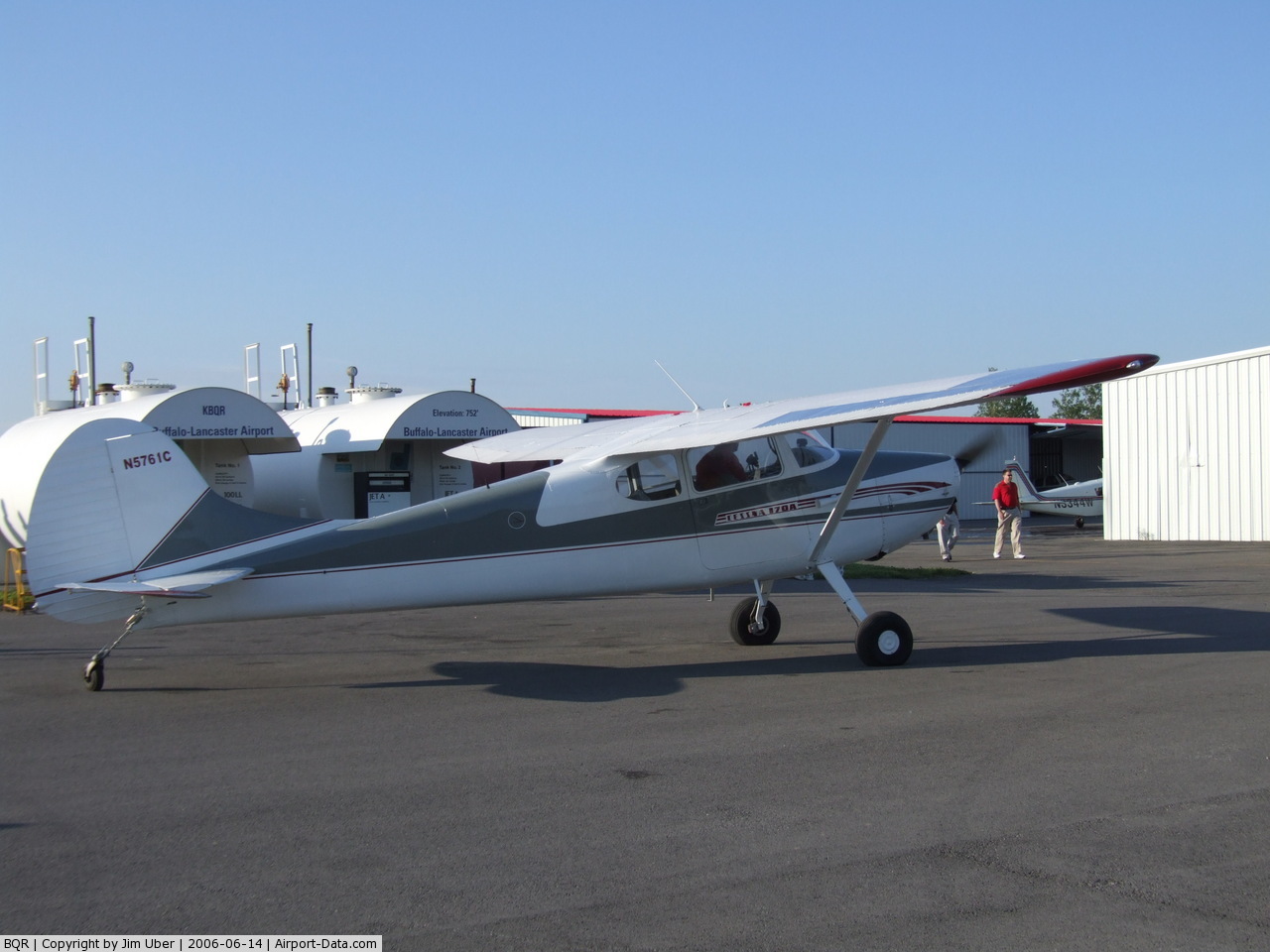
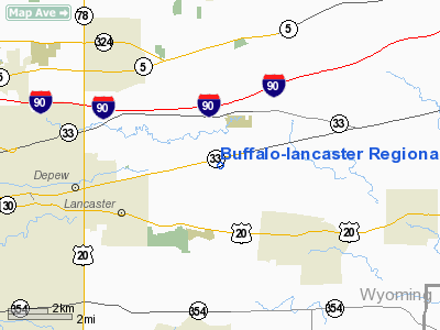
Buffalo-Lancaster Regional Airport (ICAO: KBQR, FAA LID: BQR, formerly D77) is a public use airport located three nautical miles (6 km) northeast of the central business district of Lancaster, in Erie County, New York, United States. It is privately owned by Lancaster Airport Inc.
Although most U.S. airports use the same three-letter location identifier for the FAA and IATA, this airport is assigned BQR by the FAA but has no designation from the IATA.
The runway at Buffalo-Lancaster Airport is currently being extended from its current length to 5,500 feet planned to be completed in 2010, which may allow it to accommodate larger airplanes and private jets. The runway is also an emergency landing site for Buffalo-Niagara International Airport.
Facilities and aircraft
Buffalo-Lancaster Regional Airport covers an area of 100 acres (40 ha) at an elevation of 750 feet (229 m) above mean sea level. It has one asphalt paved runway designated 8/26 which measures 3,200 by 75 feet (975 x 23 m).
For the 12-month period ending July 17, 2006, the airport had 30,000 general aviation aircraft operations, an average of 82 per day. At that time there were 37 aircraft based at this airport: 95% single-engine and 5% multi-engine.
The above content comes from Wikipedia and is published under free licenses – click here to read more.
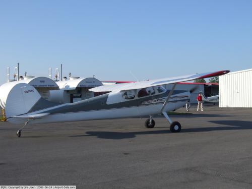 |
(Click on the photo to enlarge) |
Location & QuickFacts
| FAA Information Effective: | 2008-09-25 |
| Airport Identifier: | BQR |
| Airport Status: | Operational |
| Longitude/Latitude: | 078-36-44.0960W/42-55-20.2120N
-78.612249/42.922281 (Estimated) |
| Elevation: | 750 ft / 228.60 m (Estimated) |
| Land: | 100 acres |
| From nearest city: | 3 nautical miles NE of Lancaster, NY |
| Location: | Erie County, NY |
| Magnetic Variation: | 10W (1985) |
Owner & Manager
| Ownership: | Privately owned |
| Owner: | Lancaster Apt Inc
THOMAS GELER, PRESIDENT, LANCASTER ARPT INC. |
| Address: | 4343 Walden Ave
Lancaster, NY 14086 |
| Phone number: | 585-591-0366 |
| Manager: | Eric Wobschall |
| Address: | 2120 Maple Road
Williamsville, NY 14221-1922 |
| Phone number: | 716-208-5460 |
Airport Operations and Facilities
| Airport Use: | Open to public |
| Wind indicator: | Yes
WIND "T" |
| Segmented Circle: | No |
| Control Tower: | No |
| Lighting Schedule: | DUSK DAWN
ACTIVATE MIRLS RY 8/26; REILS RY 8/26 & PAPI RY 8/26 - CTAF. |
| Beacon Color: | Clear-Green (lighted land airport) |
| Landing fee charge: | No |
| Sectional chart: | Detroit |
| Region: | AEA - Eastern |
| Boundary ARTCC: | ZOB - Cleveland |
| Tie-in FSS: | BUF - Buffalo |
| FSS on Airport: | No |
| FSS Toll Free: | 1-800-WX-BRIEF |
| NOTAMs Facility: | BUF (NOTAM-d service avaliable) |
| Federal Agreements: | N |
Airport Communications
| CTAF: | 123.050 |
| Unicom: | 123.050
AUTOMATED UNICOM, 617-262-3825. |
Airport Services
| Fuel available: | 100LL |
| Airframe Repair: | MINOR |
| Power Plant Repair: | MAJOR |
| Bottled Oxygen: | NONE |
| Bulk Oxygen: | NONE |
Runway Information
Runway 08/26
| Dimension: | 3200 x 75 ft / 975.4 x 22.9 m |
| Surface: | ASPH, Good Condition |
| Edge Lights: | Medium
RWY LGTS OTS INDEFLY |
| |
Runway 08 |
Runway 26 |
| Traffic Pattern: | Left | Left |
| Markings: | Non-precision instrument, Good Condition
MKGS FADED. | Non-precision instrument, Good Condition |
| Displaced threshold: | 915.00 ft | 0.00 ft |
| VASI: | 2-light PAPI on right side | 2-light PAPI on left side |
| Runway End Identifier: | Yes | Yes |
| Obstruction: | 7 ft pole, 221.0 ft from runway, 50 ft left of centerline, 3:1 slope to clear
RY 08, 0:1 APPROACH SLOPE TO DISPLACED THRESHOLD. | 30 ft tree, 600.0 ft from runway, 135 ft left of centerline, 13:1 slope to clear |
|
Radio Navigation Aids
| ID |
Type |
Name |
Ch |
Freq |
Var |
Dist |
| SN | NDB | St Catherines | | 408.00 | 01E | 31.3 nm |
| AVN | NDB | Avon | | 344.00 | 09W | 37.5 nm |
| LYS | NDB | Olean | | 360.00 | 09W | 40.3 nm |
| IAG | TACAN | Niagara Falls | 047X | | 10W | 19.1 nm |
| BUF | VOR/DME | Buffalo | 111X | 116.40 | 08W | 1.6 nm |
| GEE | VOR/DME | Geneseo | 019X | 108.20 | 09W | 39.1 nm |
| JHW | VOR/DME | Jamestown | 094X | 114.70 | 07W | 49.5 nm |
| DKK | VORTAC | Dunkirk | 109X | 116.20 | 07W | 39.1 nm |
| ROC | VORTAC | Rochester | 037X | 110.00 | 09W | 42.9 nm |
| BUF | VOT | Buffalo | | 109.00 | | 5.5 nm |
Remarks
- +28 FT RAILROAD 215 FT S OF RY CNTRLN PARALLEL TO RY 08/26.
- RWY 08, +55-72' TREES, 280'-370' FROM THLD, 24'-160' LEFT OF RWY CTRLN
- VFR OPERNS ONLY.
Images and information placed above are from
http://www.airport-data.com/airport/BQR/
We thank them for the data!
| General Info
|
| Country |
United States
|
| State |
NEW YORK
|
| FAA ID |
BQR
|
| Latitude |
42.922281
42° 55' 20.21" N
|
| Longitude |
-78.612251
078° 36' 44.10" W
|
| Elevation |
750 feet
229 meters
|
| Magnetic Variation |
011° W (01/06)
|
| Beacon |
Yes
|
| Operating Agency |
MUNICIPAL
|
| Daylight Saving Time |
Second Sunday in March at 0200 to first Sunday in November at 0200 local time (Exception Arizona and that portion of Indiana in the Eastern Time Zone)
|
We don't guarantee the information is fresh and accurate. The data may
be wrong or outdated.
For more up-to-date information please refer to other sources.
|
|