|
|
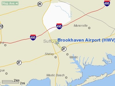
| Brookhaven Calabro Airport |
| IATA: WSH – ICAO: KHWV – FAA LID: HWV |
| Summary |
| Airport type |
Public |
| Owner |
Town of Brookhaven |
| Location |
Shirley, New York |
| Elevation AMSL |
81 ft / 25 m |
| Coordinates |
40°49′19″N 072°52′01″W / 40.82194°N 72.86694°W / 40.82194; -72.86694 |
| Runways |
| Direction |
Length |
Surface |
| ft |
m |
| 6/24 |
4,200 |
1,280 |
Asphalt |
| 15/33 |
4,224 |
1,287 |
Asphalt/Concrete |
| Statistics (2005) |
| Aircraft operations |
135,100 |
| Based aircraft |
217 |
| Source: Federal Aviation Administration |
Brookhaven Calabro Airport (IATA: WSH, ICAO: KHWV, FAA LID: HWV) is a public airport located one mile (1.6 km) north of the central business district of Shirley, in Suffolk County, New York, United States. This airport is publicly owned by the Town of Brookhaven.
Although most U.S. airports use the same three-letter location identifier for the FAA and IATA, Brookhaven Airport is assigned HWV by the FAA and WSH by the IATA. The airport's ICAO identifier is KHWV. History
Brookhaven Airport was constructed during World War II to provide logistical support for U.S. Army Air Corps operations. Known as Mastic Flight Strip, title of the airport was transferred to New York State after the war. In 1961 the airport was acquired by the Town of Brookhaven. It was later renamed in honor of Dr. Frank Calabro, an important figure in the airport's development.
Facilities and aircraft
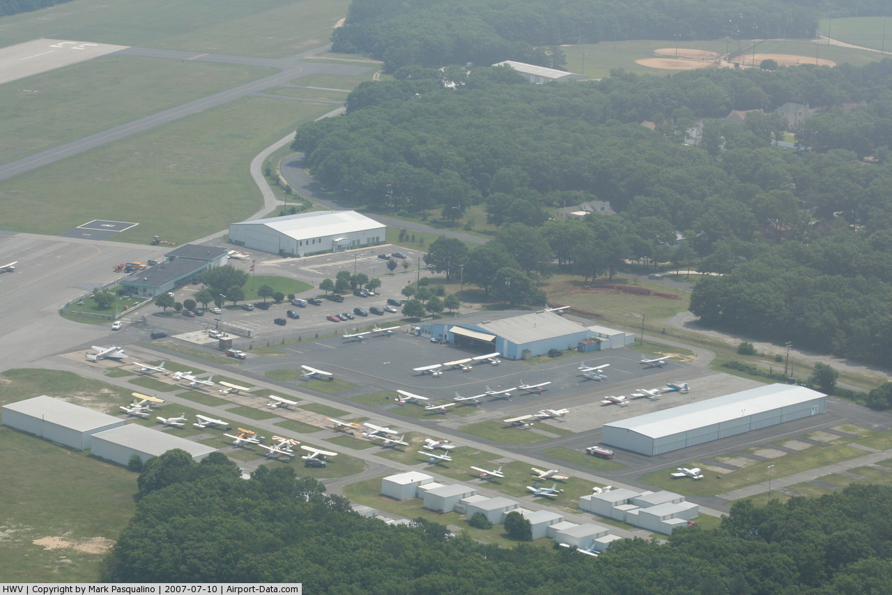
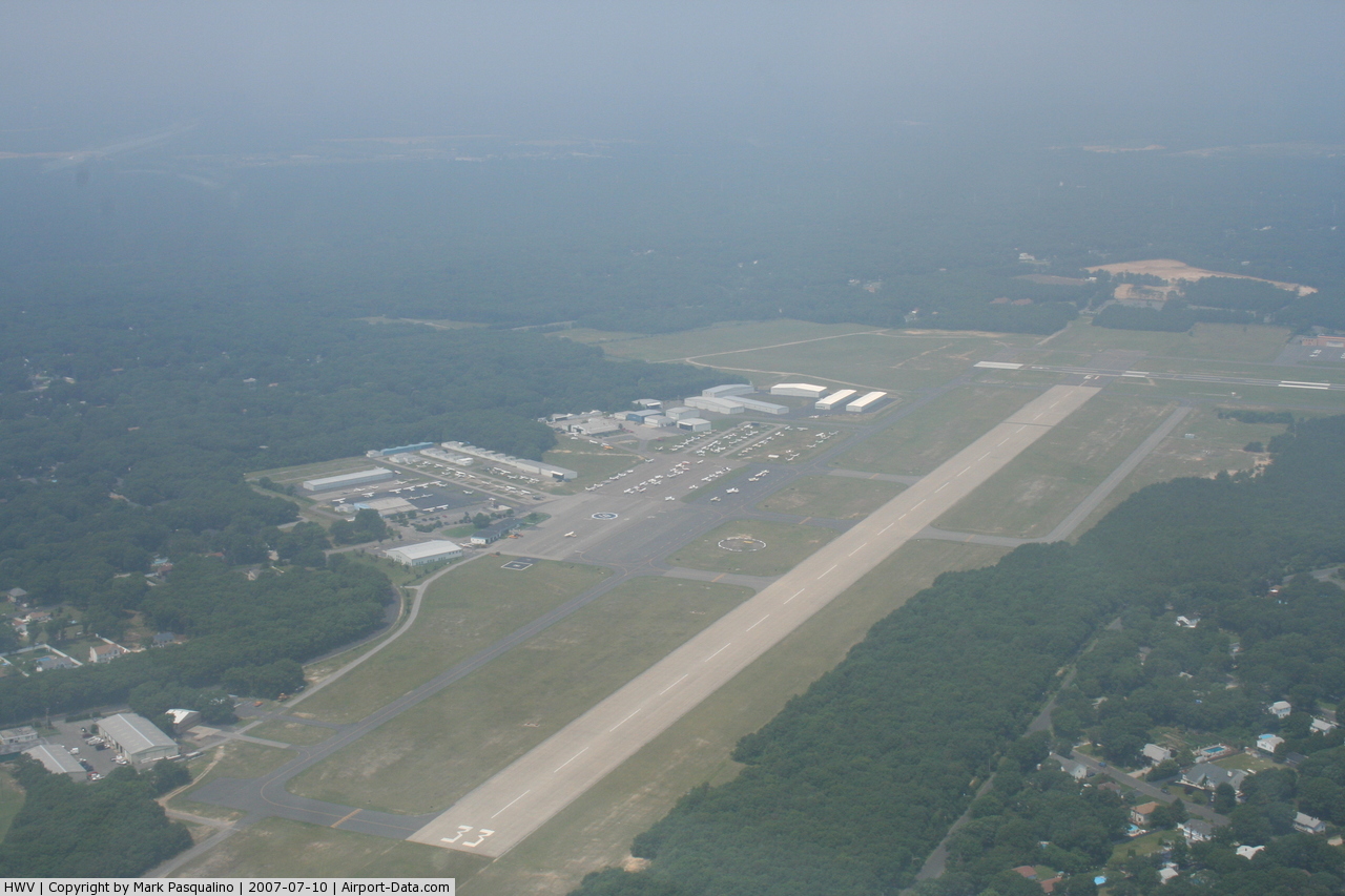
Brookhaven Airport covers an area of 795 acres (3.2 km²) which contains two runways:
- Runway 6/24: 4,200 x 100 ft. (1,280 x 30 m), Surface: Asphalt
- Runway 15/33: 4,224 x 150 ft. (1,287 x 46 m), Surface: Asphalt/Concrete
For 12-month period ending March 25, 2005, the airport had 135,100 aircraft operations, an average of 370 per day: 99% general aviation (135,000) and <1% military (100). There are 217 aircraft based at this airport: 92% single engine (200), 5% multi engine (10) and 3% gliders (6).
The above content comes from Wikipedia and is published under free licenses – click here to read more.
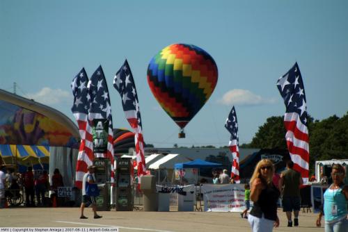 |
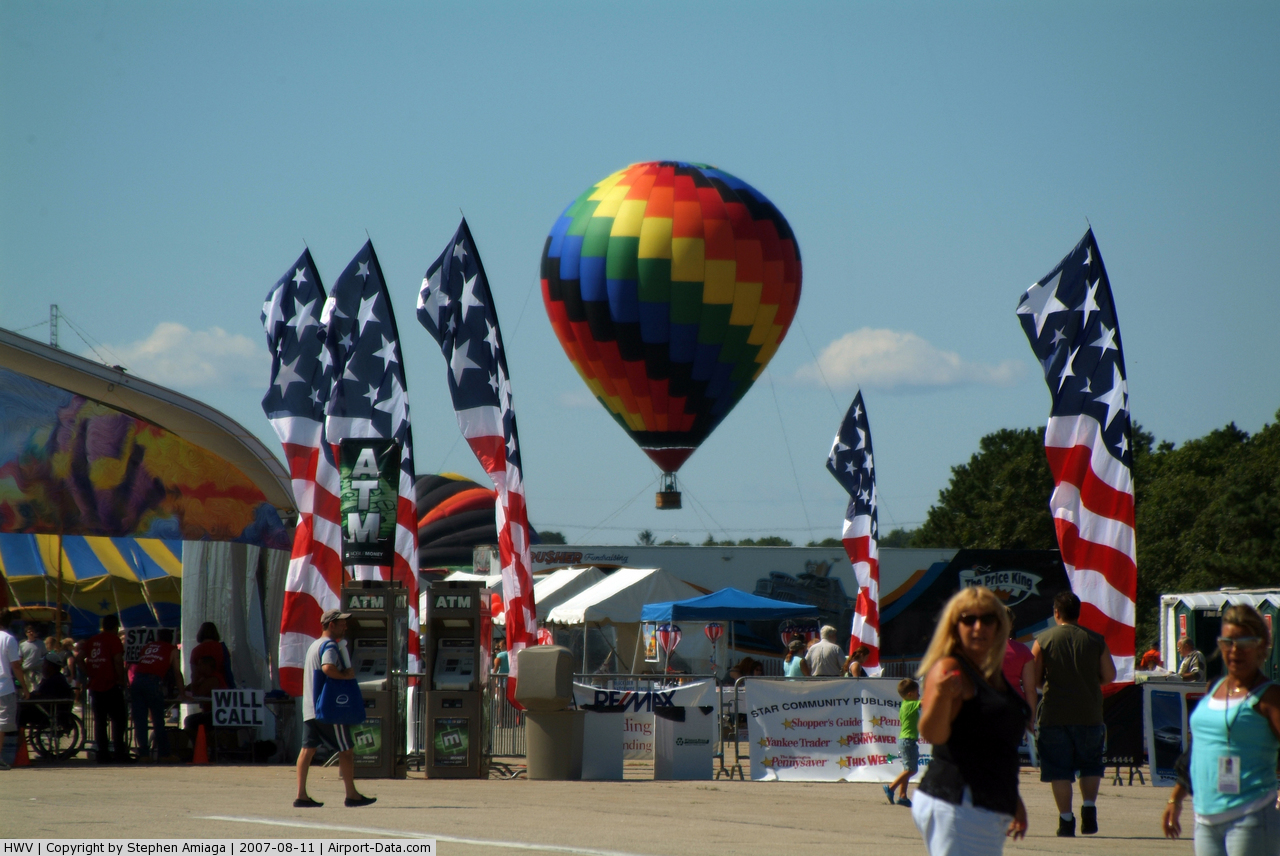
(Click on the photo to enlarge) |
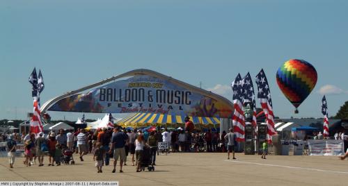 |
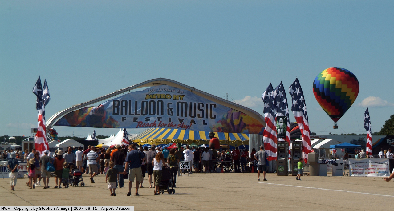
(Click on the photo to enlarge) |
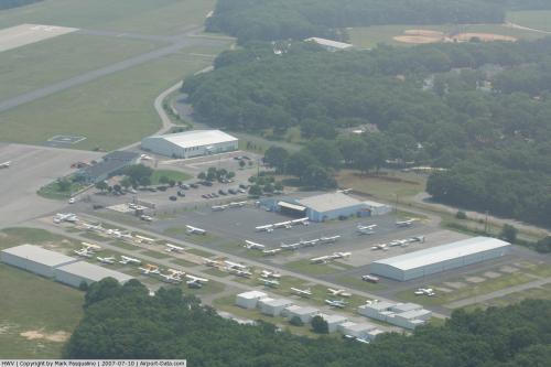 |
(Click on the photo to enlarge) |
 |
(Click on the photo to enlarge) |
Location & QuickFacts
| FAA Information Effective: | 2008-09-25 |
| Airport Identifier: | HWV |
| Airport Status: | Operational |
| Longitude/Latitude: | 072-52-00.9000W/40-49-19.0000N
-72.866917/40.821944 (Estimated) |
| Elevation: | 81 ft / 24.69 m (Estimated) |
| Land: | 795 acres |
| From nearest city: | 1 nautical miles N of Shirley, NY |
| Location: | Suffolk County, NY |
| Magnetic Variation: | 14W (2000) |
Owner & Manager
| Ownership: | Publicly owned |
| Owner: | Town Of Brookhaven |
| Address: | 135 Dawn Drive
Shirley, NY 11967 |
| Phone number: | 631-281-5100 |
| Manager: | Jim Falbo |
| Address: | 135 Dawn Drive
Shirley, NY 11967 |
| Phone number: | 631-281-5100 |
Airport Operations and Facilities
| Airport Use: | Open to public |
| Wind indicator: | Yes |
| Segmented Circle: | Yes |
| Control Tower: | No |
| Lighting Schedule: | DUSK-DAWN
ACTVT MIRL RYS 06/24 & 15/33; VASI RYS 06 15 & 33; REIL RYS 06 24 15 & 33; MALSR RY 06 - CTAF. |
| Beacon Color: | Clear-Green (lighted land airport) |
| Landing fee charge: | Yes |
| Sectional chart: | New York |
| Region: | AEA - Eastern |
| Traffic Pattern Alt: | 1000 ft |
| Boundary ARTCC: | ZBW - Boston |
| Responsible ARTCC: | ZNY - New York |
| Tie-in FSS: | ISP - New York |
| FSS on Airport: | No |
| FSS Toll Free: | 1-800-WX-BRIEF |
| NOTAMs Facility: | HWV (NOTAM-d service avaliable) |
| Federal Agreements: | NGY |
Airport Communications
| CTAF: | 122.800 |
| Unicom: | 122.800 |
Airport Services
| Fuel available: | 100LL |
| Airframe Repair: | MAJOR |
| Power Plant Repair: | MAJOR |
| Bottled Oxygen: | NONE |
| Bulk Oxygen: | NONE |
Runway Information
Runway 06/24
| Dimension: | 4200 x 100 ft / 1280.2 x 30.5 m |
| Surface: | ASPH, Good Condition |
| Weight Limit: | Single wheel: 32000 lbs.
Dual wheel: 56000 lbs.
Dual tandem wheel: 93000 lbs. |
| Edge Lights: | Medium |
| |
Runway 06 |
Runway 24 |
| Longitude: | 072-52-22.5019W | 072-51-43.8677W |
| Latitude: | 40-49-17.7695N | 40-49-47.1150N |
| Elevation: | 70.00 ft | 81.00 ft |
| Alignment: | 45 | 127 |
| ILS Type: | ILS
| |
| Traffic Pattern: | Left | Left |
| Markings: | Non-precision instrument, Good Condition | Basic, Good Condition |
| Crossing Height: | 47.00 ft | 0.00 ft |
| VASI: | 4-box on left side | |
| Visual Glide Angle: | 3.00° | 0.00° |
| Approach lights: | MALSR | |
| Runway End Identifier: | Yes | Yes |
| Centerline Lights: | No | No |
| Touchdown Lights: | No | No |
| Obstruction: | 42 ft trees, 1200.0 ft from runway, 350 ft right of centerline, 23:1 slope to clear | 40 ft trees, 201.0 ft from runway, 322 ft right of centerline
+40 FT TREES 150 FT OUT, 322 FT RIGHT. |
|
Runway 15/33
| Dimension: | 4222 x 150 ft / 1286.9 x 45.7 m |
| Surface: | ASPH-CONC, Good Condition |
| Weight Limit: | Single wheel: 52000 lbs.
Dual wheel: 70000 lbs.
Dual tandem wheel: 120000 lbs. |
| Edge Lights: | Medium |
| |
Runway 15 |
Runway 33 |
| Longitude: | 072-52-17.9805W | 072-51-39.1476W |
| Latitude: | 40-49-20.4350N | 40-48-50.9422N |
| Elevation: | 69.00 ft | 60.00 ft |
| Alignment: | 127 | 127 |
| Traffic Pattern: | Left | Left |
| Markings: | Basic, Good Condition | Basic, Good Condition |
| Crossing Height: | 43.00 ft | 46.00 ft |
| VASI: | 4-box on left side | 4-box on left side |
| Visual Glide Angle: | 3.00° | 3.00° |
| Runway End Identifier: | Yes | Yes |
| Centerline Lights: | No | No |
| Touchdown Lights: | No | No |
| Obstruction: | 30 ft trees, 822.0 ft from runway, 20:1 slope to clear | 35 ft trees, 1380.0 ft from runway, 253 ft left of centerline, 33:1 slope to clear |
|
Radio Navigation Aids
| ID |
Type |
Name |
Ch |
Freq |
Var |
Dist |
| OP | NDB | Old Field Point Light | | 316.00 | 13W | 14.7 nm |
| BBN | NDB | Babylon | | 275.00 | 14W | 25.2 nm |
| MMK | NDB | Meriden | | 238.00 | 14W | 41.4 nm |
| TBY | NDB | Waterbury | | 257.00 | 14W | 44.3 nm |
| OGY | NDB | Bridge | | 414.00 | 12W | 48.8 nm |
| FOK | TACAN | Suffolk Co | 047X | | 13W | 10.7 nm |
| CCC | VOR/DME | Calverton | 119X | 117.20 | 13W | 7.2 nm |
| DPK | VOR/DME | Deer Park | 124X | 117.70 | 12W | 20.0 nm |
| BDR | VOR/DME | Bridgeport | 25X | 108.80 | 12W | 23.5 nm |
| HVN | VOR/DME | New Haven | 035X | 109.80 | 13W | 26.5 nm |
| MAD | VOR/DME | Madison | 041X | 110.40 | 13W | 30.6 nm |
| CMK | VOR/DME | Carmel | 113X | 116.60 | 12W | 42.5 nm |
| JFK | VOR/DME | Kennedy | 106X | 115.90 | 12W | 42.7 nm |
| LGA | VOR/DME | La Guardia | 078X | 113.10 | 12W | 46.0 nm |
| GON | VOR/DME | Groton | 45Y | 110.85 | 14W | 47.9 nm |
| CRI | VOR/DME | Canarsie | 070X | 112.30 | 11W | 48.5 nm |
| HTO | VORTAC | Hampton | 083X | 113.60 | 13W | 25.7 nm |
| ISP | VOT | Long Island Mac Arthur | | 109.40 | | 10.6 nm |
| BDR | VOT | Bridgeport | | 109.25 | | 23.5 nm |
| JFK | VOT | Kennedy | | 115.10 | | 43.1 nm |
| GON | VOT | Groton | | 110.25 | | 47.8 nm |
Remarks
- GLIDER OPNS DALGT HOURS.
- GLIDERS USE RIGHT TRAFFIC PATTERN FOR RYS 24 & 33; GLIDERS USE LEFT TRAFFIC PATTERN FOR RYS 06 & 15
- UPPER AIR OBSERVATION BALLOONS LAUNCHED 3 MI NORTH OF ARPT 0600 & 1800.
- PILOTS BE AWARE WHEN CONDUCTING PRACTICE ILS APCHS: EXTENSIVE LIGHT ACFT TRAINING ON & INVOF ARPT ALL HRS.
- DEER ALL AREAS OF ARPT ESPECIALLY AT NIGHT.
Images and information placed above are from
http://www.airport-data.com/airport/HWV/
We thank them for the data!
| General Info
|
| Country |
United States
|
| State |
NEW YORK
|
| FAA ID |
HWV
|
| Latitude |
40-49-00.355N
|
| Longitude |
072-51-43.370W
|
| Elevation |
82 feet
|
| Near City |
SHIRLEY
|
We don't guarantee the information is fresh and accurate. The data may
be wrong or outdated.
For more up-to-date information please refer to other sources.
|
|