 |
|
Location & QuickFacts
| FAA Information Effective: | 2008-09-25 |
| Airport Identifier: | 10NY |
| Airport Status: | Operational |
| Longitude/Latitude: | 075-09-34.5920W/43-22-08.2480N
-75.159609/43.368958 (Estimated) |
| Elevation: | 1195 ft / 364.24 m (Estimated) |
| Land: | 0 acres |
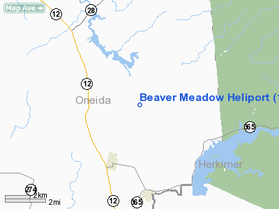
| From nearest city: | 3 nautical miles NE of Remsen, NY |
| Location: | Oneida County, NY |
| Magnetic Variation: | 13W (1985) |
Owner & Manager
| Ownership: | Privately owned |
| Owner: | Stephen C Burton |
| Address: | 10482 Bardwell Mills Road
Remsen, NY 13438 |
| Phone number: | 315-831-8549 |
| Manager: | Stephen C Burton |
| Address: | 10482 Bardwell Mills Road
Remsen, NY 13438 |
| Phone number: | 315-831-8549 |
Airport Operations and Facilities
| Airport Use: | Private |
| Wind indicator: | Yes |
| Segmented Circle: | No |
| Control Tower: | No |
| Sectional chart: | New York |
| Region: | AEA - Eastern |
| Boundary ARTCC: | ZBW - Boston |
| Tie-in FSS: | BUF - Buffalo |
| FSS Toll Free: | 1-800-WX-BRIEF |
Runway Information
Helipad H1
| Dimension: | 50 x 30 ft / 15.2 x 9.1 m |
| Surface: | ASPH, |
| |
Runway H1 |
Runway |
| Traffic Pattern: | Left | Left |
|
Radio Navigation Aids
| ID |
Type |
Name |
Ch |
Freq |
Var |
Dist |
| BK | NDB | Plein | | 329.00 | 12W | 16.6 nm |
| CJY | NDB | Clay | | 275.00 | 12W | 19.5 nm |
| JJH | NDB | Johnstown | | 523.00 | 14W | 42.5 nm |
| GTB | NDB | Drum | | 257.00 | 13W | 48.9 nm |
| GSS | TACAN | Griffiss | 057X | | 12W | 13.8 nm |
| UCA | VORTAC | Utica | 049X | 111.20 | 12W | 20.6 nm |
| GGT | VORTAC | Georgetown | 125X | 117.80 | 11W | 45.5 nm |
| SYR | VORTAC | Syracuse | 117X | 117.00 | 11W | 47.4 nm |
Remarks
- PRVDD PRIOR TO CONDUCTING OPERATIONS OWNER CONTACTS UTICA ATCT RE ESTABLISHED OPERATING PROCEDURES IN THE TRSA.
Images and information placed above are from
http://www.airport-data.com/airport/10NY/
We thank them for the data!
| General Info
|
| Country |
United States
|
| State |
NEW YORK
|
| FAA ID |
10NY
|
| Latitude |
43-22-08.248N
|
| Longitude |
075-09-34.592W
|
| Elevation |
1195 feet
|
| Near City |
REMSEN
|
We don't guarantee the information is fresh and accurate. The data may
be wrong or outdated.
For more up-to-date information please refer to other sources.
|
|


