 |
|
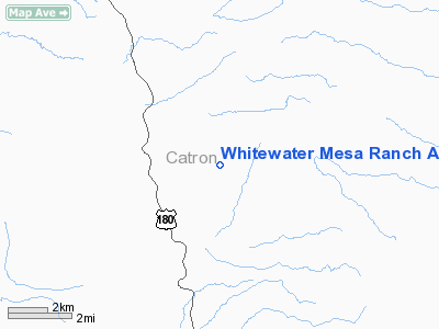
Whitewater Mesa Ranch Airport |
Location & QuickFacts
| FAA Information Effective: | 2008-09-25 |
| Airport Identifier: | NM55 |
| Airport Status: | Operational |
| Longitude/Latitude: | 108-51-49.0000W/33-21-46.0000N
-108.863611/33.362778 (Estimated) |
| Elevation: | 5460 ft / 1664.21 m (Estimated) |
| Land: | 0 acres |
| From nearest city: | 3 nautical miles NE of Glenwood, NM |
| Location: | Catron County, NM |
| Magnetic Variation: | 12E (1985) |
Owner & Manager
| Ownership: | Privately owned |
| Owner: | Vernon Holliman |
| Address: | Box 189
Glenwood, NM 88039 |
| Phone number: | 505-539-2721 |
| Manager: | Vernon Holliman |
| Address: | Box 189
Glenwood, NM 88039 |
| Phone number: | 505-539-2721 |
Airport Operations and Facilities
| Airport Use: | Private |
| Segmented Circle: | No |
| Control Tower: | No |
| Sectional chart: | Albuquerque |
| Region: | ASW - Southwest |
| Boundary ARTCC: | ZAB - Albuquerque |
| Tie-in FSS: | ABQ - Albuquerque |
| FSS Toll Free: | 1-800-WX-BRIEF |
Runway Information
Runway 09/27
| Dimension: | 1850 x 30 ft / 563.9 x 9.1 m |
| Surface: | TURF, |
| |
Runway 09 |
Runway 27 |
| Traffic Pattern: | Left | Left |
|
Runway 18/36
| Dimension: | 2300 x 30 ft / 701.0 x 9.1 m |
| Surface: | TURF, |
| |
Runway 18 |
Runway 36 |
| Traffic Pattern: | Left | Left |
|
Radio Navigation Aids
| ID |
Type |
Name |
Ch |
Freq |
Var |
Dist |
Remarks
- WATCH FOR TFC FM NEARBY GLENWOOD-CATRON CTY ARPT.
- PRVDD COMPATIBLE TFC PATTERNS & OPERATING PROCEDURES ARE ESTABLISHED AT GLENWOOD-CATRON COUNTY ARPT.
Images and information placed above are from
http://www.airport-data.com/airport/NM55/
We thank them for the data!
| General Info
|
| Country |
United States
|
| State |
NEW MEXICO
|
| FAA ID |
NM55
|
| Latitude |
33-21-46.000N
|
| Longitude |
108-51-49.000W
|
| Elevation |
5460 feet
|
| Near City |
GLENWOOD
|
We don't guarantee the information is fresh and accurate. The data may
be wrong or outdated.
For more up-to-date information please refer to other sources.
|
|


