 |
|
Location & QuickFacts
| FAA Information Effective: | 2008-09-25 |
| Airport Identifier: | N17 |
| Airport Status: | Operational |
| Longitude/Latitude: | 105-11-30.5590W/34-36-16.4890N
-105.191822/34.604580 (Estimated) |
| Elevation: | 5928 ft / 1806.85 m (Estimated) |
| Land: | 175 acres |
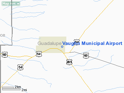
| From nearest city: | 1 nautical miles NE of Vaughn, NM |
| Location: | Guadalupe County, NM |
| Magnetic Variation: | () |
Owner & Manager
| Ownership: | Publicly owned |
| Owner: | Town Of Vaughn |
| Address: | Po Box 278
Vaughn, NM 88353 |
| Phone number: | 575-584-2301 |
| Manager: | Mayor Paul Madrid |
| Address: | Po Box 278
Vaughn, NM 88353 |
| Phone number: | 575-584-2301 |
Airport Operations and Facilities
| Airport Use: | Open to public |
| Control Tower: | No |
| Lighting Schedule: | DUSK-DAWN |
| Sectional chart: | Albuquerque |
| Region: | ASW - Southwest |
| Boundary ARTCC: | ZAB - Albuquerque |
| Tie-in FSS: | ABQ - Albuquerque |
| FSS Toll Free: | 1-800-WX-BRIEF |
| NOTAMs Facility: | ABQ (NOTAM-d service avaliable) |
| Federal Agreements: | N |
Airport Communications
Runway Information
Runway 09/27
| Dimension: | 5150 x 60 ft / 1569.7 x 18.3 m |
| Surface: | ASPH, Good Condition |
| Weight Limit: | Single wheel: 12500 lbs. |
| Edge Lights: | Medium
MIRL OTS INDEFLY. |
| |
Runway 09 |
Runway 27 |
| Longitude: | 105-12-01.1600W | 105-10-59.8410W |
| Latitude: | 34-36-19.4520N | 34-36-14.5080N |
| Elevation: | 5928.00 ft | 5902.00 ft |
| Traffic Pattern: | Left | Right |
| Markings: | Basic, Good Condition | Basic, Good Condition |
| Obstruction: | 55 ft pole, 1294.0 ft from runway, 234 ft right of centerline, 23:1 slope to clear | , 50:1 slope to clear |
|
Radio Navigation Aids
| ID |
Type |
Name |
Ch |
Freq |
Var |
Dist |
| OTO | VOR | Otto | | 114.00 | 13E | 46.2 nm |
| CNX | VORTAC | Corona | 102X | 115.50 | 13E | 28.0 nm |
| ACH | VORTAC | Anton Chico | 125X | 117.80 | 12E | 31.4 nm |
Images and information placed above are from
http://www.airport-data.com/airport/N17/
We thank them for the data!
|
|


