 |
|
Location & QuickFacts
| FAA Information Effective: | 2008-09-25 |
| Airport Identifier: | NM54 |
| Airport Status: | Operational |
| Longitude/Latitude: | 106-40-12.1210W/35-40-10.0970N
-106.670034/35.669471 (Estimated) |
| Elevation: | 5180 ft / 1578.86 m (Estimated) |
| Land: | 0 acres |
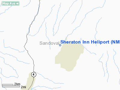
| From nearest city: | 0 nautical miles N of Albuquerque, NM |
| Location: | Bernalillo County, NM |
| Magnetic Variation: | 11E (1985) |
Owner & Manager
| Ownership: | Publicly owned |
| Owner: | New Mexico State Police Dept |
| Address: | Aircraft Section, Po Box 1628
Sante Fe, NM 87501 |
| Phone number: | 505-827-9216 |
| Address: |
|
Airport Operations and Facilities
| Airport Use: | Private |
| Segmented Circle: | No |
| Control Tower: | No |
| Sectional chart: | Albuquerque |
| Region: | ASW - Southwest |
| Boundary ARTCC: | ZAB - Albuquerque |
| Tie-in FSS: | ABQ - Albuquerque |
| FSS Toll Free: | 1-800-WX-BRIEF |
Runway Information
Helipad H1
| Dimension: | 428 x 227 ft / 130.5 x 69.2 m |
| Surface: | ASPH, |
| |
Runway H1 |
Runway |
| Traffic Pattern: | Left | Left |
|
Radio Navigation Aids
| ID |
Type |
Name |
Ch |
Freq |
Var |
Dist |
| ILT | NDB | Isleta | | 247.00 | 11E | 41.1 nm |
| SAF | VORTAC | Santa Fe | 043X | 110.60 | 13E | 30.6 nm |
| ABQ | VORTAC | Albuquerque | 079X | 113.20 | 13E | 38.3 nm |
| ABQ | VOT | Albuquerque Intl | | 111.00 | | 37.9 nm |
Images and information placed above are from
http://www.airport-data.com/airport/NM54/
We thank them for the data!
| General Info
|
| Country |
United States
|
| State |
NEW MEXICO
|
| FAA ID |
NM54
|
| Latitude |
35-40-10.097N
|
| Longitude |
106-40-12.121W
|
| Elevation |
5180 feet
|
| Near City |
ALBUQUERQUE
|
We don't guarantee the information is fresh and accurate. The data may
be wrong or outdated.
For more up-to-date information please refer to other sources.
|
|


