|
|
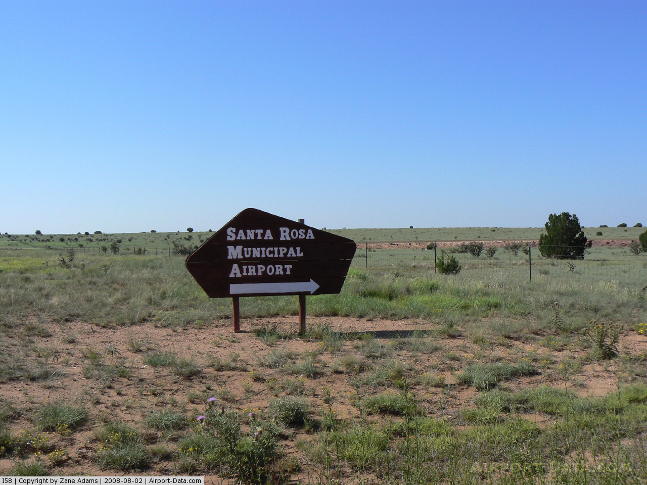
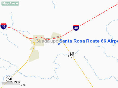
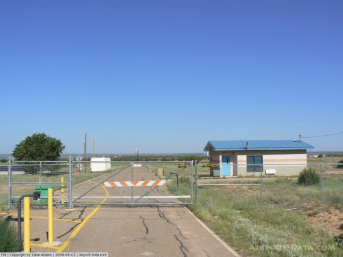
Santa Rosa Route 66 Airport |
 |
(Click on the photo to enlarge) |
 |
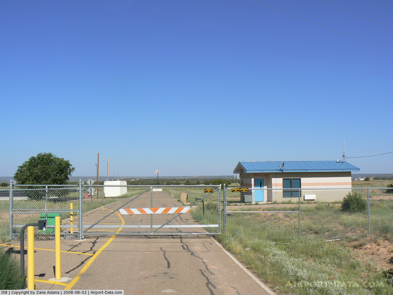
(Click on the photo to enlarge) |
Location & QuickFacts
| FAA Information Effective: | 2008-09-25 |
| Airport Identifier: | I58 |
| Airport Status: | Operational |
| Longitude/Latitude: | 104-38-33.2295W/34-56-08.4195N
-104.642564/34.935672 (Estimated) |
| Elevation: | 4792 ft / 1460.60 m (Estimated) |
| Land: | 401 acres |
| From nearest city: | 3 nautical miles E of Santa Rosa, NM |
| Location: | Guadalupe County, NM |
| Magnetic Variation: | 10E (1990) |
Owner & Manager
| Ownership: | Publicly owned |
| Owner: | Town Of Santa Rosa |
| Address: | 141 S 5th St
Santa Rosa, NM 88435 |
| Phone number: | 505-472-3404 |
| Manager: | Jim Anaya |
| Address: | 141 S 5th St
Santa Rosa, NM 88435 |
| Phone number: | 505-472-9942 |
Airport Operations and Facilities
| Airport Use: | Open to public |
| Wind indicator: | Yes |
| Segmented Circle: | Yes |
| Control Tower: | No |
| Lighting Schedule: | DUSK-DAWN
MIRL RYS 01/19 AND 08/26 PRESET MED INTST 0600-2200; TO INCR INTST ACTVT - CTAF. AFT 2200 ACTVT - CTAF. |
| Beacon Color: | Clear-Green (lighted land airport) |
| Landing fee charge: | No |
| Sectional chart: | Albuquerque |
| Region: | ASW - Southwest |
| Boundary ARTCC: | ZAB - Albuquerque |
| Tie-in FSS: | ABQ - Albuquerque |
| FSS on Airport: | No |
| FSS Toll Free: | 1-800-WX-BRIEF |
| NOTAMs Facility: | ABQ (NOTAM-d service avaliable) |
| Federal Agreements: | NGY |
Airport Communications
| CTAF: | 122.800 |
| Unicom: | 122.800 |
Airport Services
| Fuel available: | 100LLA
FUEL AVBL 24 HRS WITH MAJOR CREDIT CARD. |
| Airframe Repair: | NONE |
| Power Plant Repair: | NONE |
| Bottled Oxygen: | NONE |
| Bulk Oxygen: | NONE |
Runway Information
Runway 01/19
| Dimension: | 5013 x 75 ft / 1528.0 x 22.9 m |
| Surface: | ASPH, Good Condition |
| Weight Limit: | Single wheel: 12500 lbs. |
| Edge Lights: | Medium |
| |
Runway 01 |
Runway 19 |
| Longitude: | 104-38-36.1990W | 104-38-14.1120W |
| Latitude: | 34-55-34.1950N | 34-56-20.3180N |
| Elevation: | 4779.00 ft | 4792.00 ft |
| Alignment: | 21 | 127 |
| Traffic Pattern: | Left | Left |
| Markings: | Basic, Good Condition | Basic, Good Condition |
| Crossing Height: | 0.00 ft | 26.00 ft |
| VASI: | | pulsating/steady burning on left side |
| Visual Glide Angle: | 0.00° | 3.00° |
| Obstruction: | 5 ft trees, 310.0 ft from runway, 22:1 slope to clear
+5 FT BRUSH 0-200 FT FROM THLD 80 FT LEFT. | 19 ft road, 590.0 ft from runway, 310 ft left of centerline, 20:1 slope to clear |
|
Runway 08/26
| Dimension: | 4294 x 60 ft / 1308.8 x 18.3 m |
| Surface: | ASPH, Fair Condition |
| Weight Limit: | Single wheel: 11500 lbs. |
| Edge Lights: | Medium |
| |
Runway 08 |
Runway 26 |
| Longitude: | 104-39-08.4350W | 104-38-16.8720W |
| Latitude: | 34-56-20.9850N | 34-56-21.9130N |
| Elevation: | 4767.00 ft | 4784.00 ft |
| Alignment: | 89 | 127 |
| Traffic Pattern: | Left | Left |
| Markings: | Basic, Fair Condition | Basic, Fair Condition |
| Crossing Height: | 0.00 ft | 27.00 ft |
| Displaced threshold: | 0.00 ft | 118.00 ft |
| VASI: | | pulsating/steady burning on left side |
| Visual Glide Angle: | 0.00° | 3.85° |
| Obstruction: | 10 ft brush, 200.0 ft from runway
+10' TREES 100' RIGHT AND 125' LEFT OF CNTRLN RWY 08.
+10 FT MAINTENANCE ACCESS ROAD 10-200 FT FM RY END ALIGNED WITH EXTDD RY CNTRLN. | 27 ft road, 680.0 ft from runway, 170 ft right of centerline, 17:1 slope to clear
APCH SLOPE 22:1 FM DSPLCD THLD. |
|
Radio Navigation Aids
| ID |
Type |
Name |
Ch |
Freq |
Var |
Dist |
| ACH | VORTAC | Anton Chico | 125X | 117.80 | 12E | 22.2 nm |
| FTI | VORTAC | Fort Union | 120X | 117.30 | 13E | 49.7 nm |
Remarks
- WILDLIFE ON AND IN VICINITY OF AIRPORT.
- GATE ACCESS CODE- #4492.
- EMERGENCY PHONE SANTA ROSA POLICE DEPARTMENT 505-472-3605.
Images and information placed above are from
http://www.airport-data.com/airport/I58/
We thank them for the data!
| General Info
|
| Country |
United States
|
| State |
NEW MEXICO
|
| FAA ID |
I58
|
| Time |
UTC-7(-6DT)
|
| Latitude |
34.934425
34° 56' 03.93" N
|
| Longitude |
-104.643064
104° 38' 35.03" W
|
| Elevation |
4790 feet
1460 meters
|
| Magnetic Variation |
009° E (07/06)
|
| Beacon |
Yes
|
| Operating Agency |
U.S.CIVIL AIRPORT WHEREIN PERMIT COVERS USE BY TRANSIT MILITARY AIRCRAFT
|
| Operating Hours |
SEE REMARKS FOR OPERATING HOURS OR COMMUNICATIONS FOR POSSIBLE HOURS
|
| Daylight Saving Time |
Second Sunday in March at 0200 to first Sunday in November at 0200 local time (Exception Arizona and that portion of Indiana in the Eastern Time Zone)
|
We don't guarantee the information is fresh and accurate. The data may
be wrong or outdated.
For more up-to-date information please refer to other sources.
|
|