 |
|
Location & QuickFacts
| FAA Information Effective: | 2008-09-25 |
| Airport Identifier: | NM29 |
| Airport Status: | Operational |
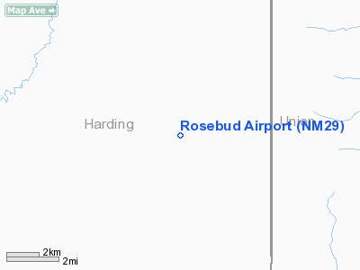
| Longitude/Latitude: | 103-26-11.8340W/35-50-03.1360N
-103.436621/35.834204 (Estimated) |
| Elevation: | 4820 ft / 1469.14 m (Surveyed) |
| Land: | 480 acres |
| From nearest city: | 0 nautical miles S of Rosebud, NM |
| Location: | Harding County, NM |
| Magnetic Variation: | 10E (1985) |
Owner & Manager
| Ownership: | Privately owned |
| Owner: | Co2 In Action |
| Address: | Drawer K
Amistad, NM 88410 |
| Phone number: | 505-633-2964 |
| Manager: | Lloyd Brandes |
| Address: | Drawer K
Amistad, NM88410 |
| Phone number: | 505-633-2230 |
Airport Operations and Facilities
| Airport Use: | Private |
| Wind indicator: | Yes |
| Segmented Circle: | No |
| Control Tower: | No |
| Landing fee charge: | No |
| Sectional chart: | Albuquerque |
| Region: | ASW - Southwest |
| Boundary ARTCC: | ZAB - Albuquerque |
| Tie-in FSS: | ABQ - Albuquerque |
| FSS on Airport: | No |
| FSS Toll Free: | 1-800-WX-BRIEF |
Runway Information
Runway 02/20
| Dimension: | 3000 x 60 ft / 914.4 x 18.3 m |
| Surface: | DIRT, |
| |
Runway 02 |
Runway 20 |
| Traffic Pattern: | Left | Left |
| Obstruction: | | 30 ft pline, 200.0 ft from runway |
|
Radio Navigation Aids
| ID |
Type |
Name |
Ch |
Freq |
Var |
Dist |
| CAO | NDB | Clayton | | 332.00 | 09E | 39.2 nm |
| TCC | VORTAC | Tucumcari | 083X | 113.60 | 12E | 40.0 nm |
| DHT | VORTAC | Dalhart | 057X | 112.00 | 12E | 46.1 nm |
Images and information placed above are from
http://www.airport-data.com/airport/NM29/
We thank them for the data!
| General Info
|
| Country |
United States
|
| State |
NEW MEXICO
|
| FAA ID |
NM29
|
| Latitude |
35-50-03.136N
|
| Longitude |
103-26-11.834W
|
| Elevation |
4820 feet
|
| Near City |
ROSEBUD
|
We don't guarantee the information is fresh and accurate. The data may
be wrong or outdated.
For more up-to-date information please refer to other sources.
|
|


