 |
|
Location & QuickFacts
| FAA Information Effective: | 2008-09-25 |
| Airport Identifier: | NM70 |
| Airport Status: | Operational |
| Longitude/Latitude: | 109-02-30.0000W/31-57-00.0000N
-109.041667/31.950000 (Estimated) |
| Elevation: | 4157 ft / 1267.05 m (Estimated) |
| Land: | 0 acres |
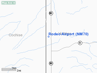
| From nearest city: | 6 nautical miles N of Rodeo, NM |
| Location: | Hidalgo County, NM |
| Magnetic Variation: | 11E (2000) |
Owner & Manager
| Ownership: | Privately owned |
| Owner: | Cleo Chamberlain |
| Address: | Po Box 27
Rodeo, NM 88056 |
| Phone number: | 575-557-2343 |
| Manager: | Cleo Chamberlain |
| Address: | Po Box 27
Rodeo, NM 88056 |
| Phone number: | 575-557-2343 |
Airport Operations and Facilities
| Airport Use: | Private |
| Wind indicator: | Yes |
| Segmented Circle: | No |
| Control Tower: | No |
| Sectional chart: | Phoenix |
| Region: | ASW - Southwest |
| Boundary ARTCC: | ZAB - Albuquerque |
| Tie-in FSS: | ABQ - Albuquerque |
| FSS Toll Free: | 1-800-WX-BRIEF |
Airport Communications
Runway Information
Runway 17/35
| Dimension: | 6000 x 50 ft / 1828.8 x 15.2 m |
| Surface: | TURF, |
| |
Runway 17 |
Runway 35 |
| Traffic Pattern: | Right | Left |
|
Radio Navigation Aids
| ID |
Type |
Name |
Ch |
Freq |
Var |
Dist |
| SSO | VORTAC | San Simon | 101X | 115.40 | 13E | 22.3 nm |
| CIE | VORTAC | Cochise | 105X | 115.80 | 13E | 36.9 nm |
| DUG | VORTAC | Douglas | 025X | 108.80 | 13E | 40.5 nm |
Remarks
- PRVDD NO OTHER ARPTS WITHIN 20 NM OF THIS ARPT.
Images and information placed above are from
http://www.airport-data.com/airport/NM70/
We thank them for the data!
| General Info
|
| Country |
United States
|
| State |
NEW MEXICO
|
| FAA ID |
NM70
|
| Latitude |
31-57-00.000N
|
| Longitude |
109-02-30.000W
|
| Elevation |
4157 feet
|
| Near City |
RODEO
|
We don't guarantee the information is fresh and accurate. The data may
be wrong or outdated.
For more up-to-date information please refer to other sources.
|
|


