 |
|
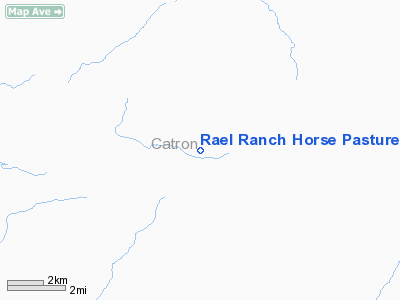
Rael Ranch Horse Pasture Airport |
Location & QuickFacts
| FAA Information Effective: | 2008-09-25 |
| Airport Identifier: | NM68 |
| Airport Status: | Operational |
| Longitude/Latitude: | 108-20-36.2000W/33-48-18.1900N
-108.343389/33.805053 (Estimated) |
| Elevation: | 6950 ft / 2118.36 m (Estimated) |
| Land: | 80 acres |
| From nearest city: | 10 nautical miles SW of Horse Springs, NM |
| Location: | Catron County, NM |
| Magnetic Variation: | 11E (1995) |
Owner & Manager
| Ownership: | Privately owned |
| Owner: | Pedro G. Rael |
| Address: | Po Box 460
Los Lunas, NM 87031 |
| Phone number: | 505-865-6811 |
| Manager: | Pedro G. Rael |
| Address: | Po Box 460
Los Lunas, NM 87031 |
| Phone number: | 505-865-6811 |
Airport Operations and Facilities
| Airport Use: | Private |
| Wind indicator: | Yes |
| Segmented Circle: | No |
| Control Tower: | No |
| Sectional chart: | Albuquerque |
| Region: | ASW - Southwest |
| Boundary ARTCC: | ZAB - Albuquerque |
| Tie-in FSS: | ABQ - Albuquerque |
| FSS Toll Free: | 1-800-WX-BRIEF |
Runway Information
Runway 06/24
| Dimension: | 2500 x 30 ft / 762.0 x 9.1 m |
| Surface: | TURF-DIRT, |
| |
Runway 06 |
Runway 24 |
| Traffic Pattern: | Left | Left |
|
Radio Navigation Aids
| ID |
Type |
Name |
Ch |
Freq |
Var |
Dist |
Images and information placed above are from
http://www.airport-data.com/airport/NM68/
We thank them for the data!
| General Info
|
| Country |
United States
|
| State |
NEW MEXICO
|
| FAA ID |
NM68
|
| Latitude |
33-48-18.190N
|
| Longitude |
108-20-36.200W
|
| Elevation |
6950 feet
|
| Near City |
HORSE SPRINGS
|
We don't guarantee the information is fresh and accurate. The data may
be wrong or outdated.
For more up-to-date information please refer to other sources.
|
|


