 |
|
Location & QuickFacts
| FAA Information Effective: | 2008-09-25 |
| Airport Identifier: | NM66 |
| Airport Status: | Operational |
| Longitude/Latitude: | 108-04-37.2000W/34-24-54.6600N
-108.077000/34.415183 (Estimated) |
| Elevation: | 7420 ft / 2261.62 m (Estimated) |
| Land: | 0 acres |
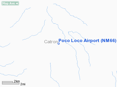
| From nearest city: | 8 nautical miles NE of Pie Town, NM |
| Location: | Catron County, NM |
| Magnetic Variation: | 11E (1995) |
Owner & Manager
| Ownership: | Privately owned |
| Owner: | Wolfgang Rempen |
| Address: | 2812 Tennessee Ne
Albuquerque, NM 87110 |
| Phone number: | 505-292-9270 |
| Manager: | Wolfgang Rempen |
| Address: | 2812 Tennessee Ne
Albuquerque, NM 87110 |
| Phone number: | 505-292-9270 |
Airport Operations and Facilities
| Airport Use: | Private |
| Wind indicator: | Yes |
| Segmented Circle: | No |
| Control Tower: | No |
| Sectional chart: | Albuquerque |
| Region: | ASW - Southwest |
| Boundary ARTCC: | ZAB - Albuquerque |
| Tie-in FSS: | ABQ - Albuquerque |
| FSS on Airport: | No |
| FSS Toll Free: | 1-800-WX-BRIEF |
Runway Information
Runway 10/28
| Dimension: | 3000 x 30 ft / 914.4 x 9.1 m |
| Surface: | DIRT, |
| |
Runway 10 |
Runway 28 |
| Traffic Pattern: | Left | Left |
| Obstruction: | 15 ft trees, 50.0 ft from runway | 15 ft trees, 50.0 ft from runway |
|
Radio Navigation Aids
| ID |
Type |
Name |
Ch |
Freq |
Var |
Dist |
Images and information placed above are from
http://www.airport-data.com/airport/NM66/
We thank them for the data!
| General Info
|
| Country |
United States
|
| State |
NEW MEXICO
|
| FAA ID |
NM66
|
| Latitude |
34-24-54.660N
|
| Longitude |
108-04-37.200W
|
| Elevation |
7420 feet
|
| Near City |
PIE TOWN
|
We don't guarantee the information is fresh and accurate. The data may
be wrong or outdated.
For more up-to-date information please refer to other sources.
|
|


