 |
|
Location & QuickFacts
| FAA Information Effective: | 2008-09-25 |
| Airport Identifier: | NM21 |
| Airport Status: | Closed Permanently |
| Longitude/Latitude: | 105-52-11.0690W/35-10-30.1660N
-105.869741/35.175046 (Estimated) |
| Elevation: | 6696 ft / 2040.94 m (Estimated) |
| Land: | 0 acres |
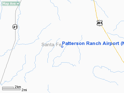
| From nearest city: | 5 nautical miles E of Stanley, NM |
| Location: | Santa Fe County, NM |
| Magnetic Variation: | 11E (1985) |
Owner & Manager
| Ownership: | Privately owned |
| Owner: | Bill Patterson |
| Address: | Box 11
Stanley, NM 87056 |
| Phone number: | 505-832-6236 |
| Manager: | Bill Patterson |
| Address: | Box 11
Stanley, NM 87056 |
| Phone number: | 505-832-6236 |
Airport Operations and Facilities
| Airport Use: | Private |
| Segmented Circle: | No |
| Control Tower: | No |
| Sectional chart: | Albuquerque |
| Region: | ASW - Southwest |
| Boundary ARTCC: | ZAB - Albuquerque |
| Tie-in FSS: | ABQ - Albuquerque |
| FSS on Airport: | No |
| FSS Toll Free: | 1-800-WX-BRIEF |
Runway Information
Runway 18/36
| Dimension: | 2890 x 50 ft / 880.9 x 15.2 m |
| Surface: | TURF, |
| |
Runway 18 |
Runway 36 |
| Traffic Pattern: | Left | Left |
|
Helipad H1
| Dimension: | 150 x 150 ft / 45.7 x 45.7 m |
| Surface: | TURF, |
| |
Runway H1 |
Runway |
| Traffic Pattern: | Left | Left |
|
Radio Navigation Aids
| ID |
Type |
Name |
Ch |
Freq |
Var |
Dist |
| ILT | NDB | Isleta | | 247.00 | 11E | 38.6 nm |
| OTO | VOR | Otto | | 114.00 | 13E | 7.0 nm |
| SAF | VORTAC | Santa Fe | 043X | 110.60 | 13E | 24.0 nm |
| ACH | VORTAC | Anton Chico | 125X | 117.80 | 12E | 41.0 nm |
| FTI | VORTAC | Fort Union | 120X | 117.30 | 13E | 46.2 nm |
| ABQ | VORTAC | Albuquerque | 079X | 113.20 | 13E | 47.2 nm |
| CNX | VORTAC | Corona | 102X | 115.50 | 13E | 49.5 nm |
| ABQ | VOT | Albuquerque Intl | | 111.00 | | 37.1 nm |
Remarks
- (ARPT STATUS) ARPT CLSD PERMLY.
Images and information placed above are from
http://www.airport-data.com/airport/NM21/
We thank them for the data!
| General Info
|
| Country |
United States
|
| State |
NEW MEXICO
|
| FAA ID |
NM21
|
| Latitude |
35-10-30.166N
|
| Longitude |
105-52-11.069W
|
| Elevation |
6696 feet
|
| Near City |
STANLEY
|
We don't guarantee the information is fresh and accurate. The data may
be wrong or outdated.
For more up-to-date information please refer to other sources.
|
|


