 |
|
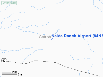
Location & QuickFacts
| FAA Information Effective: | 2008-09-25 |
| Airport Identifier: | 84NM |
| Airport Status: | Operational |
| Longitude/Latitude: | 108-09-44.2230W/34-21-12.1940N
-108.162284/34.353387 (Estimated) |
| Elevation: | 7531 ft / 2295.45 m (Surveyed) |
| Land: | 0 acres |
| From nearest city: | 3 nautical miles NW of Pie Town, NM |
| Location: | Catron County, NM |
| Magnetic Variation: | 12E (1985) |
Owner & Manager
| Ownership: | Privately owned |
| Owner: | Louie Nalda |
| Address: | Diamond T Ranch
Pie Town, NM 78727 |
| Address: |
|
Airport Operations and Facilities
| Airport Use: | Private |
| Segmented Circle: | No |
| Control Tower: | No |
| Landing fee charge: | No |
| Sectional chart: | Albuquerque |
| Region: | ASW - Southwest |
| Boundary ARTCC: | ZAB - Albuquerque |
| Tie-in FSS: | ABQ - Albuquerque |
| FSS on Airport: | No |
| FSS Toll Free: | 1-800-WX-BRIEF |
Airport Services
| Airframe Repair: | NONE |
| Power Plant Repair: | NONE |
Runway Information
Runway E/W
| Dimension: | 5000 x 40 ft / 1524.0 x 12.2 m |
| Surface: | DIRT, |
| |
Runway E |
Runway W |
| Traffic Pattern: | Left | Left |
|
Radio Navigation Aids
| ID |
Type |
Name |
Ch |
Freq |
Var |
Dist |
| SJN | VORTAC | St Johns | 070X | 112.30 | 12E | 48.9 nm |
Images and information placed above are from
http://www.airport-data.com/airport/84NM/
We thank them for the data!
| General Info
|
| Country |
United States
|
| State |
NEW MEXICO
|
| FAA ID |
84NM
|
| Latitude |
34-21-12.194N
|
| Longitude |
108-09-44.223W
|
| Elevation |
7531 feet
|
| Near City |
PIE TOWN
|
We don't guarantee the information is fresh and accurate. The data may
be wrong or outdated.
For more up-to-date information please refer to other sources.
|
|


