 |
|
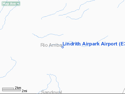
Location & QuickFacts
| FAA Information Effective: | 2008-09-25 |
| Airport Identifier: | E32 |
| Airport Status: | Operational |
| Longitude/Latitude: | 107-03-22.1560W/36-17-29.0630N
-107.056154/36.291406 (Estimated) |
| Elevation: | 7202 ft / 2195.17 m (Estimated) |
| Land: | 0 acres |
| From nearest city: | 1 nautical miles SW of Lindrith, NM |
| Location: | Rio Arriba County, NM |
| Magnetic Variation: | 12E (1985) |
Owner & Manager
| Ownership: | Publicly owned |
| Owner: | Bureau Of Land Management
LEASED BY WILDERNESS AREA RESQUE SQUAD, INC. |
| Address: | Po Box 1449
Santa Fe, NM 87501 |
| Phone number: | 505-988-6000 |
| Manager: | Rol Murrow |
| Address: | 2060 State Highway 595
Lindrith, NM 87029 |
| Phone number: | 505-774-0029
OR 505-362-8232 (CELL); 815-572-9192 (FAX). |
Airport Operations and Facilities
| Airport Use: | Open to public |
| Wind indicator: | Yes |
| Segmented Circle: | No |
| Control Tower: | No |
| Landing fee charge: | No |
| Sectional chart: | Denver |
| Region: | ASW - Southwest |
| Boundary ARTCC: | ZAB - Albuquerque |
| Tie-in FSS: | ABQ - Albuquerque |
| FSS on Airport: | No |
| FSS Toll Free: | 1-800-WX-BRIEF |
| NOTAMs Facility: | ABQ (NOTAM-d service avaliable) |
Airport Communications
Airport Services
| Bottled Oxygen: | NONE |
| Bulk Oxygen: | NONE |
Runway Information
Runway 07/25
| Dimension: | 3300 x 75 ft / 1005.8 x 22.9 m |
| Surface: | DIRT, Good Condition
SOFT WHEN WET. |
| |
Runway 07 |
Runway 25 |
| Traffic Pattern: | Left | Left |
| Obstruction: | , 50:1 slope to clear | 10 ft trees, 200.0 ft from runway, 120 ft left of centerline, 20:1 slope to clear |
|
Radio Navigation Aids
| ID |
Type |
Name |
Ch |
Freq |
Var |
Dist |
Remarks
- BEWARE OF WINDSHEAR RY 25 WITH SOUTH WINDS.
- STEEP DROP OFFS RY 07 END & NORTH RY EDGES.
- CATTLE & DEER ON & INVOF ARPT.
- RY 07 +1 FT MOUNDS OF DIRT 250 FT FM THLD.
Images and information placed above are from
http://www.airport-data.com/airport/E32/
We thank them for the data!
| General Info
|
| Country |
United States
|
| State |
NEW MEXICO
|
| FAA ID |
E32
|
| Latitude |
36-17-29.063N
|
| Longitude |
107-03-22.156W
|
| Elevation |
7202 feet
|
| Near City |
LINDRITH
|
We don't guarantee the information is fresh and accurate. The data may
be wrong or outdated.
For more up-to-date information please refer to other sources.
|
|


