 |
|
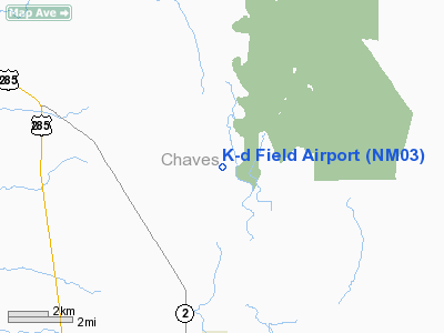
Location & QuickFacts
| FAA Information Effective: | 2008-09-25 |
| Airport Identifier: | NM03 |
| Airport Status: | Closed Permanently |
| Longitude/Latitude: | 104-22-07.8740W/33-16-30.3740N
-104.368854/33.275104 (Estimated) |
| Elevation: | 3465 ft / 1056.13 m (Estimated) |
| Land: | 80 acres |
| From nearest city: | 4 nautical miles N of Dexter, NM |
| Location: | Chaves County, NM |
| Magnetic Variation: | 10E (1985) |
Owner & Manager
| Ownership: | Privately owned |
| Owner: | Richard & Karole Frankenfield |
| Address: | 3112 Encanto Dr.
Roswell, NM 88201 |
| Phone number: | 505-622-1160 |
| Manager: | Dick & Karole Frankenfield |
| Address: | 3112 Encanto Drive
Roswell, NM 88201 |
| Phone number: | 505-623-7921 |
Airport Operations and Facilities
| Airport Use: | Private |
| Wind indicator: | Yes |
| Segmented Circle: | No |
| Control Tower: | No |
| Sectional chart: | Albuquerque |
| Region: | ASW - Southwest |
| Boundary ARTCC: | ZAB - Albuquerque |
| Tie-in FSS: | ABQ - Albuquerque |
| FSS on Airport: | No |
| FSS Toll Free: | 1-800-WX-BRIEF |
Runway Information
Runway 03/21
| Dimension: | 1700 x 50 ft / 518.2 x 15.2 m |
| Surface: | TURF, |
| |
Runway 03 |
Runway 21 |
| Traffic Pattern: | Left | Left |
|
Runway 09/27
| Dimension: | 2400 x 50 ft / 731.5 x 15.2 m |
| Surface: | TURF, |
| |
Runway 09 |
Runway 27 |
| Traffic Pattern: | Left | Left |
|
Runway 12/30
| Dimension: | 1900 x 50 ft / 579.1 x 15.2 m |
| Surface: | TURF, |
| |
Runway 12 |
Runway 30 |
| Traffic Pattern: | Left | Left |
|
Runway 17/35
| Dimension: | 1000 x 50 ft / 304.8 x 15.2 m |
| Surface: | TURF, |
| |
Runway 17 |
Runway 35 |
| Traffic Pattern: | Left | Left |
|
Radio Navigation Aids
| ID |
Type |
Name |
Ch |
Freq |
Var |
Dist |
| RO | NDB | Topan | | 305.00 | 10E | 6.6 nm |
| ATS | NDB | Artesia | | 414.00 | 09E | 25.8 nm |
| CME | VORTAC | Chisum | 108X | 116.10 | 12E | 13.2 nm |
Remarks
- (ARPT STATUS) ARPT CLSD PERMLY.
Images and information placed above are from
http://www.airport-data.com/airport/NM03/
We thank them for the data!
| General Info
|
| Country |
United States
|
| State |
NEW MEXICO
|
| FAA ID |
NM03
|
| Latitude |
33-16-30.374N
|
| Longitude |
104-22-07.874W
|
| Elevation |
3465 feet
|
| Near City |
DEXTER
|
We don't guarantee the information is fresh and accurate. The data may
be wrong or outdated.
For more up-to-date information please refer to other sources.
|
|


