 |
|
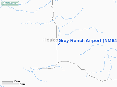
Location & QuickFacts
| FAA Information Effective: | 2008-09-25 |
| Airport Identifier: | NM64 |
| Airport Status: | Operational |
| Longitude/Latitude: | 108-51-45.2100W/31-27-31.3400N
-108.862558/31.458706 (Estimated) |
| Elevation: | 5155 ft / 1571.24 m (Estimated) |
| Land: | 0 acres |
| From nearest city: | 30 nautical miles S of Animas, NM |
| Location: | Hidalgo County, NM |
| Magnetic Variation: | 11E (1990) |
Owner & Manager
| Ownership: | Privately owned |
| Owner: | Animas Foundation |
| Address: | Hc 65 Box 179-b
Animas, NM 88020 |
| Phone number: | 505-548-2620 |
| Manager: | Bennett Brown |
| Address: | Hc 65 Box 179-b
Animas, NM 88020 |
| Phone number: | 505-548-2620 |
Airport Operations and Facilities
| Airport Use: | Private |
| Wind indicator: | Yes |
| Segmented Circle: | No |
| Control Tower: | No |
| Sectional chart: | El Paso |
| Region: | ASW - Southwest |
| Boundary ARTCC: | ZAB - Albuquerque |
| Tie-in FSS: | ABQ - Albuquerque |
| FSS on Airport: | No |
| FSS Toll Free: | 1-800-WX-BRIEF |
Runway Information
Runway 04/22
| Dimension: | 1800 x 30 ft / 548.6 x 9.1 m |
| Surface: | ASPH, |
| |
Runway 04 |
Runway 22 |
| Traffic Pattern: | Left | Left |
|
Runway 12/30
| Dimension: | 1800 x 50 ft / 548.6 x 15.2 m |
| Surface: | TURF, |
| |
Runway 12 |
Runway 30 |
| Traffic Pattern: | Left | Left |
|
Radio Navigation Aids
| ID |
Type |
Name |
Ch |
Freq |
Var |
Dist |
| DUG | VORTAC | Douglas | 025X | 108.80 | 13E | 37.9 nm |
Images and information placed above are from
http://www.airport-data.com/airport/NM64/
We thank them for the data!
| General Info
|
| Country |
United States
|
| State |
NEW MEXICO
|
| FAA ID |
NM64
|
| Latitude |
31-27-31.340N
|
| Longitude |
108-51-45.210W
|
| Elevation |
5155 feet
|
| Near City |
ANIMAS
|
We don't guarantee the information is fresh and accurate. The data may
be wrong or outdated.
For more up-to-date information please refer to other sources.
|
|


