|
|
 |
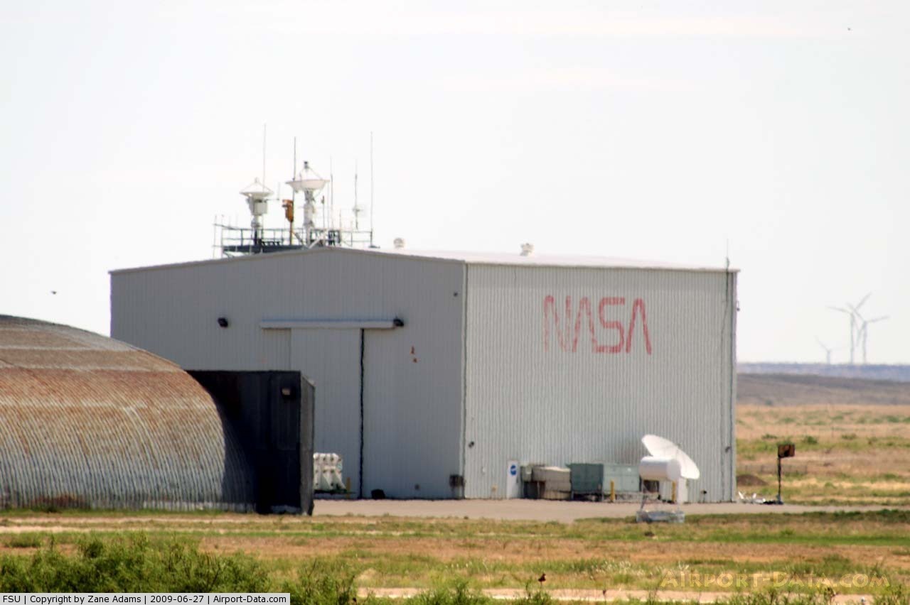
(Click on the photo to enlarge) |
 |
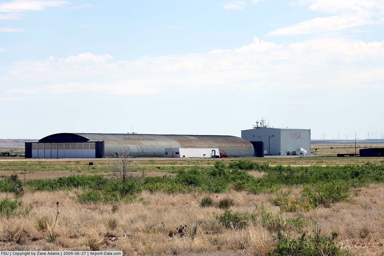
(Click on the photo to enlarge) |
 |
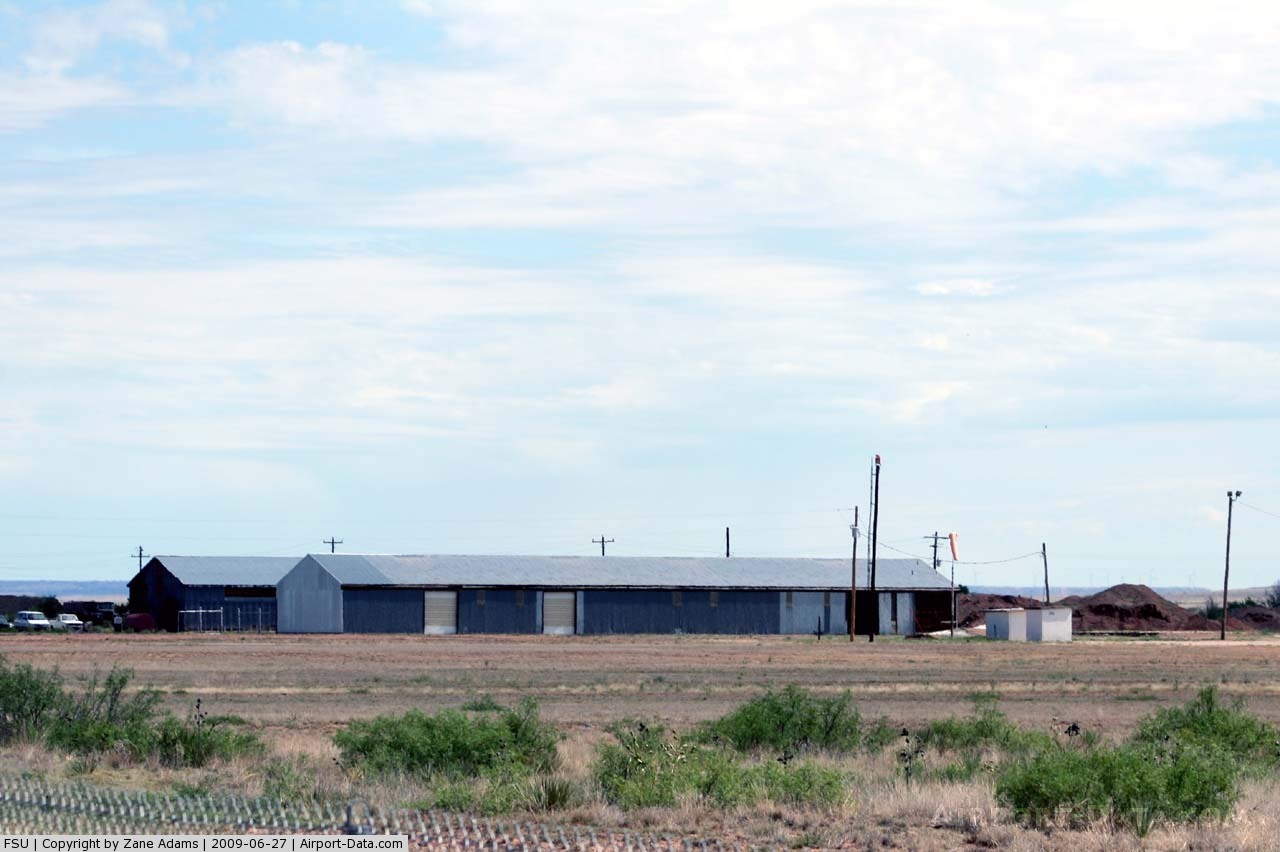
(Click on the photo to enlarge) |
Location & QuickFacts
| FAA Information Effective: | 2008-09-25 |
| Airport Identifier: | FSU |
| Airport Status: | Operational |
| Longitude/Latitude: | 104-13-01.9080W/34-29-00.2380N
-104.217197/34.483399 (Estimated) |
| Elevation: | 4165 ft / 1269.49 m (Estimated) |
| Land: | 960 acres |
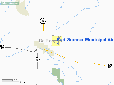
| From nearest city: | 2 nautical miles NE of Fort Sumner, NM |
| Location: | De Baca County, NM |
| Magnetic Variation: | 10E (1985) |
Owner & Manager
| Ownership: | Publicly owned |
| Owner: | Village Of Fort Sumner
MAYOR JUAN CHAVEZ. |
| Address: | Po Box 180
Fort Sumner, NM 88119 |
| Phone number: | 575-355-2401 |
| Manager: | Dorothy Moyer |
| Address: | Box 180
Fort Sumner, NM 88119 |
| Phone number: | 575-799-7654 |
Airport Operations and Facilities
| Airport Use: | Open to public |
| Wind indicator: | Yes |
| Segmented Circle: | Yes |
| Control Tower: | No |
| Lighting Schedule: | DUSK-DAWN
ACTVT MIRL RY 08/26 - CTAF. MIRL RY 03/21 PRESET LOW INTST DUSK-2200; AFT 2200 ACTVT - CTAF. |
| Beacon Color: | Clear-Green (lighted land airport) |
| Landing fee charge: | No |
| Sectional chart: | Albuquerque |
| Region: | ASW - Southwest |
| Boundary ARTCC: | ZAB - Albuquerque |
| Tie-in FSS: | ABQ - Albuquerque |
| FSS on Airport: | No |
| FSS Toll Free: | 1-800-WX-BRIEF |
| NOTAMs Facility: | ABQ (NOTAM-d service avaliable) |
| Federal Agreements: | NGPY |
Airport Communications
| CTAF: | 122.800 |
| Unicom: | 122.800 |
Airport Services
| Bottled Oxygen: | NONE |
| Bulk Oxygen: | NONE |
Runway Information
Runway 03/21
| Dimension: | 5800 x 75 ft / 1767.8 x 22.9 m |
| Surface: | ASPH, Fair Condition |
| Weight Limit: | Single wheel: 25000 lbs. |
| Edge Lights: | Medium |
| |
Runway 03 |
Runway 21 |
| Traffic Pattern: | Left | Left |
| Markings: | Basic, Fair Condition | Basic, Fair Condition |
| VASI: | | pulsating/steady burning on left side |
|
Runway 08/26
| Dimension: | 5300 x 60 ft / 1615.4 x 18.3 m |
| Surface: | ASPH, Good Condition |
| Weight Limit: | Single wheel: 17000 lbs. |
| Edge Lights: | Medium |
| |
Runway 08 |
Runway 26 |
| Traffic Pattern: | Left | Left |
| Markings: | Basic, Good Condition | Basic, Good Condition |
| VASI: | | pulsating/steady burning on left side |
| Obstruction: | 15 ft road, 625.0 ft from runway, 28:1 slope to clear | 4 ft brush, 201.0 ft from runway, 100L/ ft right of centerline
+4-6 FT BRUSH 0-200 FT FM THLD 100 FT LEFT AND RIGHT. |
|
Radio Navigation Aids
| ID |
Type |
Name |
Ch |
Freq |
Var |
Dist |
| PRZ | NDB | Portales | | 407.00 | 09E | 44.9 nm |
| CVS | TACAN | Cannon | 053X | | 10E | 44.8 nm |
Remarks
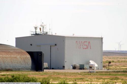
Images and information placed above are from
http://www.airport-data.com/airport/FSU/
We thank them for the data!
| General Info
|
| Country |
United States
|
| State |
NEW MEXICO
|
| FAA ID |
FSU
|
| Latitude |
34-29-00.238N
|
| Longitude |
104-13-01.908W
|
| Elevation |
4165 feet
|
| Near City |
FORT SUMNER
|
We don't guarantee the information is fresh and accurate. The data may
be wrong or outdated.
For more up-to-date information please refer to other sources.
|
|