 |
|
Location & QuickFacts
| FAA Information Effective: | 2008-09-25 |
| Airport Identifier: | E92 |
| Airport Status: | Operational |
| Longitude/Latitude: | 106-02-29.0600W/34-45-48.2160N
-106.041406/34.763393 (Estimated) |
| Elevation: | 6100 ft / 1859.28 m (Surveyed) |
| Land: | 80 acres |
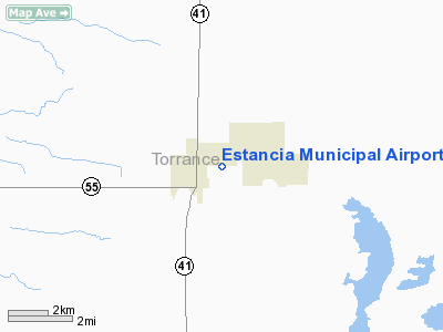
| From nearest city: | 1 nautical miles E of Estancia, NM |
| Location: | Torrance County, NM |
| Magnetic Variation: | 11E (1985) |
Owner & Manager
| Ownership: | Publicly owned |
| Owner: | Town Of Estancia |
| Address: | Po Box 166
Estancia, NM 87016 |
| Phone number: | 505-384-2708 |
| Manager: | Martin Hibbs |
| Address: | Po Box 166
Estancia, NM 87016 |
| Phone number: | 505-384-2708 |
Airport Operations and Facilities
| Airport Use: | Open to public |
| Wind indicator: | Yes |
| Segmented Circle: | No |
| Control Tower: | No |
| Landing fee charge: | No |
| Sectional chart: | Albuquerque |
| Region: | ASW - Southwest |
| Boundary ARTCC: | ZAB - Albuquerque |
| Tie-in FSS: | ABQ - Albuquerque |
| FSS on Airport: | No |
| FSS Toll Free: | 1-800-WX-BRIEF |
| NOTAMs Facility: | ABQ (NOTAM-d service avaliable) |
| Federal Agreements: | GY |
Airport Communications
Airport Services
| Airframe Repair: | NONE |
| Power Plant Repair: | NONE |
| Bottled Oxygen: | NONE |
| Bulk Oxygen: | NONE |
Runway Information
Runway 08/26
| Dimension: | 4000 x 50 ft / 1219.2 x 15.2 m |
| Surface: | GRVL, Fair Condition |
| |
Runway 08 |
Runway 26 |
| Traffic Pattern: | Left | Left |
| Approach lights: | NSTD
NSTD ODALS - 1 FLASHING LGT ON RY CNTRLN & 2 AT RY THLD. | NSTD
NSTD ODALS - 3 NSTD LGTS ON EXTENDED RY CNTRLN ON LESS THAN STANDARD SPACING FLASH IN SEQUENCE. |
| Obstruction: | 34 ft pole, 904.0 ft from runway, 26:1 slope to clear | 10 ft hill, 400.0 ft from runway, 100 ft left of centerline, 40:1 slope to clear |
|
Radio Navigation Aids
| ID |
Type |
Name |
Ch |
Freq |
Var |
Dist |
| ILT | NDB | Isleta | | 247.00 | 11E | 31.6 nm |
| OTO | VOR | Otto | | 114.00 | 13E | 19.3 nm |
| CNX | VORTAC | Corona | 102X | 115.50 | 13E | 29.9 nm |
| ABQ | VORTAC | Albuquerque | 079X | 113.20 | 13E | 41.8 nm |
| ONM | VORTAC | Socorro | 115X | 116.80 | 13E | 46.2 nm |
| SAF | VORTAC | Santa Fe | 043X | 110.60 | 13E | 46.7 nm |
| ABQ | VOT | Albuquerque Intl | | 111.00 | | 32.5 nm |
Remarks
- RY 26 +10 FT HILL 0-400 FT FM RY END.
- CATTLE & BIRDS ON & INVOF RY.
- RY 26 ODALS OTS INDEFLY.
Images and information placed above are from
http://www.airport-data.com/airport/E92/
We thank them for the data!
| General Info
|
| Country |
United States
|
| State |
NEW MEXICO
|
| FAA ID |
E92
|
| Latitude |
34-45-48.216N
|
| Longitude |
106-02-29.060W
|
| Elevation |
6100 feet
|
| Near City |
ESTANCIA
|
We don't guarantee the information is fresh and accurate. The data may
be wrong or outdated.
For more up-to-date information please refer to other sources.
|
|


