 |
|
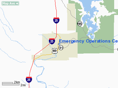
Emergency Operations Center Heliport |
Location & QuickFacts
| FAA Information Effective: | 2008-09-25 |
| Airport Identifier: | NM58 |
| Airport Status: | Operational |
| Longitude/Latitude: | 107-14-52.6000W/33-08-23.3000N
-107.247944/33.139806 (Estimated) |
| Elevation: | 4320 ft / 1316.74 m (Estimated) |
| Land: | 0 acres |
| From nearest city: | 0 nautical miles S of Truth Or Consequences, NM |
| Location: | Sierra County, NM |
| Magnetic Variation: | 11E (1995) |
Owner & Manager
| Ownership: | Privately owned |
| Owner: | T Or C Volunteer Fire Dept |
| Address: | 505 Sims St
Truth Or Consequence, NM 87901 |
| Phone number: | 505-894-6675 |
| Manager: | Evelyn Renfro |
| Address: | 505 Sims St
Truth Or Consequence, NM 87901 |
| Phone number: | 505-894-7111 |
Airport Operations and Facilities
| Airport Use: | Private |
| Segmented Circle: | No |
| Control Tower: | No |
| Sectional chart: | Albuquerque |
| Region: | ASW - Southwest |
| Boundary ARTCC: | ZAB - Albuquerque |
| Tie-in FSS: | ABQ - Albuquerque |
| FSS on Airport: | No |
| FSS Toll Free: | 1-800-WX-BRIEF |
Runway Information
Helipad H1
| Dimension: | 20 x 20 ft / 6.1 x 6.1 m |
| Surface: | CONC, |
| |
Runway H1 |
Runway |
| Traffic Pattern: | Left | Left |
|
Radio Navigation Aids
| ID |
Type |
Name |
Ch |
Freq |
Var |
Dist |
| TCS | VORTAC | Truth Or Consequences | 074X | 112.70 | 13E | 8.7 nm |
Images and information placed above are from
http://www.airport-data.com/airport/NM58/
We thank them for the data!
| General Info
|
| Country |
United States
|
| State |
NEW MEXICO
|
| FAA ID |
NM58
|
| Latitude |
33-08-23.300N
|
| Longitude |
107-14-52.600W
|
| Elevation |
4320 feet
|
| Near City |
TRUTH OR CONSEQUENCES
|
We don't guarantee the information is fresh and accurate. The data may
be wrong or outdated.
For more up-to-date information please refer to other sources.
|
|


