 |
|
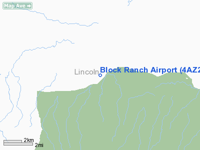
Location & QuickFacts
| FAA Information Effective: | 2008-09-25 |
| Airport Identifier: | 4AZ2 |
| Airport Status: | Operational |
| Longitude/Latitude: | 105-23-01.9440W/33-42-07.2940N
-105.383873/33.702026 (Estimated) |
| Elevation: | 5966 ft / 1818.44 m (Estimated) |
| Land: | 0 acres |
| From nearest city: | 13 nautical miles NE of Capitan, NM |
| Location: | Lincoln County, NM |
| Magnetic Variation: | 10E (1990) |
Owner & Manager
| Ownership: | Privately owned |
| Owner: | R.a. Canning |
| Address: | Box 727
Capitan, NM 88316 |
| Phone number: | 505-354-2385 |
| Manager: | R.a. Canning |
| Address: | Box 727
Capitan, NM 88316 |
| Phone number: | 505-354-2385 |
Airport Operations and Facilities
| Airport Use: | Private |
| Wind indicator: | Yes |
| Segmented Circle: | No |
| Control Tower: | No |
| Lighting Schedule: | RDO-CTL
ACTVT LIRL RY 08/26 - 122.8. |
| Sectional chart: | El Paso |
| Region: | ASW - Southwest |
| Boundary ARTCC: | ZAB - Albuquerque |
| Tie-in FSS: | ABQ - Albuquerque |
| FSS on Airport: | No |
| FSS Toll Free: | 1-800-WX-BRIEF |
Runway Information
Runway 08/26
| Dimension: | 3500 x 50 ft / 1066.8 x 15.2 m |
| Surface: | GRVL, |
| Edge Lights: | Non-standard lighting system
NSTD LIRL ON SOUTH SIDE OF RY ONLY. |
| |
Runway 08 |
Runway 26 |
| Traffic Pattern: | Left | Left |
|
Radio Navigation Aids
| ID |
Type |
Name |
Ch |
Freq |
Var |
Dist |
| CEP | NDB | Capitan | | 278.00 | 10E | 12.8 nm |
| CNX | VORTAC | Corona | 102X | 115.50 | 13E | 42.6 nm |
| CME | VORTAC | Chisum | 108X | 116.10 | 12E | 44.1 nm |
Images and information placed above are from
http://www.airport-data.com/airport/4AZ2/
We thank them for the data!
| General Info
|
| Country |
United States
|
| State |
NEW MEXICO
|
| FAA ID |
4AZ2
|
| Latitude |
33-42-07.294N
|
| Longitude |
105-23-01.944W
|
| Elevation |
5966 feet
|
| Near City |
CAPITAN
|
We don't guarantee the information is fresh and accurate. The data may
be wrong or outdated.
For more up-to-date information please refer to other sources.
|
|


