 |
|
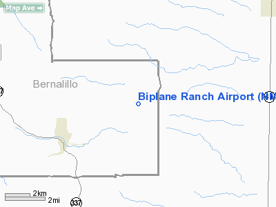
Location & QuickFacts
| FAA Information Effective: | 2008-09-25 |
| Airport Identifier: | NM02 |
| Airport Status: | Operational |
| Longitude/Latitude: | 106-10-02.0840W/34-55-20.1860N
-106.167246/34.922274 (Estimated) |
| Elevation: | 6500 ft / 1981.20 m (Estimated) |
| Land: | 0 acres |
| From nearest city: | 5 nautical miles NE of Chilili, NM |
| Location: | Torrance County, NM |
| Magnetic Variation: | 11E (1990) |
Owner & Manager
| Ownership: | Privately owned |
| Owner: | Ken Humphreys |
| Address: | Po Box 1546
Moriaty, NM 87035 |
| Phone number: | 505-264-1944 |
| Manager: | Ken Humphreys |
| Address: | Po Box 1546
Moriaty, NM 87035 |
| Phone number: | 505-264-1944 |
Airport Operations and Facilities
| Airport Use: | Private |
| Wind indicator: | Yes |
| Segmented Circle: | No |
| Control Tower: | No |
| Sectional chart: | Albuquerque |
| Region: | ASW - Southwest |
| Boundary ARTCC: | ZAB - Albuquerque |
| Tie-in FSS: | ABQ - Albuquerque |
| FSS on Airport: | No |
| FSS Toll Free: | 1-800-WX-BRIEF |
Runway Information
Runway 09/27
| Dimension: | 2200 x 50 ft / 670.6 x 15.2 m |
| Surface: | TURF,
ROUGH; STEEP SLOPE DOWNWARD TO WEST. |
| |
Runway 09 |
Runway 27 |
| Traffic Pattern: | Left | Left |
| Obstruction: | 10 ft trees, 10.0 ft from runway | 10 ft trees, 10.0 ft from runway |
|
Radio Navigation Aids
| ID |
Type |
Name |
Ch |
Freq |
Var |
Dist |
| ILT | NDB | Isleta | | 247.00 | 11E | 22.7 nm |
| OTO | VOR | Otto | | 114.00 | 13E | 14.5 nm |
| ABQ | VORTAC | Albuquerque | 079X | 113.20 | 13E | 32.8 nm |
| SAF | VORTAC | Santa Fe | 043X | 110.60 | 13E | 37.5 nm |
| CNX | VORTAC | Corona | 102X | 115.50 | 13E | 41.2 nm |
| ONM | VORTAC | Socorro | 115X | 116.80 | 13E | 47.7 nm |
| ABQ | VOT | Albuquerque Intl | | 111.00 | | 22.8 nm |
Remarks
- HORSES & CATTLE ON & INVOF OF RY 09/27.
Images and information placed above are from
http://www.airport-data.com/airport/NM02/
We thank them for the data!
| General Info
|
| Country |
United States
|
| State |
NEW MEXICO
|
| FAA ID |
NM02
|
| Latitude |
34-55-20.186N
|
| Longitude |
106-10-02.084W
|
| Elevation |
6500 feet
|
| Near City |
CHILILI
|
We don't guarantee the information is fresh and accurate. The data may
be wrong or outdated.
For more up-to-date information please refer to other sources.
|
|


