 |
|
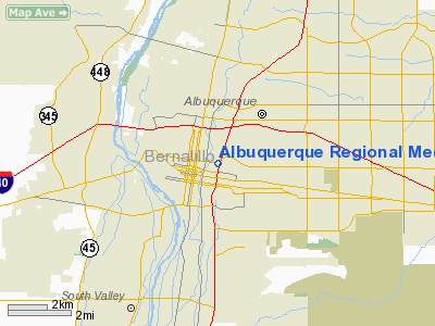
Albuquerque Rgnl Medical Center Heliport |
Location & QuickFacts
| FAA Information Effective: | 2008-09-25 |
| Airport Identifier: | NM00 |
| Airport Status: | Operational |
| Longitude/Latitude: | 106-38-10.5900W/35-05-21.6600N
-106.636275/35.089350 (Estimated) |
| Elevation: | 5037 ft / 1535.28 m (Estimated) |
| Land: | 0 acres |
| From nearest city: | 3 nautical miles W of Albuquerque, NM |
| Location: | Bernalillo County, NM |
| Magnetic Variation: | 11E (1995) |
Owner & Manager
| Ownership: | Privately owned |
| Owner: | Albuquerque Rgnl Medical Center Llc |
| Address: | 601 Dr. Martin Luther King Jr Ave, Ne
Albuquerque, NM 87125 |
| Phone number: | 505-727-8000 |
| Manager: | Randy Bennett |
| Address: | 601 Dr. Martin Luther King Jr Ave, Ne
Albuquerque, NM 87125 |
| Phone number: | 505-727-8864 |
Airport Operations and Facilities
| Airport Use: | Private
MEDICAL. |
| Segmented Circle: | No |
| Control Tower: | No |
| Lighting Schedule: | PHONE REQ
FOR PERIMETER LGTS CALL 505-727-3093. |
| Sectional chart: | Albuquerque |
| Region: | ASW - Southwest |
| Boundary ARTCC: | ZAB - Albuquerque |
| Tie-in FSS: | ABQ - Albuquerque |
| FSS Toll Free: | 1-800-WX-BRIEF |
Runway Information
Helipad H1
| Dimension: | 40 x 40 ft / 12.2 x 12.2 m |
| Surface: | CONC, |
| |
Runway H1 |
Runway |
| Traffic Pattern: | Left | Left |
|
Radio Navigation Aids
| ID |
Type |
Name |
Ch |
Freq |
Var |
Dist |
| ILT | NDB | Isleta | | 247.00 | 11E | 6.2 nm |
| OTO | VOR | Otto | | 114.00 | 13E | 34.5 nm |
| ABQ | VORTAC | Albuquerque | 079X | 113.20 | 13E | 9.3 nm |
| SAF | VORTAC | Santa Fe | 043X | 110.60 | 13E | 39.0 nm |
| ONM | VORTAC | Socorro | 115X | 116.80 | 13E | 46.0 nm |
| ABQ | VOT | Albuquerque Intl | | 111.00 | | 3.2 nm |
Remarks
- PRVDD HELIPAD INGRESS/EGRESS PROCEDURES COORDINATED WITH ABQ INTL ATCT.
Images and information placed above are from
http://www.airport-data.com/airport/NM00/
We thank them for the data!
| General Info
|
| Country |
United States
|
| State |
NEW MEXICO
|
| FAA ID |
NM00
|
| Latitude |
35-05-21.660N
|
| Longitude |
106-38-10.590W
|
| Elevation |
5037 feet
|
| Near City |
ALBUQUERQUE
|
We don't guarantee the information is fresh and accurate. The data may
be wrong or outdated.
For more up-to-date information please refer to other sources.
|
|


