 |
|
Location & QuickFacts
| FAA Information Effective: | 2008-09-25 |
| Airport Identifier: | NM73 |
| Airport Status: | Operational |
| Longitude/Latitude: | 103-51-21.8790W/34-46-20.2300N
-103.856077/34.772286 (Estimated) |
| Elevation: | 4858 ft / 1480.72 m (Surveyed) |
| Land: | 480 acres |
| From nearest city: | 6 nautical miles NW of Mc Alister, NM |
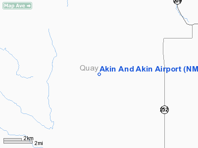
| Location: | Quay County, NM |
| Magnetic Variation: | 10E (1985) |
Owner & Manager
| Ownership: | Privately owned |
| Owner: | Akin & Akin Inc |
| Address: | 4735-b Quay Road 36
Mc Alister, NM 88427 |
| Phone number: | 505-458-6491 |
| Manager: | Jack Akin |
| Address: | 4735-b Quay Road 36
Mc Alister, NM 88427 |
| Phone number: | 505-458-6491 |
Airport Operations and Facilities
| Airport Use: | Private |
| Wind indicator: | Yes |
| Segmented Circle: | No |
| Control Tower: | No |
| Landing fee charge: | No |
| Sectional chart: | Albuquerque |
| Region: | ASW - Southwest |
| Boundary ARTCC: | ZAB - Albuquerque |
| Tie-in FSS: | ABQ - Albuquerque |
| FSS on Airport: | No |
| FSS Toll Free: | 1-800-WX-BRIEF |
Airport Services
| Airframe Repair: | NONE |
| Power Plant Repair: | NONE |
Runway Information
Runway 05/23
| Dimension: | 2640 x 30 ft / 804.7 x 9.1 m |
| Surface: | TURF, Poor Condition |
| |
Runway 05 |
Runway 23 |
| Traffic Pattern: | Left | Left |
| Obstruction: | , 50:1 slope to clear | 4 ft fence, 40.0 ft from runway, 30 ft right of centerline, 10:1 slope to clear |
|
Runway 09/27
| Dimension: | 2600 x 30 ft / 792.5 x 9.1 m |
| Surface: | TURF, Poor Condition |
| |
Runway 09 |
Runway 27 |
| Traffic Pattern: | Left | Left |
| Obstruction: | , 50:1 slope to clear | 4 ft fence, 0.0 ft from runway, 50 ft right of centerline |
|
Runway 18/36
| Dimension: | 2600 x 30 ft / 792.5 x 9.1 m |
| Surface: | TURF, Poor Condition |
| |
Runway 18 |
Runway 36 |
| Traffic Pattern: | Left | Left |
| Obstruction: | 4 ft fence, 50.0 ft from runway, 12:1 slope to clear | , 50:1 slope to clear |
|
Radio Navigation Aids
| ID |
Type |
Name |
Ch |
Freq |
Var |
Dist |
| PRZ | NDB | Portales | | 407.00 | 09E | 43.5 nm |
| CVS | TACAN | Cannon | 053X | | 10E | 35.4 nm |
| TCC | VORTAC | Tucumcari | 083X | 113.60 | 12E | 27.7 nm |
Remarks
- RY EDGES INDEFINITE; RYS 05/23 & 09/27 ROUGH; RY 18/36 EXTENSIVE RUTTING & ROUGH.
- LIVESTOCK ON RYS.
Images and information placed above are from
http://www.airport-data.com/airport/NM73/
We thank them for the data!
| General Info
|
| Country |
United States
|
| State |
NEW MEXICO
|
| FAA ID |
NM73
|
| Latitude |
34-46-20.230N
|
| Longitude |
103-51-21.879W
|
| Elevation |
4858 feet
|
| Near City |
MC ALISTER
|
We don't guarantee the information is fresh and accurate. The data may
be wrong or outdated.
For more up-to-date information please refer to other sources.
|
|


