|
|
Coordinates: 40°58′00.352″N 074°46′48.596″W / 40.96676444°N 74.78016556°W / 40.96676444; -74.78016556
| Trinca Airport |
| IATA: none – ICAO: none – FAA LID: 13N |
| Summary |
| Airport type |
Public use |
| Owner |
Green Township, New Jersey |
| Operator |
John Tremper |
| Serves |
Andover, New Jersey |
| Location |
Green Township, New Jersey |
| Elevation AMSL |
600 ft / 183 m |
| Runways |
| Direction |
Length |
Surface |
| ft |
m |
| 6/24 |
1,924 |
586 |
Turf |
| Statistics (2008) |
| Aircraft operations |
11,395 |
| Based aircraft |
6 |
| Source: Federal Aviation Administration |
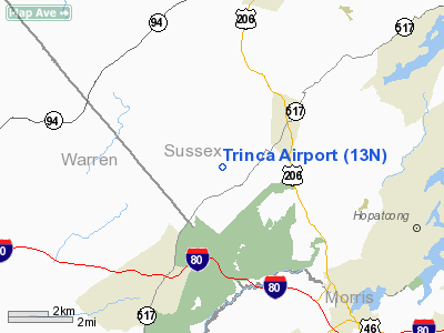
Trinca Airport (FAA LID: 13N) is a public-use airport located three nautical miles (5.556 km) southwest of Andover in Sussex County, New Jersey, United States. The airport is publicly owned.
The above content comes from Wikipedia and is published under free licenses – click here to read more.
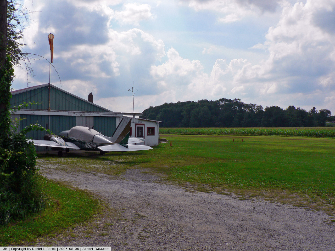
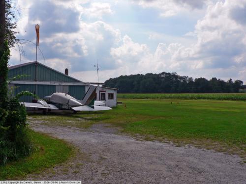 |
(Click on the photo to enlarge) |
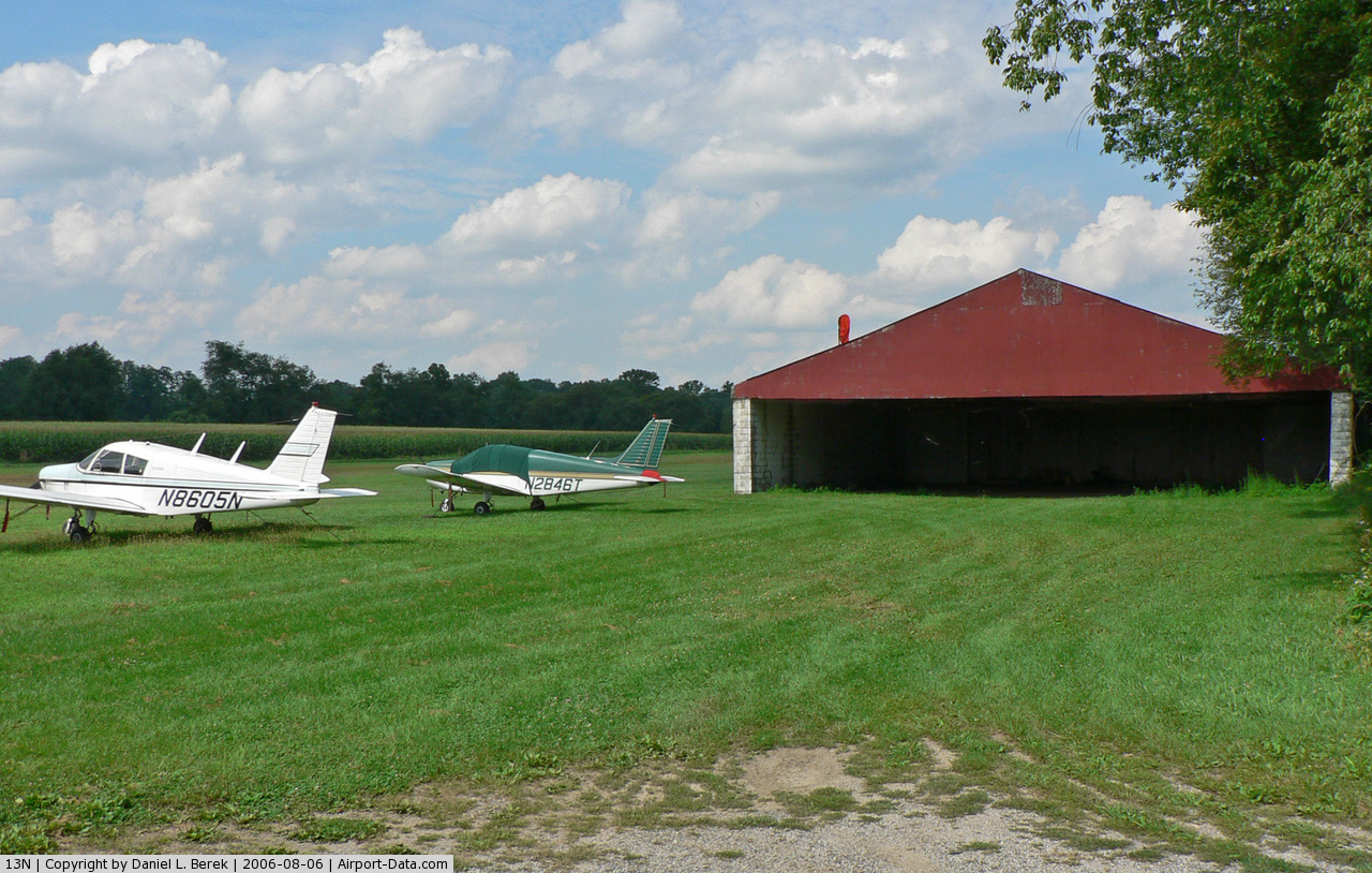
 |
(Click on the photo to enlarge) |
Location & QuickFacts
| FAA Information Effective: | 2008-09-25 |
| Airport Identifier: | 13N |
| Airport Status: | Operational |
| Longitude/Latitude: | 074-46-48.5960W/40-58-00.3520N
-74.780166/40.966764 (Estimated) |
| Elevation: | 600 ft / 182.88 m (Estimated) |
| Land: | 12 acres |
| From nearest city: | 3 nautical miles SW of Andover, NJ |
| Location: | Sussex County, NJ |
| Magnetic Variation: | 12W (1985) |
Owner & Manager
| Ownership: | Publicly owned |
| Owner: | Green Township |
| Address: | 150 Kennedy Rd, Po Box 65
Tranquility, NJ 07879 |
| Phone number: | 908-852-9333 |
| Manager: | Clifford Morgan |
| Address: | 91 Yellow Frame Road
Newton, NJ 07860 |
| Phone number: | 973-579-4844 |
Airport Operations and Facilities
| Airport Use: | Open to public |
| Wind indicator: | Yes |
| Segmented Circle: | No |
| Control Tower: | No |
| Landing fee charge: | No |
| Sectional chart: | New York |
| Region: | AEA - Eastern |
| Boundary ARTCC: | ZNY - New York |
| Tie-in FSS: | MIV - Millville |
| FSS on Airport: | No |
| FSS Toll Free: | 1-800-WX-BRIEF |
| NOTAMs Facility: | MIV (NOTAM-d service avaliable) |
| Federal Agreements: | N |
Airport Communications
| CTAF: | 122.800 |
| Unicom: | 122.800 |
Airport Services
| Airframe Repair: | MINOR |
| Power Plant Repair: | MINOR |
| Bottled Oxygen: | NONE |
| Bulk Oxygen: | NONE |
Runway Information
Runway 06/24
| Dimension: | 1924 x 135 ft / 586.4 x 41.1 m |
| Surface: | TURF, Good Condition |
| |
Runway 06 |
Runway 24 |
| Traffic Pattern: | Left | Left |
| Obstruction: | 65 ft trees, 1078.0 ft from runway, 56 ft right of centerline, 16:1 slope to clear | 104 ft trees, 1103.0 ft from runway, 201 ft right of centerline, 10:1 slope to clear |
|
Radio Navigation Aids
| ID |
Type |
Name |
Ch |
Freq |
Var |
Dist |
| EWR | FAN MARKER | Maryann | | | 11W | 31.3 nm |
| SKU | FAN MARKER | Stanwyck | | | 12W | 47.3 nm |
| CAT | NDB | Chatham | | 254.00 | 11W | 20.9 nm |
| PNJ | NDB | Paterson | | 347.00 | 12W | 28.6 nm |
| SW | NDB | Neely | | 335.00 | 14W | 40.0 nm |
| UKT | NDB | Quakertown | | 208.00 | 12W | 40.2 nm |
| DYL | NDB | Doylestown | | 237.00 | 10W | 41.0 nm |
| LQX | NDB | Carbon | | 339.00 | 12W | 45.4 nm |
| SKU | NDB | Stanwyck | | 261.00 | 12W | 47.3 nm |
| OGY | NDB | Bridge | | 414.00 | 12W | 47.4 nm |
| MS | NDB | Monga | | 359.00 | 12W | 48.2 nm |
| NXX | NDB | Willow Grove | | 388.00 | 12W | 49.6 nm |
| CYE | NDB | Crystal Lake | | 410.00 | 11W | 49.8 nm |
| NXX | TACAN | Willow Grove | 061X | | 10W | 49.3 nm |
| STW | VOR/DME | Stillwater | 033X | 109.60 | 11W | 4.4 nm |
| BWZ | VOR/DME | Broadway | 089X | 114.20 | 11W | 10.3 nm |
| SBJ | VOR/DME | Solberg | 076X | 112.90 | 10W | 23.1 nm |
| HUO | VOR/DME | Huguenot | 108X | 116.10 | 11W | 28.0 nm |
| TEB | VOR/DME | Teterboro | 021X | 108.40 | 11W | 33.4 nm |
| CKZ | VOR/DME | Pennridge | 025Y | 108.85 | 12W | 41.7 nm |
| LGA | VOR/DME | La Guardia | 078X | 113.10 | 12W | 42.4 nm |
| ARD | VOR/DME | Yardley | 019X | 108.20 | 10W | 43.3 nm |
| CRI | VOR/DME | Canarsie | 070X | 112.30 | 11W | 45.6 nm |
| ETX | VOR/DME | East Texas | 039X | 110.20 | 09W | 47.2 nm |
| COL | VOR/DME | Colts Neck | 101X | 115.40 | 11W | 48.5 nm |
| SAX | VORTAC | Sparta | 104X | 115.70 | 11W | 12.5 nm |
| FJC | VORTAC | Allentown | 122X | 117.50 | 10W | 33.9 nm |
| LHY | VORTAC | Lake Henry | 045X | 110.80 | 10W | 44.1 nm |
| LVZ | VORTAC | Wilkes-barre | 053X | 111.60 | 10W | 45.1 nm |
| RBV | VORTAC | Robbinsville | 085X | 113.80 | 10W | 47.8 nm |
| JFK | VOT | Kennedy | | 115.10 | | 49.7 nm |
Remarks
- ARPT CLSD SS-SR.
- BUILT BEFORE 1959
Images and information placed above are from
http://www.airport-data.com/airport/13N/
We thank them for the data!
| General Info
|
| Country |
United States
|
| State |
NEW JERSEY
|
| FAA ID |
13N
|
| Latitude |
40-58-00.352N
|
| Longitude |
074-46-48.596W
|
| Elevation |
600 feet
|
| Near City |
ANDOVER
|
We don't guarantee the information is fresh and accurate. The data may
be wrong or outdated.
For more up-to-date information please refer to other sources.
|
|