|
|
South Jersey Rgnl Airport |
| South Jersey Regional Airport |
| IATA: LLY – ICAO: KVAY – FAA LID: VAY |
| Summary |
| Airport type |
Public |
| Operator |
New Jersey Department of Transportation |
| Location |
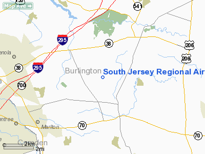
Mount Holly, New Jersey |
| Elevation AMSL |
53 ft / 16.2 m |
| Coordinates |
39°56′34″N 074°50′45″W / 39.94278°N 74.84583°W / 39.94278; -74.84583Coordinates: 39°56′34″N 074°50′45″W / 39.94278°N 74.84583°W / 39.94278; -74.84583 |
| Runways |
| Direction |
Length |
Surface |
| ft |
m |
| 8/26 |
3,911 |
1,192 |
Asphalt |
South Jersey Regional Airport (IATA: LLY, ICAO: KVAY, FAA LID: VAY) is a public airport located four miles (6 km) southwest of the central business district of Mount Holly, a township in Burlington County, New Jersey, United States. This general aviation airport is publicly owned by the New Jersey Department of Transportation. It covers 642 acres (260 ha) and has one runway.
Although most U.S. airports use the same three-letter location identifier for the FAA and IATA, South Jersey Regional is assigned VAY by the FAA and LLY by the IATA. The airport's ICAO identifier is KVAY.
The above content comes from Wikipedia and is published under free licenses – click here to read more.
 |
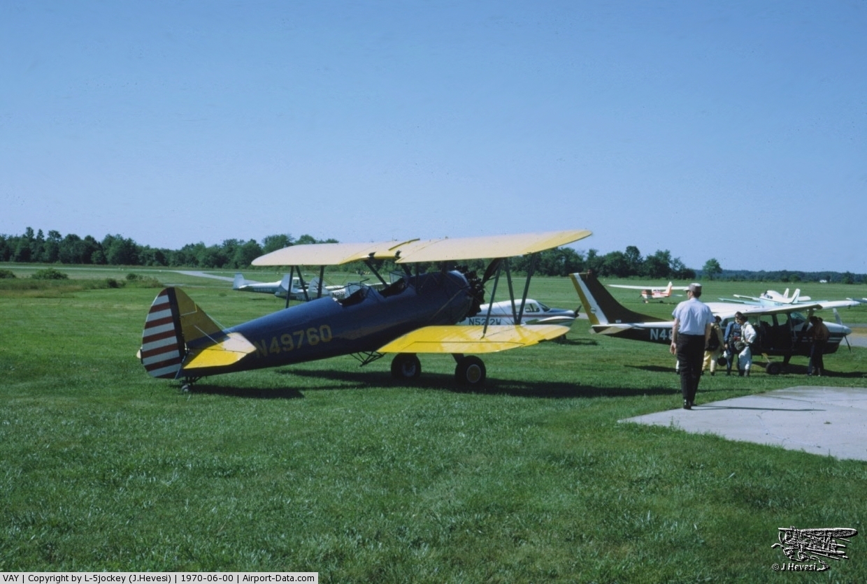
(Click on the photo to enlarge) |
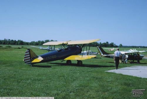 |
(Click on the photo to enlarge) |
Location & QuickFacts
| FAA Information Effective: | 2008-09-25 |
| Airport Identifier: | VAY |
| Airport Status: | Operational |
| Longitude/Latitude: | 074-50-44.5900W/39-56-34.4060N
-74.845719/39.942891 (Estimated) |
| Elevation: | 53 ft / 16.15 m (Estimated) |
| Land: | 642 acres |
| From nearest city: | 4 nautical miles SW of Mount Holly, NJ |
| Location: | Burlington County, NJ |
| Magnetic Variation: | 12W (2005) |
Owner & Manager
| Ownership: | Publicly owned |
| Owner: | N.j. Dept. Of Transportation |
| Address: | 1035 Parkway Ave., P.o. Box 610
Trenton, NJ 08625 |
| Phone number: | 609-530-2900 |
| Manager: | Tim Wagner |
| Address: | 68 Stacy Haines Rd.
Lumberton, NJ 08048 |
| Phone number: | 609-267-3131 |
Airport Operations and Facilities
| Airport Use: | Open to public |
| Wind indicator: | Yes |
| Segmented Circle: | Yes |
| Control Tower: | No |
| Lighting Schedule: | DUSK-DAWN
ACTVT MIRL RY 08/26-123.3. |
| Beacon Color: | Clear-Green (lighted land airport) |
| Landing fee charge: | No |
| Sectional chart: | Washington |
| Region: | AEA - Eastern |
| Traffic Pattern Alt: | 800 ft |
| Boundary ARTCC: | ZDC - Washington |
| Responsible ARTCC: | ZNY - New York |
| Tie-in FSS: | MIV - Millville |
| FSS on Airport: | No |
| FSS Toll Free: | 1-800-WX-BRIEF |
| NOTAMs Facility: | VAY (NOTAM-d service avaliable) |
| Federal Agreements: | NGY |
Airport Communications
| CTAF: | 122.800 |
| Unicom: | 122.800 |
Airport Services
| Fuel available: | 100LLA |
| Airframe Repair: | MAJOR |
| Power Plant Repair: | MAJOR |
| Bottled Oxygen: | NONE |
| Bulk Oxygen: | NONE |
Runway Information
Runway 08/26
| Dimension: | 3911 x 50 ft / 1192.1 x 15.2 m |
| Surface: | ASPH, Good Condition |
| Weight Limit: | Single wheel: 30000 lbs. |
| Edge Lights: | Medium |
| |
Runway 08 |
Runway 26 |
| Longitude: | 074-51-08.1420W | 074-50-21.0060W |
| Latitude: | 39-56-27.7460N | 39-56-41.0650N |
| Elevation: | 45.00 ft | 51.00 ft |
| Alignment: | 70 | 127 |
| Traffic Pattern: | Left | Right |
| Markings: | Basic, Fair Condition | Basic, Fair Condition |
| Crossing Height: | 45.00 ft | 40.00 ft |
| VASI: | 2-light PAPI on right side | 2-light PAPI on right side |
| Visual Glide Angle: | 3.25° | 3.00° |
| Runway End Identifier: | No | No |
| Obstruction: | 54 ft tree, 550.0 ft from runway, 170 ft right of centerline, 6:1 slope to clear
RY 08 +14 FT TREES 75 FT FM THLD 160 FT L. | 45 ft tree, 909.0 ft from runway, 99 ft left of centerline, 15:1 slope to clear |
|
Radio Navigation Aids
| ID |
Type |
Name |
Ch |
Freq |
Var |
Dist |
| NXX | NDB | Willow Grove | | 388.00 | 12W | 20.2 nm |
| ING | NDB | Ambler | | 275.00 | 11W | 23.0 nm |
| NEL | NDB | Lakehurst | | 396.00 | 13W | 24.3 nm |
| DYL | NDB | Doylestown | | 237.00 | 10W | 26.8 nm |
| RNB | NDB | Rainbow | | 363.00 | 11W | 34.3 nm |
| UKT | NDB | Quakertown | | 208.00 | 12W | 35.6 nm |
| NXX | TACAN | Willow Grove | 061X | | 10W | 20.5 nm |
| NEL | TACAN | Lakehurst | 055X | | 11W | 23.4 nm |
| NEL | UHF/NDB | Lakehurst | | 274.80 | 13W | 24.3 nm |
| PNE | VOR | North Philadelphia | | 112.00 | 10W | 11.3 nm |
| ARD | VOR/DME | Yardley | 019X | 108.20 | 10W | 18.9 nm |
| CKZ | VOR/DME | Pennridge | 025Y | 108.85 | 12W | 33.8 nm |
| COL | VOR/DME | Colts Neck | 101X | 115.40 | 11W | 38.5 nm |
| SBJ | VOR/DME | Solberg | 076X | 112.90 | 10W | 38.8 nm |
| GXU | VORTAC | Mc Guire | 043X | 110.60 | 11W | 12.2 nm |
| CYN | VORTAC | Coyle | 081X | 113.40 | 10W | 20.5 nm |
| RBV | VORTAC | Robbinsville | 085X | 113.80 | 10W | 22.4 nm |
| VCN | VORTAC | Cedar Lake | 099X | 115.20 | 10W | 25.0 nm |
| OOD | VORTAC | Woodstown | 075X | 112.80 | 10W | 28.0 nm |
| ACY | VORTAC | Atlantic City | 023X | 108.60 | 10W | 31.8 nm |
| PTW | VORTAC | Pottstown | 112X | 116.50 | 09W | 36.9 nm |
| MXE | VORTAC | Modena | 079X | 113.20 | 09W | 38.1 nm |
| DQO | VORTAC | Dupont | 087X | 114.00 | 10W | 38.6 nm |
| PHL | VOT | Philadelphia Intl | | 109.80 | | 18.9 nm |
Remarks
- TREES ALONG SIDES OF RY PRIMARILY NW.
- BALLS MKG PLINES ON APH TO RY 08 FADED.
- DEER ON & INVOF ARPT.
- HELICOPTER TAKEOFFS AND LANDINGS RESTRICTED TO RY 08/26 ONLY.
- STANDING WATER ON RY DURING AND AFTER HEAVY RAIN ESPECIALLY WEST END.
- GCO AVBL ON FREQ 121.725 THRU NYAI FSS.
Images and information placed above are from
http://www.airport-data.com/airport/VAY/
We thank them for the data!
| General Info
|
| Country |
United States
|
| State |
NEW JERSEY
|
| FAA ID |
VAY
|
| Latitude |
39-56-34.406N
|
| Longitude |
074-50-44.590W
|
| Elevation |
53 feet
|
| Near City |
MOUNT HOLLY
|
We don't guarantee the information is fresh and accurate. The data may
be wrong or outdated.
For more up-to-date information please refer to other sources.
|
|