|
|
Monmouth Executive Airport |
| Monmouth Executive Airport |
| IATA: BLM – ICAO: KBLM – FAA LID: BLM |
| Summary |
| Airport type |
Public |
| Owner |
Wall Herald Corp. |
| Serves |
Monmouth County |
| Location |
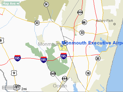
Belmar / Farmingdale, New Jersey |
| Elevation AMSL |
159 ft / 48 m |
| Coordinates |
40°11′13″N 074°07′30″W / 40.18694°N 74.125°W / 40.18694; -74.125 |
| Runways |
| Direction |
Length |
Surface |
| ft |
m |
| 3/21 |
3,707 |
1,130 |
Asphalt |
| 14/32 |
7,300 |
2,225 |
Asphalt |
| Statistics (2005) |
| Aircraft operations |
57,229 |
| Based aircraft |
213 |
| Source: Federal Aviation Administration |
Monmouth Executive Airport (IATA: BLM, ICAO: KBLM, FAA LID: BLM) is a public-use airport located in Monmouth County, New Jersey, United States. The airport is five miles (8 km) west of the central business district of Belmar and east of Farmingdale. It is privately owned by the Brown family, and was formerly known as Allaire Airport. Facilities and aircraft
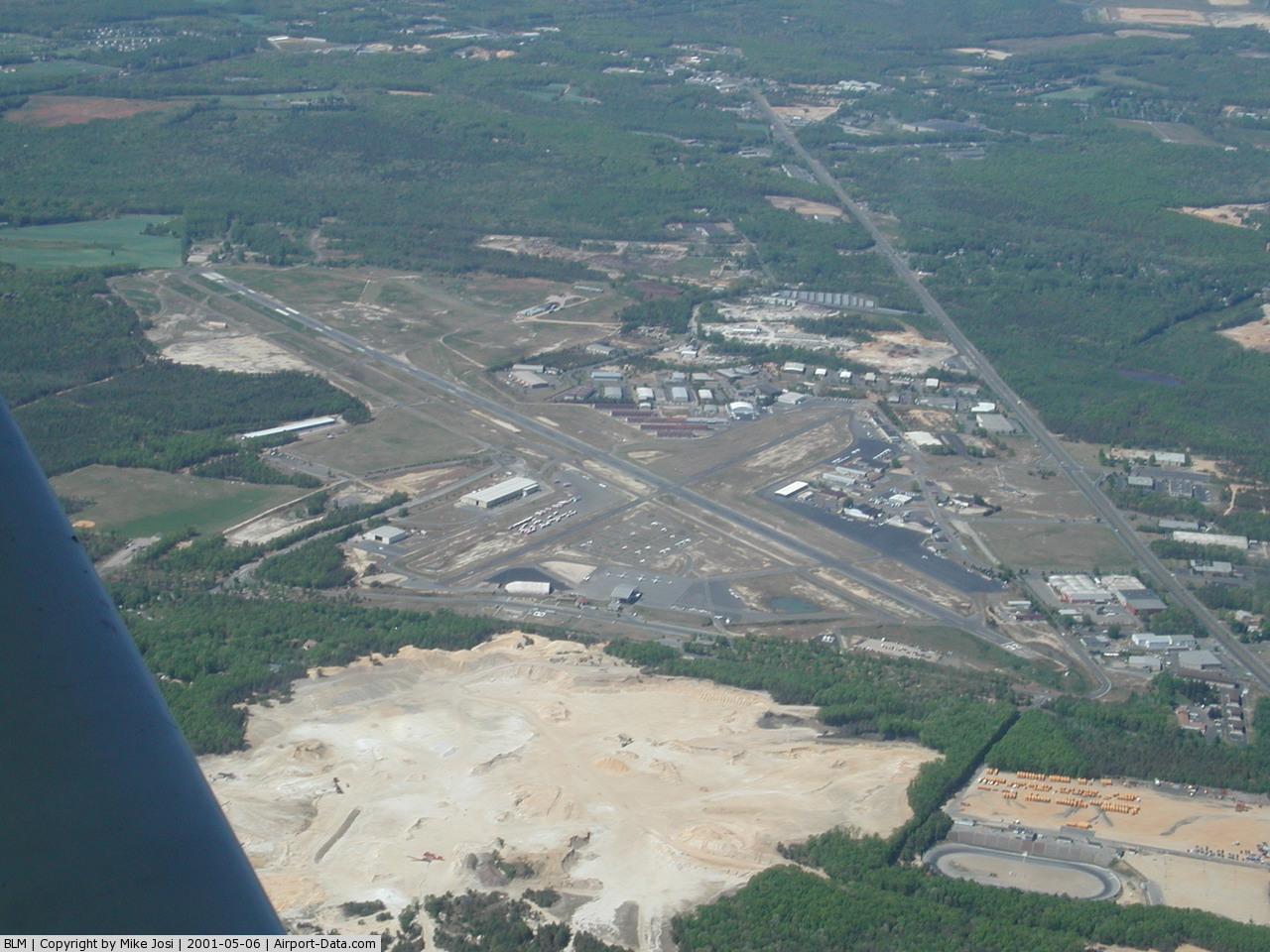
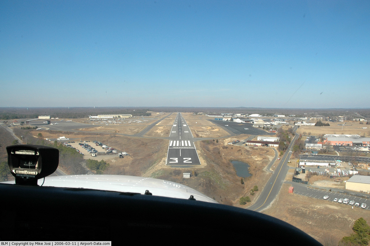
Monmouth Executive Airport covers an area of 850 acres (344 ha) which contains three asphalt paved runways: 3/21 measuring 3,707 × 50 ft. (1,130 × 15 m) and 14/32 measuring 7,300 × 80 ft. (2,225 × 24 m).
For the 12-month period ending December 31, 2005, the airport had 57,229 aircraft operations, an average of 156 per day: 83% general aviation and 17% air taxi. There are 213 aircraft based at this airport: 84% single engine, 9% multi-engine, 4% jet aircraft and 3% helicopters.
Incidents and accidents
On February 15, 2010, a small aircraft, identified as a Cessna 337, crashed on approach to the airport, killing all five people onboard. Witnesses said the plane broke apart after aborting a landing.
The above content comes from Wikipedia and is published under free licenses – click here to read more.
 |
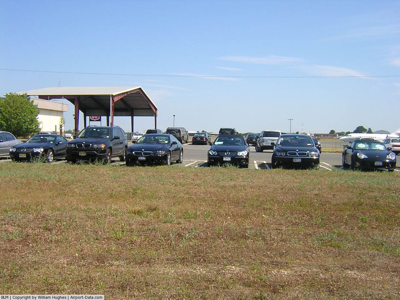
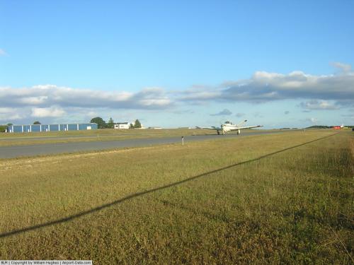
(Click on the photo to enlarge) |
 |
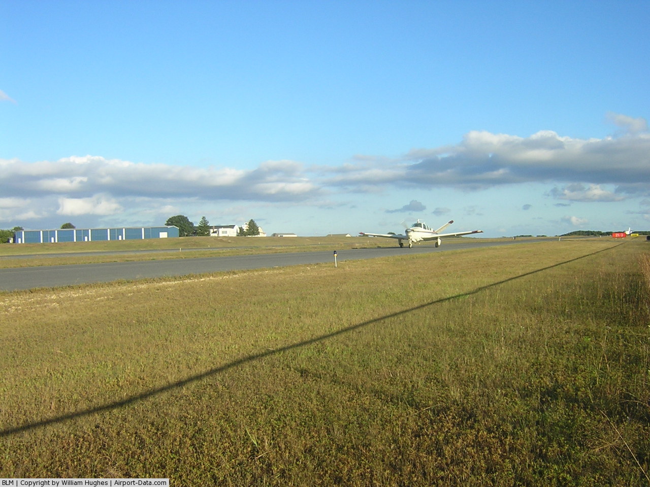
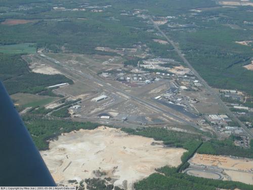
(Click on the photo to enlarge) |
 |
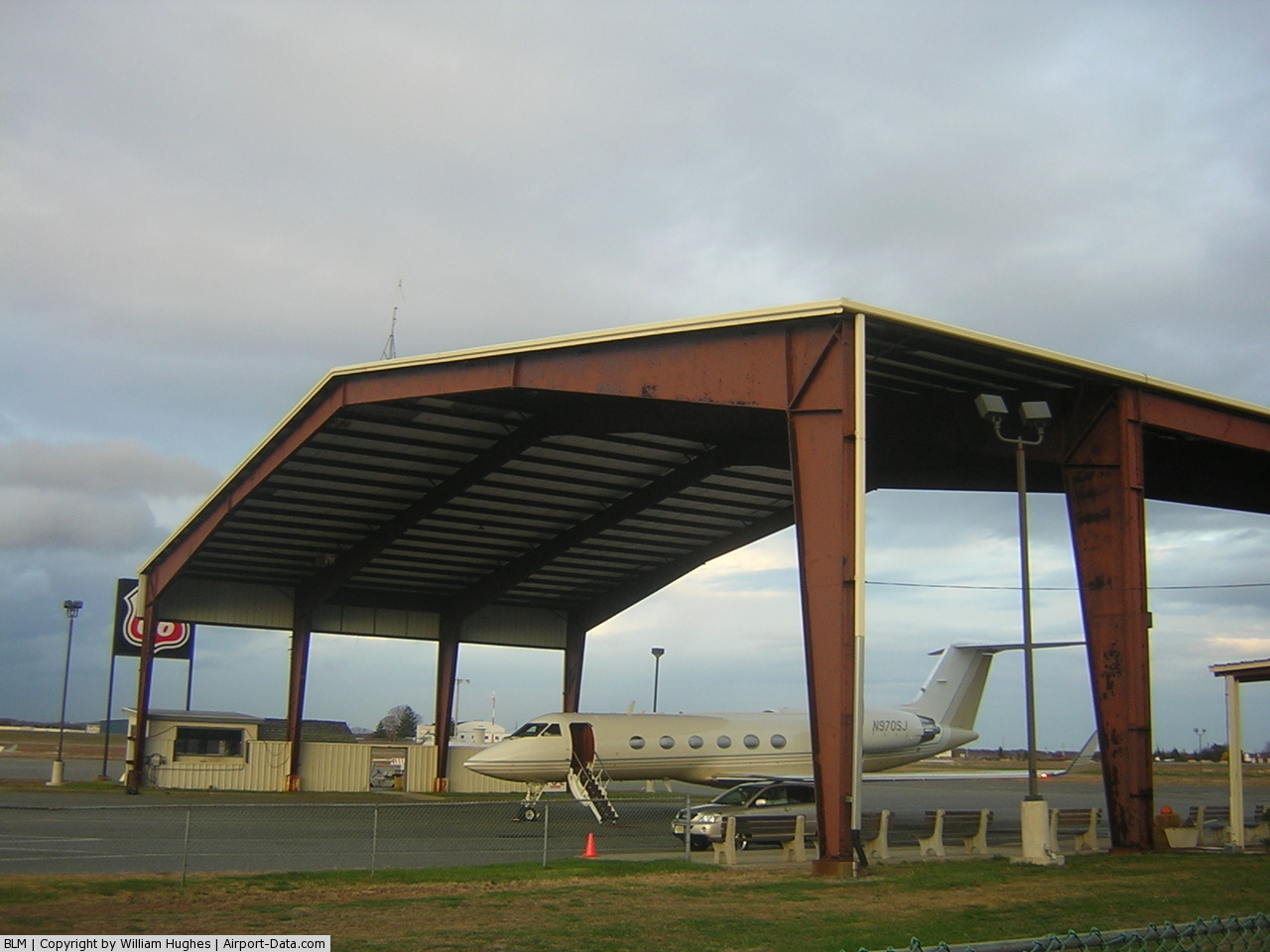
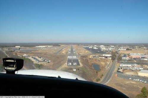
(Click on the photo to enlarge) |
 |
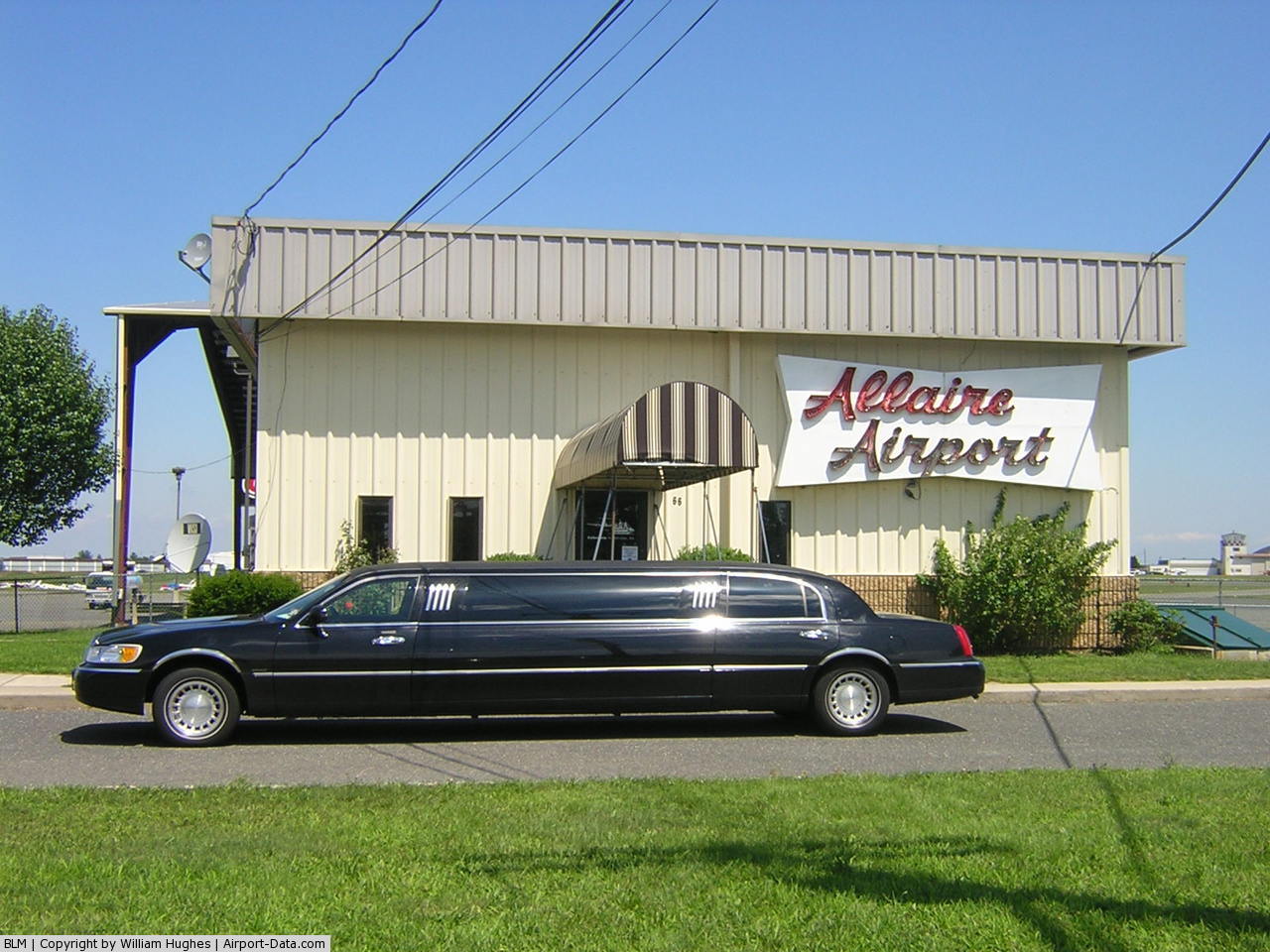
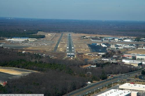
(Click on the photo to enlarge) |
 |
(Click on the photo to enlarge) |
 |
(Click on the photo to enlarge) |
 |
(Click on the photo to enlarge) |
Location & QuickFacts
| FAA Information Effective: | 2008-09-25 |
| Airport Identifier: | BLM |
| Airport Status: | Operational |
| Longitude/Latitude: | 074-07-29.5930W/40-11-12.9050N
-74.124887/40.186918 (Estimated) |
| Elevation: | 159 ft / 48.46 m (Surveyed) |
| Land: | 850 acres |
| From nearest city: | 5 nautical miles W of Belmar/farmingdale, NJ |
| Location: | Monmouth County, NJ |
| Magnetic Variation: | 12W (1985) |
Owner & Manager
| Ownership: | Privately owned |
| Owner: | Wall Herald Corp. |
| Address: | Po Box 2535
Farmingdale, NJ 07727 |
| Phone number: | 732-938-4800 |
| Manager: | Barbara Mcauley |
| Address: | Po Box 2535
Farmingdale, NJ 07727 |
| Phone number: | 732-938-4800 |
Airport Operations and Facilities
| Airport Use: | Open to public |
| Wind indicator: | Yes |
| Segmented Circle: | No |
| Control Tower: | No |
| Lighting Schedule: | DUSK-2300
ROTG BCN OPER DUSK-2300. TO PREARRANGE FOR BCN AFT 2300 CALL 732-751-0044. |
| Beacon Color: | Clear-Green (lighted land airport) |
| Landing fee charge: | Yes |
| Sectional chart: | New York |
| Region: | AEA - Eastern |
| Traffic Pattern Alt: | 841 ft |
| Boundary ARTCC: | ZNY - New York |
| Tie-in FSS: | MIV - Millville |
| FSS on Airport: | No |
| FSS Toll Free: | 1-800-WX-BRIEF |
| NOTAMs Facility: | BLM (NOTAM-d service avaliable) |
| Federal Agreements: | N |
Airport Communications
| CTAF: | 123.000 |
| Unicom: | 123.000 |
Airport Services
| Fuel available: | 100LLA
24 HR SELF SVC 100LL AVBL. |
| Airframe Repair: | MAJOR |
| Power Plant Repair: | MAJOR |
| Bottled Oxygen: | NONE |
| Bulk Oxygen: | NONE |
Runway Information
Runway 03/21
| Dimension: | 3707 x 50 ft / 1129.9 x 15.2 m
RY 14/32 FIRST 575 FT AT AER 32 80 FT WIDE; REMAINDER RY 14/32 100 FT WIDE. |
| Surface: | ASPH, Fair Condition |
| |
Runway 03 |
Runway 21 |
| Longitude: | 074-07-30.2390W | 074-07-12.5680W |
| Latitude: | 40-10-49.2810N | 40-11-23.3130N |
| Elevation: | 150.00 ft | 155.00 ft |
| Alignment: | 22 | 127 |
| Traffic Pattern: | Left | Left |
| Markings: | Basic, Fair Condition | Basic, Fair Condition |
| Obstruction: | 43 ft trees, 473.0 ft from runway, 6:1 slope to clear
+15 FT TREE 138 FT FM RWY END 13 FT R CNTRLN. | 29 ft tree, 210.0 ft from runway, 75 ft right of centerline
RY 21 32 FT POLE/BLDG 60 FT FROM THLD, 70 FT LEFT. |
|
Runway 14/32
| Dimension: | 7300 x 80 ft / 2225.0 x 24.4 m
RY 14/32 FIRST 575 FT AT AER 32 80 FT WIDE; REMAINDER RY 14/32 100 FT WIDE. |
| Surface: | ASPH, Fair Condition |
| Edge Lights: | Non-standard lighting system
RY 14/32 NSTD MIRLS; NO RY 32 THLD LGTS, RYS 14 & 32 REILS NOT CO-LCTD AT RY THLD. |
| |
Runway 14 |
Runway 32 |
| Longitude: | 074-08-08.4400W | 074-06-59.0620W |
| Latitude: | 40-11-40.6160N | 40-10-51.9040N |
| Elevation: | 159.00 ft | 146.00 ft |
| Alignment: | 127 | 127 |
| ILS Type: | LOC/DME
| |
| Traffic Pattern: | Left | Left |
| Markings: | Precision instrument, Good Condition | Nonstandard, Good Condition
RY 32 NSTD PIR; NSTD NRS PLACEMENT BEFORE THLD BAR. RY NRS INCORRECT PLACEMENT BEFORE THLD BAR. |
| VASI: | | pulsating/steady burning on left side |
| Runway End Identifier: | Yes | Yes |
| Obstruction: | 50 ft trees, 240.0 ft from runway, 220 ft left of centerline | 34 ft trees, 759.0 ft from runway, 16:1 slope to clear |
|
Radio Navigation Aids
| ID |
Type |
Name |
Ch |
Freq |
Var |
Dist |
| EWR | FAN MARKER | Maryann | | | 11W | 31.2 nm |
| NEL | NDB | Lakehurst | | 396.00 | 13W | 12.9 nm |
| OGY | NDB | Bridge | | 414.00 | 12W | 25.5 nm |
| CAT | NDB | Chatham | | 254.00 | 11W | 36.1 nm |
| BBN | NDB | Babylon | | 275.00 | 14W | 44.7 nm |
| PNJ | NDB | Paterson | | 347.00 | 12W | 45.7 nm |
| DYL | NDB | Doylestown | | 237.00 | 10W | 46.6 nm |
| NXX | NDB | Willow Grove | | 388.00 | 12W | 46.9 nm |
| NEL | TACAN | Lakehurst | 055X | | 11W | 13.8 nm |
| NXX | TACAN | Willow Grove | 061X | | 10W | 46.9 nm |
| NEL | UHF/NDB | Lakehurst | | 274.80 | 13W | 12.9 nm |
| PNE | VOR | North Philadelphia | | 112.00 | 10W | 41.1 nm |
| COL | VOR/DME | Colts Neck | 101X | 115.40 | 11W | 7.7 nm |
| CRI | VOR/DME | Canarsie | 070X | 112.30 | 11W | 27.7 nm |
| JFK | VOR/DME | Kennedy | 106X | 115.90 | 12W | 31.3 nm |
| ARD | VOR/DME | Yardley | 019X | 108.20 | 10W | 36.1 nm |
| SBJ | VOR/DME | Solberg | 076X | 112.90 | 10W | 36.9 nm |
| LGA | VOR/DME | La Guardia | 078X | 113.10 | 12W | 37.9 nm |
| TEB | VOR/DME | Teterboro | 021X | 108.40 | 11W | 39.9 nm |
| BWZ | VOR/DME | Broadway | 089X | 114.20 | 11W | 48.6 nm |
| RBV | VORTAC | Robbinsville | 085X | 113.80 | 10W | 17.0 nm |
| GXU | VORTAC | Mc Guire | 043X | 110.60 | 11W | 24.2 nm |
| CYN | VORTAC | Coyle | 081X | 113.40 | 10W | 26.3 nm |
| ACY | VORTAC | Atlantic City | 023X | 108.60 | 10W | 48.6 nm |
| JFK | VOT | Kennedy | | 115.10 | | 31.2 nm |
Remarks
- NO HELICOPTER ACTIVITY NE OF RY 14. BANNER TOW OPERATING AREA ONLY HELICOPTER INSTRUCTION BY PRE-ARRANGEMENT ONLY 732-938-4800.
- NO TOUCH & GO LANDINGS FRI; SAT; SUN.
- DEER & BIRDS ON & INVOF ARPT.
- RY 14/32 NON-STD TWY SEPARATION 185 FT.
- BERM 36 FT HIGH; NORTH RY 14/32 65 FT FROM CNTRLN.
- TWYS NSTD MARKINGS. RY HOLD MARKINGS ON TWYS NSTD PLACEMENT. TWY LINES DO NOT ENSURE WING TIP/ROTOR CLEARANCE AT NW END OF PARALLEL TWY.
- FOR RY CONDITIONS DURG SNOWY WX CALL 732-751-0044.
- HEAVY BANNER TOWING OPNS MEMORIAL-LABOR DAY NORTH OF TY 14/32.
- LOOSE GRAVEL & BROKEN ASPHALT IN RAMP AREA EAST SIDE OF ARPT.
- ARPT ESTAB 1938.
Images and information placed above are from
http://www.airport-data.com/airport/BLM/
We thank them for the data!
| General Info
|
| Country |
United States
|
| State |
NEW JERSEY
|
| FAA ID |
BLM
|
| Latitude |
40-11-12.905N
|
| Longitude |
074-07-29.593W
|
| Elevation |
159 feet
|
| Near City |
BELMAR/FARMINGDALE
|
We don't guarantee the information is fresh and accurate. The data may
be wrong or outdated.
For more up-to-date information please refer to other sources.
|
|