 |
|
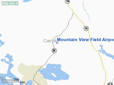
Mountain View Field Airport |
Location & QuickFacts
| FAA Information Effective: | 2008-09-25 |
| Airport Identifier: | NH31 |
| Airport Status: | Operational |
| Longitude/Latitude: | 071-08-58.2430W/43-39-00.2790N
-71.149512/43.650078 (Estimated) |
| Elevation: | 965 ft / 294.13 m (Estimated) |
| Land: | 0 acres |
| From nearest city: | 4 nautical miles NE of Wolfeboro, NH |
| Location: | Carroll County, NH |
| Magnetic Variation: | 17W (1985) |
Owner & Manager
| Ownership: | Privately owned |
| Owner: | Wsk Inc |
| Address: | 201 N. Main St.
Wolfeboro Falls, NH 03894 |
| Phone number: | 603-569-9391 |
| Manager: | Larry M Shiebler |
| Address: | Po Box 166
Wolfeboro Falls, NH 03896 |
| Phone number: | 603-569-4158 |
Airport Operations and Facilities
| Airport Use: | Private |
| Wind indicator: | No |
| Segmented Circle: | No |
| Control Tower: | No |
| Lighting Schedule: | PHONE REQ
FOR LIRL RWY 14/32 CALL 603-569-4158. |
| Landing fee charge: | No |
| Sectional chart: | New York |
| Region: | ANE - New England |
| Boundary ARTCC: | ZBW - Boston |
| Tie-in FSS: | BGR - Bangor |
| FSS on Airport: | No |
| FSS Toll Free: | 1-800-WX-BRIEF |
Airport Services
| Airframe Repair: | NONE |
| Power Plant Repair: | NONE |
Runway Information
Runway 14/32
| Dimension: | 3000 x 105 ft / 914.4 x 32.0 m |
| Surface: | TURF, |
| Edge Lights: | Low |
| |
Runway 14 |
Runway 32 |
| Traffic Pattern: | Left | Left |
|
Radio Navigation Aids
| ID |
Type |
Name |
Ch |
Freq |
Var |
Dist |
| LCI | FAN MARKER | Laconia | | | | 13.6 nm |
| SZO | FAN MARKER | Grinn | | | 17W | 21.8 nm |
| HIE | FAN MARKER | Witey | | | 17W | 46.7 nm |
| PH | MARINE NDB | Portland Lhb-p | | 301.00 | 17W | 46.7 nm |
| LC | NDB | Blnap | | 328.00 | 16W | 18.2 nm |
| SZO | NDB | Sebago | | 227.00 | 17W | 22.1 nm |
| ESG | NDB | Rollins | | 260.00 | 16W | 29.4 nm |
| CO | NDB | Epsom | | 216.00 | 16W | 34.6 nm |
| LAH | NDB | Hanover | | 276.00 | 15W | 44.8 nm |
| DRY | NDB | Derry | | 338.00 | 16W | 48.1 nm |
| GMA | NDB | Mahn | | 386.00 | 17W | 48.7 nm |
| PSM | VOR/DME | Pease | 112X | 116.50 | 16W | 36.7 nm |
| LEB | VOR/DME | Lebanon | 084X | 113.70 | 15W | 46.4 nm |
| MHT | VOR/DME | Manchester | 091X | 114.40 | 15W | 48.0 nm |
| ENE | VORTAC | Kennebunk | 118X | 117.10 | 17W | 27.0 nm |
| CON | VORTAC | Concord | 076X | 112.90 | 15W | 31.9 nm |
| PWM | VOT | Portland Intl Jetport | | 111.00 | | 36.2 nm |
Remarks
Images and information placed above are from
http://www.airport-data.com/airport/NH31/
We thank them for the data!
| General Info
|
| Country |
United States
|
| State |
NEW HAMPSHIRE
|
| FAA ID |
NH31
|
| Latitude |
43-39-00.279N
|
| Longitude |
071-08-58.243W
|
| Elevation |
965 feet
|
| Near City |
WOLFEBORO
|
We don't guarantee the information is fresh and accurate. The data may
be wrong or outdated.
For more up-to-date information please refer to other sources.
|
|


