|
|
 |
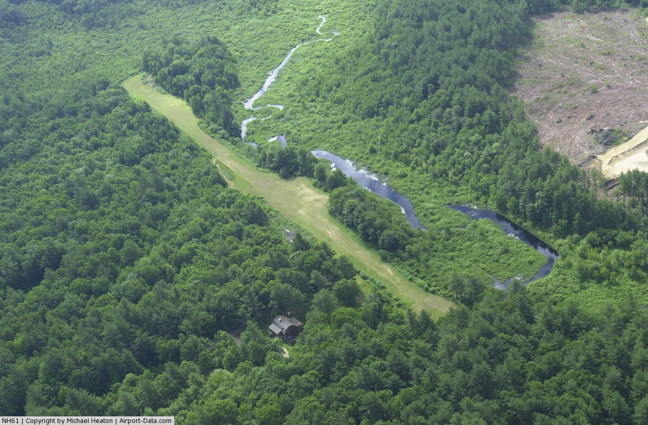
(Click on the photo to enlarge) |
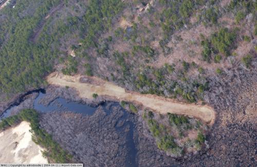 |
(Click on the photo to enlarge) |
Location & QuickFacts
| FAA Information Effective: | 2008-09-25 |
| Airport Identifier: | NH61 |
| Airport Status: | Operational |
| Longitude/Latitude: | 071-10-52.2190W/42-58-05.3100N
-71.181172/42.968142 (Estimated) |
| Elevation: | 188 ft / 57.30 m (Estimated) |
| Land: | 4 acres |
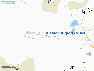
| From nearest city: | 4 nautical miles E of Chester, NH |
| Location: | Rockingham County, NH |
| Magnetic Variation: | 16W (1985) |
Owner & Manager
| Ownership: | Privately owned |
| Owner: | Michael H. Heaton |
| Address: | 660 Fremont Rd.
Chester, NH 03036 |
| Phone number: | 603-887-3272 |
| Manager: | Michael H. Heaton |
| Address: | 660 Fremont Rd.
Chester, NH 03036 |
| Phone number: | 603-887-3272 |
Airport Operations and Facilities
| Airport Use: | Private |
| Wind indicator: | Yes |
| Segmented Circle: | No |
| Control Tower: | No |
| Sectional chart: | New York |
| Region: | ANE - New England |
| Boundary ARTCC: | ZBW - Boston |
| Tie-in FSS: | BGR - Bangor |
| FSS on Airport: | No |
| FSS Toll Free: | 1-800-WX-BRIEF |
Runway Information
Runway 11/29
| Dimension: | 1700 x 28 ft / 518.2 x 8.5 m |
| Surface: | TURF, |
| |
Runway 11 |
Runway 29 |
| Traffic Pattern: | Right | Left |
| Displaced threshold: | 700.00 ft | 0.00 ft |
| Obstruction: | 70 ft trees, 1000.0 ft from runway | 99 ft trees, 15.0 ft from runway |
|
Radio Navigation Aids
| ID |
Type |
Name |
Ch |
Freq |
Var |
Dist |
| BVY | FAN MARKER | Beverly | | | | 23.9 nm |
| LCI | FAN MARKER | Laconia | | | | 37.7 nm |
| ORW | FAN MARKER | Canton | | | 15W | 48.7 nm |
| DRY | NDB | Derry | | 338.00 | 16W | 11.2 nm |
| CO | NDB | Epsom | | 216.00 | 16W | 15.0 nm |
| AS | NDB | Chern | | 359.00 | 16W | 20.5 nm |
| ESG | NDB | Rollins | | 260.00 | 16W | 21.7 nm |
| TOF | NDB | Topsfield | | 269.00 | 16W | 23.2 nm |
| SKR | NDB | Shaker Hill | | 251.00 | 16W | 30.8 nm |
| LQ | NDB | Lyndy | | 382.00 | 16W | 32.5 nm |
| FIT | NDB | Fitchburg | | 365.00 | 15W | 35.7 nm |
| LC | NDB | Blnap | | 328.00 | 16W | 37.6 nm |
| MHT | VOR/DME | Manchester | 091X | 114.40 | 15W | 10.2 nm |
| LWM | VOR/DME | Lawrence | 072X | 112.50 | 15W | 14.2 nm |
| PSM | VOR/DME | Pease | 112X | 116.50 | 16W | 16.9 nm |
| CON | VORTAC | Concord | 076X | 112.90 | 15W | 23.0 nm |
| ENE | VORTAC | Kennebunk | 118X | 117.10 | 17W | 37.1 nm |
| BOS | VORTAC | Boston | 074X | 112.70 | 16W | 37.7 nm |
| GDM | VORTAC | Gardner | 043X | 110.60 | 14W | 46.3 nm |
| BED | VOT | Laurence G Hanscom Fld | | 110.00 | | 30.4 nm |
| BOS | VOT | Boston Logan Intl | | 111.00 | | 36.2 nm |
Remarks
- TREES VERY CLOSE TO RY 29 THLD ON BOTH SIDES. IF WINGSPAN EXCEEDS 28 FT THEN HIGH WING ACFT PERMITTED ONLY.
- VFR DALGT OPS ONLY.
Images and information placed above are from
http://www.airport-data.com/airport/NH61/
We thank them for the data!
| General Info
|
| Country |
United States
|
| State |
NEW HAMPSHIRE
|
| FAA ID |
NH61
|
| Latitude |
42-58-05.310N
|
| Longitude |
071-10-52.219W
|
| Elevation |
188 feet
|
| Near City |
CHESTER
|
We don't guarantee the information is fresh and accurate. The data may
be wrong or outdated.
For more up-to-date information please refer to other sources.
|
|