 |
|
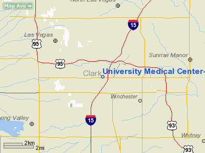
University Medical Center-southern Nevada Heliport |
Location & QuickFacts
| FAA Information Effective: | 2008-09-25 |
| Airport Identifier: | NV34 |
| Airport Status: | Operational |
| Longitude/Latitude: | 115-09-59.0040W/36-09-35.8930N
-115.166390/36.159970 (Estimated) |
| Elevation: | 2096 ft / 638.86 m (Estimated) |
| Land: | 0 acres |
| From nearest city: | 5 nautical miles SE of Las Vegas, NV |
| Location: | Clark County, NV |
| Magnetic Variation: | 14E (1985) |
Owner & Manager
| Ownership: | Publicly owned |
| Owner: | University Medical Center |
| Address: | 1800 W. Charleston Blvd
Las Vegas, NV 89102 |
| Phone number: | 702-383-2000 |
| Manager: | Kathleen Silver |
| Address: | 1800 W Charleston Blvd
Las Vegas, NV 89102 |
| Phone number: | 702-383-2000 |
Airport Operations and Facilities
| Airport Use: | Private
MEDICAL. |
| Wind indicator: | Yes |
| Segmented Circle: | Yes |
| Control Tower: | No |
| Lighting Schedule: | DUSK-DAWN |
| Landing fee charge: | No |
| Sectional chart: | Las Vegas |
| Region: | AWP - Western-Pacific |
| Boundary ARTCC: | ZLA - Los Angeles |
| Tie-in FSS: | RNO - Reno |
| FSS on Airport: | No |
| FSS Toll Free: | 1-800-WX-BRIEF |
Airport Services
| Airframe Repair: | NONE |
| Power Plant Repair: | NONE |
Runway Information
Helipad H1
| Dimension: | 50 x 50 ft / 15.2 x 15.2 m |
| Surface: | PSP, |
| |
Runway H1 |
Runway |
| Traffic Pattern: | Left | Left |
|
Helipad H2
| Dimension: | 41 x 41 ft / 12.5 x 12.5 m |
| Surface: | WOOD, |
| |
Runway H2 |
Runway |
| Traffic Pattern: | Left | Left |
|
Radio Navigation Aids
| ID |
Type |
Name |
Ch |
Freq |
Var |
Dist |
| LSV | TACAN | Nellis | 012X | | 15E | 8.5 nm |
| INS | TACAN | Indian Springs | 067X | | 15E | 35.3 nm |
| LAS | VORTAC | Las Vegas | 116X | 116.90 | 15E | 4.8 nm |
| BLD | VORTAC | Boulder City | 114X | 116.70 | 15E | 17.7 nm |
| VGT | VOT | North Las Vegas | | 108.20 | | 3.6 nm |
Remarks
- HELIPORT FOR EMERGENCY HOSPITAL USE.
Images and information placed above are from
http://www.airport-data.com/airport/NV34/
We thank them for the data!
| General Info
|
| Country |
United States
|
| State |
NEVADA
|
| FAA ID |
NV34
|
| Latitude |
36-09-35.893N
|
| Longitude |
115-09-59.004W
|
| Elevation |
2096 feet
|
| Near City |
LAS VEGAS
|
We don't guarantee the information is fresh and accurate. The data may
be wrong or outdated.
For more up-to-date information please refer to other sources.
|
|


