|
|
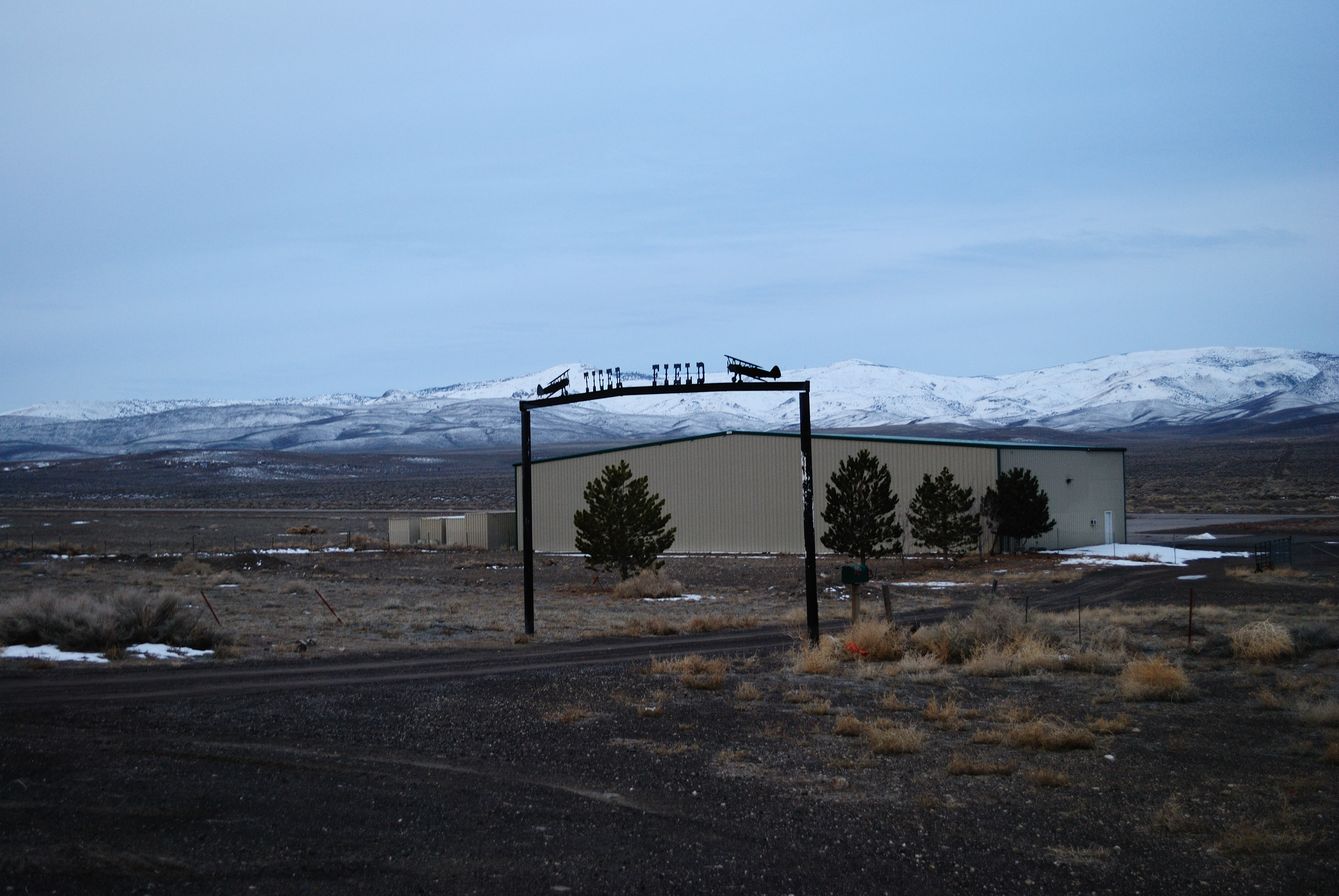
| Tiger Field |
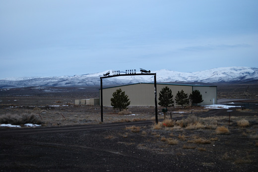 |
| Entrance to Tiger Field |
| IATA: none – ICAO: none – FAA LID: N58 |
| Summary |
| Airport type |
Public |
| Serves |
Fernley, Nevada |
| Elevation AMSL |
4,346 ft / 1,325 m |
| Coordinates |
39°33′35″N 119°14′29″W / 39.55972°N 119.24139°W / 39.55972; -119.24139 |
| Runways |
| Direction |
Length |
Surface |
| ft |
m |
| 15/33 |
3,974 |
1,211 |
Asphalt |
| 5/23 |
2,750 |
838 |
Gravel |
| Statistics (2009) |
| Aircraft operations |
2,400 |
| Based aircraft |
6 |
| Source: Federal Aviation Administration |
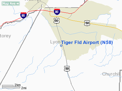
Tiger Field (FAA LID: N58) is a public-use airport located three nautical miles (6 km) south of the central business district of Fernley, a city in Lyon County, Nevada, United States. This airport is owned by the United States Bureau of Land Management. History
Hosted the Fernley Fly-In 2001.
Facilities and aircraft
Tiger Field covers an area of 80 acres (32 ha) at an elevation of 4,346 feet (1,325 m) above mean sea level. It has two runways: 15/33 is 3,974 by 40 feet (1,211 x 12 m) with an asphalt surface; 5/23 is 2,750 by 40 feet (838 x 12 m) with a gravel surface.
For the 12-month period ending June 30, 2009, the airport had 2,400 general aviation aircraft operations, an average of 200 per month. At that time there were 6 aircraft based at this airport: 100% single-engine.
The above content comes from Wikipedia and is published under free licenses – click here to read more.
 |
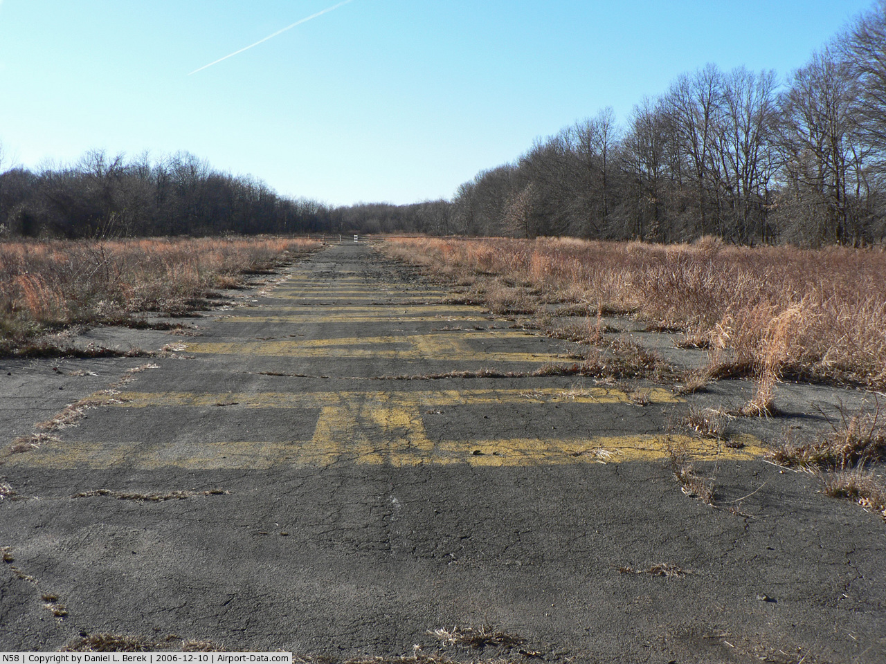
(Click on the photo to enlarge) |
 |
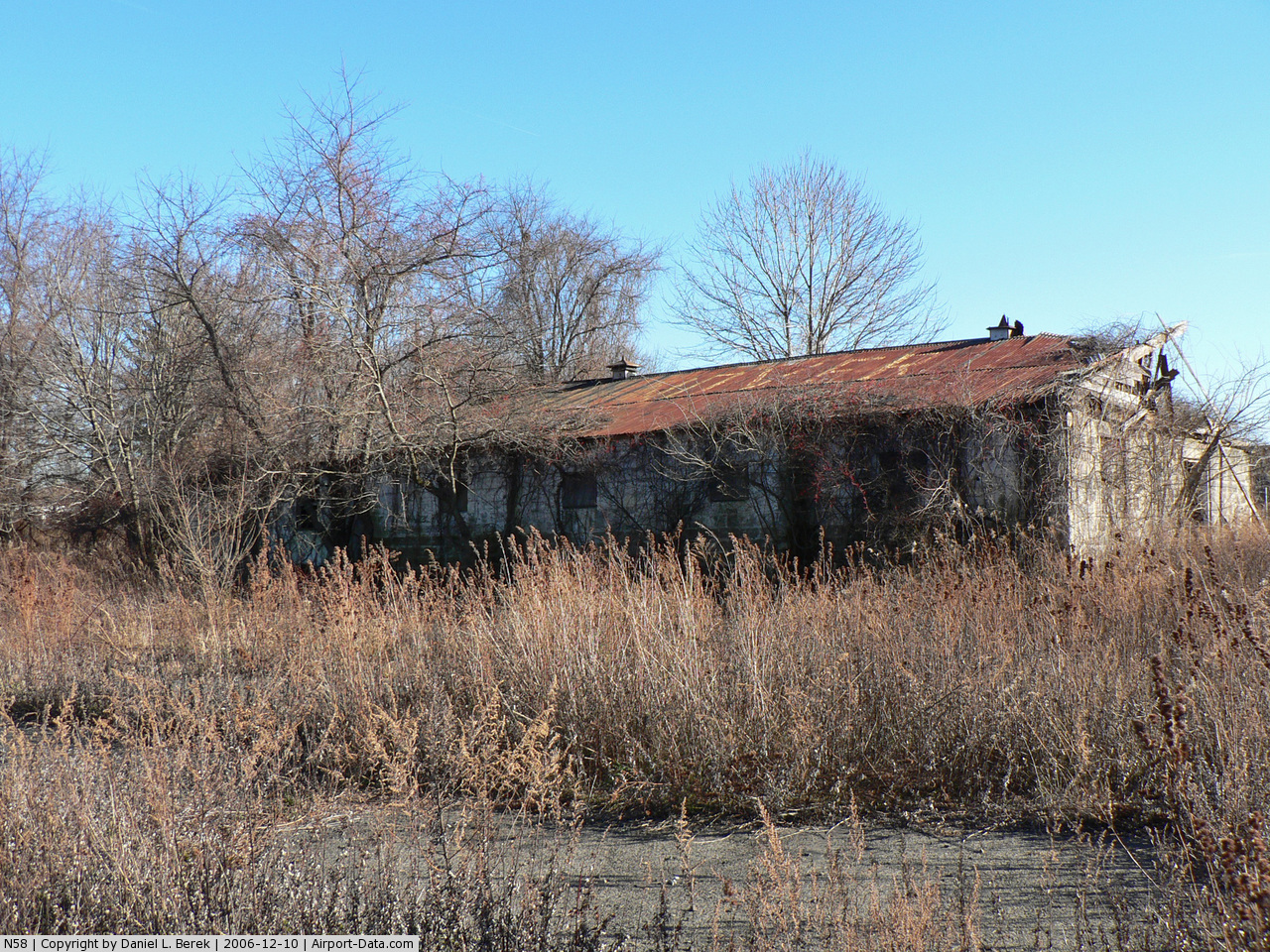
(Click on the photo to enlarge) |
 |
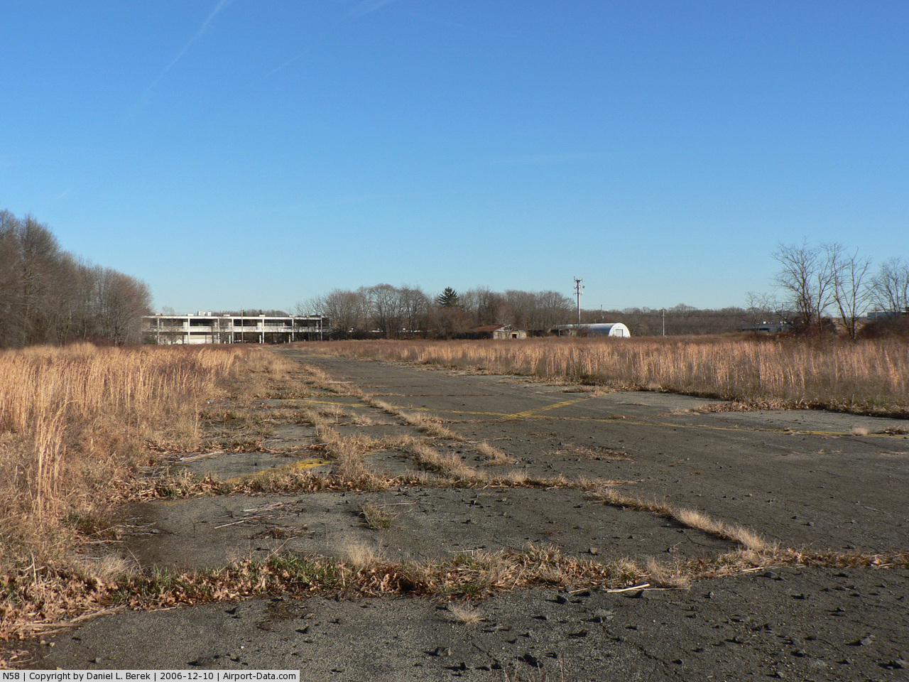
(Click on the photo to enlarge) |
Location & QuickFacts
| FAA Information Effective: | 2008-09-25 |
| Airport Identifier: | N58 |
| Airport Status: | Operational |
| Longitude/Latitude: | 119-14-29.2000W/39-33-34.6000N
-119.241444/39.559611 (Estimated) |
| Elevation: | 4346 ft / 1324.66 m (Estimated) |
| Land: | 80 acres |
| From nearest city: | 3 nautical miles S of Fernley, NV |
| Location: | Lyon County, NV |
| Magnetic Variation: | 16E (1985) |
Owner & Manager
| Ownership: | Publicly owned |
| Owner: | Bureau Of Land Mgt |
| Address: | P.o. Box 12000
Reno, NV 89502 |
| Phone number: | 775-861-6400 |
| Manager: | Rich Cable |
| Address: | P.o. Box 1259
Fernley, NV 89408 |
| Phone number: | 775-575-7050 |
Airport Operations and Facilities
| Airport Use: | Open to public |
| Wind indicator: | Yes |
| Segmented Circle: | No |
| Control Tower: | No |
| Sectional chart: | San Francisco |
| Region: | AWP - Western-Pacific |
| Boundary ARTCC: | ZOA - Oakland |
| Tie-in FSS: | RNO - Reno |
| FSS Toll Free: | 1-800-WX-BRIEF |
| NOTAMs Facility: | RNO (NOTAM-d service avaliable) |
Airport Communications
Airport Services
Runway Information
Runway 05/23
| Dimension: | 2750 x 40 ft / 838.2 x 12.2 m |
| Surface: | GRVL, Good Condition |
| |
Runway 05 |
Runway 23 |
| Longitude: | 119-15-04.3192W | 119-14-32.3732W |
| Latitude: | 39-33-37.1645N | 39-33-48.4341N |
| Elevation: | 4326.00 ft | 4280.00 ft |
| Alignment: | 65 | 127 |
| Traffic Pattern: | Left | Left |
| Obstruction: | 15 ft road, 100.0 ft from runway, 6:1 slope to clear | 440 ft hill, 2640.0 ft from runway, 6:1 slope to clear |
|
Runway 15/33
| Dimension: | 3974 x 40 ft / 1211.3 x 12.2 m |
| Surface: | ASPH, Good Condition |
| |
Runway 15 |
Runway 33 |
| Longitude: | 119-14-30.7844W | 119-14-15.8829W |
| Latitude: | 39-33-48.8064N | 39-33-11.2748N |
| Elevation: | 4278.00 ft | 4330.00 ft |
| Alignment: | 127 | 127 |
| Traffic Pattern: | Right | Left |
| Markings: | Numbers only, Good Condition | Numbers only, Good Condition |
| Obstruction: | , 50:1 slope to clear | 57 ft hill, 1640.0 ft from runway, 25:1 slope to clear
RY 33 +4 FT FENCE 75 FT FM THLD. |
|
Radio Navigation Aids
| ID |
Type |
Name |
Ch |
Freq |
Var |
Dist |
| NFL | TACAN | Fallon | 082X | | 16E | 26.3 nm |
| HZN | VORTAC | Hazen | 088X | 114.10 | 17E | 11.6 nm |
| FMG | VORTAC | Mustang | 126X | 117.90 | 16E | 19.3 nm |
| LLC | VORTAC | Lovelock | 112X | 116.50 | 16E | 45.7 nm |
Remarks
- RWY 15/33 EFF GRADIENT 2% S; RWY 05/23 EFF GRADIENT 4% W.
- PAEW INVOF RY 15.
- PROVIDED VFR OPNS ONLY; ARPT REINSPECTED AFTER RY & OTHER MOVEMENT AREAS COMPLETED.
Images and information placed above are from
http://www.airport-data.com/airport/N58/
We thank them for the data!
| General Info
|
| Country |
United States
|
| State |
NEVADA
|
| FAA ID |
N58
|
| Latitude |
39-33-34.600N
|
| Longitude |
119-14-29.200W
|
| Elevation |
4346 feet
|
| Near City |
FERNLEY
|
We don't guarantee the information is fresh and accurate. The data may
be wrong or outdated.
For more up-to-date information please refer to other sources.
|
|