 |
|
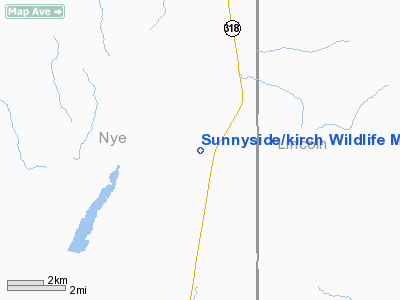
Sunnyside/kirch Wildlife Mgmt Area Airport |
Location & QuickFacts
| FAA Information Effective: | 2008-09-25 |
| Airport Identifier: | NV07 |
| Airport Status: | Operational |
| Longitude/Latitude: | 115-02-12.0460W/38-24-52.8230N
-115.036679/38.414673 (Estimated) |
| Elevation: | 5288 ft / 1611.78 m (Estimated) |
| Land: | 0 acres |
| From nearest city: | 27 nautical miles S of Lund, NV |
| Location: | Nye County, NV |
| Magnetic Variation: | 15E (1985) |
Owner & Manager
| Ownership: | Publicly owned |
| Owner: | St Of Nev Dept Fish Game |
| Address: | Po Box 10678
Reno, NV 89510 |
| Phone number: | 702-784-6214 |
| Manager: | Paul E. Lovemark |
| Address: | Po Box 10678
Reno, NV 89510 |
| Phone number: | 702-784-6214 |
Airport Operations and Facilities
| Airport Use: | Private |
| Wind indicator: | Yes |
| Segmented Circle: | No |
| Control Tower: | No |
| Landing fee charge: | No |
| Sectional chart: | Las Vegas |
| Region: | AWP - Western-Pacific |
| Boundary ARTCC: | ZLC - Salt Lake City |
| Tie-in FSS: | RNO - Reno |
| FSS on Airport: | No |
| FSS Toll Free: | 1-800-WX-BRIEF |
Airport Services
| Airframe Repair: | NONE |
| Power Plant Repair: | NONE |
Runway Information
Runway 06/24
| Dimension: | 3700 x 50 ft / 1127.8 x 15.2 m |
| Surface: | DIRT, |
| |
Runway 06 |
Runway 24 |
| Traffic Pattern: | Left | Left |
|
Radio Navigation Aids
| ID |
Type |
Name |
Ch |
Freq |
Var |
Dist |
| ILC | VORTAC | Wilson Creek | 110X | 116.30 | 16E | 31.9 nm |
Remarks
- EGAN MTN RANGE 1 MILE E.
- PLINE 100' N.
Images and information placed above are from
http://www.airport-data.com/airport/NV07/
We thank them for the data!
| General Info
|
| Country |
United States
|
| State |
NEVADA
|
| FAA ID |
NV07
|
| Latitude |
38-24-52.823N
|
| Longitude |
115-02-12.046W
|
| Elevation |
5288 feet
|
| Near City |
LUND
|
We don't guarantee the information is fresh and accurate. The data may
be wrong or outdated.
For more up-to-date information please refer to other sources.
|
|


