 |
|
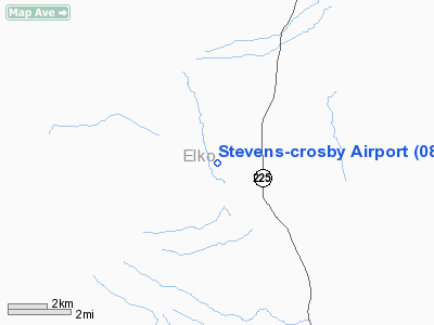
Location & QuickFacts
| FAA Information Effective: | 2008-09-25 |
| Airport Identifier: | 08U |
| Airport Status: | Operational |
| Longitude/Latitude: | 115-51-35.2950W/41-30-56.6690N
-115.859804/41.515741 (Estimated) |
| Elevation: | 6397 ft / 1949.81 m (Surveyed) |
| Land: | 6 acres |
| From nearest city: | 3 nautical miles NW of North Fork, NV |
| Location: | Elko County, NV |
| Magnetic Variation: | 16E (1985) |
Owner & Manager
| Ownership: | Publicly owned |
| Owner: | Cal Worthington |
| Address: | 12565 Auto Mall Circle
Folsom, CA 95630 |
| Phone number: | 916-985-5900 |
| Manager: | Mark Jones |
| Address: | Px Ranch, Hc 31 Box 142
Elko, NV 89801 |
| Phone number: | 775-758-6409 |
Airport Operations and Facilities
| Airport Use: | Open to public |
| Wind indicator: | No |
| Segmented Circle: | No |
| Control Tower: | No |
| Landing fee charge: | No |
| Sectional chart: | Salt Lake City |
| Region: | AWP - Western-Pacific |
| Boundary ARTCC: | ZLC - Salt Lake City |
| Tie-in FSS: | RNO - Reno |
| FSS on Airport: | No |
| FSS Toll Free: | 1-800-WX-BRIEF |
| NOTAMs Facility: | RNO (NOTAM-d service avaliable) |
Airport Communications
Airport Services
| Airframe Repair: | NONE |
| Power Plant Repair: | NONE |
| Bottled Oxygen: | NONE |
| Bulk Oxygen: | NONE |
Runway Information
Runway 01/19
| Dimension: | 3600 x 50 ft / 1097.3 x 15.2 m |
| Surface: | DIRT, Fair Condition
FIRST 500' OF RWY 01 ROUGH, UNEVEN & RUTTED.
RY 01/19 HAS 6-8 INCH RUTS NORTH 1500 FT OF RY. |
| |
Runway 01 |
Runway 19 |
| Traffic Pattern: | Left | Left |
| Markings: | None, | None, |
| Obstruction: | , 50:1 slope to clear | 4 ft fence, 50.0 ft from runway, 12:1 slope to clear |
|
Radio Navigation Aids
| ID |
Type |
Name |
Ch |
Freq |
Var |
Dist |
| LWL | VOR | Wells | | 114.20 | 17E | 45.6 nm |
| BQU | VOR/DME | Bullion | 092X | 114.50 | 17E | 45.7 nm |
Remarks
- BRUSH AND BERM TO +2' BOTH SIDES OF RWY FULL LENGTH.
- RY 01/19 HAS UNCONTROLLED VEHICLE AND LIVESTOCK ACCESS.
- RY 01 TERRAIN DROPS OFF 100 FT END OF RY.
- ESTAB PRIOR TO 15 MAY 1959
Images and information placed above are from
http://www.airport-data.com/airport/08U/
We thank them for the data!
| General Info
|
| Country |
United States
|
| State |
NEVADA
|
| FAA ID |
08U
|
| Latitude |
41-30-56.669N
|
| Longitude |
115-51-35.295W
|
| Elevation |
6397 feet
|
| Near City |
NORTH FORK
|
We don't guarantee the information is fresh and accurate. The data may
be wrong or outdated.
For more up-to-date information please refer to other sources.
|
|


