 |
|
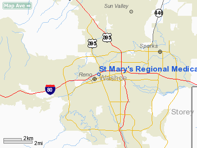
St Mary's Rgnl Medical Center Heliport |
Location & QuickFacts
| FAA Information Effective: | 2008-09-25 |
| Airport Identifier: | NV58 |
| Airport Status: | Operational |
| Longitude/Latitude: | 119-49-03.6900W/39-31-59.6800N
-119.817692/39.533244 (Estimated) |
| Elevation: | 4600 ft / 1402.08 m (Estimated) |
| Land: | 0 acres |
| From nearest city: | 2 nautical miles SE of Reno, NV |
| Location: | Washoe County, NV |
| Magnetic Variation: | 16E (1985) |
Owner & Manager
| Ownership: | Privately owned |
| Owner: | St. Mary's Rgnl Med Center |
| Address: | 235 W. 6th St.
Reno, NV 89520 |
| Phone number: | 702-789-3004 |
| Manager: | Jane Miller
REGIONAL EMERGENCY MEDICAL SERVICES AUTHORITY. |
| Address: | 450 Edison Way
Reno, NV 89502 |
| Phone number: | 702-858-5700 |
Airport Operations and Facilities
| Airport Use: | Private
MEDICAL. |
| Wind indicator: | Yes |
| Segmented Circle: | No |
| Control Tower: | No |
| Lighting Schedule: | DUSK-DAWN |
| Beacon Color: | Clear (unlighted land airport) |
| Landing fee charge: | No |
| Sectional chart: | San Francisco |
| Region: | AWP - Western-Pacific |
| Boundary ARTCC: | ZOA - Oakland |
| Tie-in FSS: | RNO - Reno |
| FSS on Airport: | No |
| FSS Toll Free: | 1-800-WX-BRIEF |
Airport Communications
Runway Information
Helipad H1
| Dimension: | 60 x 60 ft / 18.3 x 18.3 m |
| Surface: | CONC, |
| |
Runway H1 |
Runway |
| Traffic Pattern: | Left | Left |
|
Radio Navigation Aids
| ID |
Type |
Name |
Ch |
Freq |
Var |
Dist |
| SWR | VOR/DME | Squaw Valley | 079X | 113.20 | 16E | 29.9 nm |
| AHC | VOR/DME | Amedee | 027X | 109.00 | 17E | 46.8 nm |
| FMG | VORTAC | Mustang | 126X | 117.90 | 16E | 7.5 nm |
| HZN | VORTAC | Hazen | 088X | 114.10 | 17E | 38.0 nm |
Remarks
- HOSPITAL TOWER LGTD 150 FT SW AND 50 FT ABOVE HELIPAD.
- 3 FT WALL SURROUNDING HELIPAD.
- CONDL--VFR; PVT USE; PROVIDED PILOTS ESTABLISH AND REMAIN IN TWO WAY RADIO COMMUNICATIONS WITH RENO TOWER WHILE OPERATING WITHIN THE RENO CONTROL ZONE.
Images and information placed above are from
http://www.airport-data.com/airport/NV58/
We thank them for the data!
| General Info
|
| Country |
United States
|
| State |
NEVADA
|
| FAA ID |
NV58
|
| Latitude |
39-31-59.680N
|
| Longitude |
119-49-03.690W
|
| Elevation |
4600 feet
|
| Near City |
RENO
|
We don't guarantee the information is fresh and accurate. The data may
be wrong or outdated.
For more up-to-date information please refer to other sources.
|
|


