 |
|
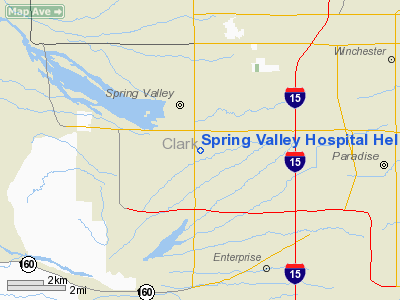
Spring Valley Hospital Heliport |
Location & QuickFacts
| FAA Information Effective: | 2008-09-25 |
| Airport Identifier: | 2VE2 |
| Airport Status: | Operational |
| Longitude/Latitude: | 115-14-21.0000W/36-05-27.0000N
-115.239167/36.090833 (Estimated) |
| Elevation: | 2375 ft / 723.90 m (Estimated) |
| Land: | 0 acres |
| From nearest city: | 7 nautical miles S of Las Vegas, NV |
| Location: | Clark County, NV |
| Magnetic Variation: | () |
Owner & Manager
| Ownership: | Privately owned |
| Owner: | Spring Valley Hospital |
| Address: | 5400 Rainbow Blvd
Las Vegas, NV 89118 |
| Phone number: | 702-853-3000 |
| Manager: | Monty Bowen |
| Address: | 5400 Rainbow Blvd
Las Vegas, NV 89118 |
| Phone number: | 702-853-3000 |
Airport Operations and Facilities
| Airport Use: | Private
MEDICAL USE. |
| Wind indicator: | Yes |
| Control Tower: | No |
| Lighting Schedule: | DUSK-DAWN |
| Sectional chart: | Las Vegas |
| Region: | AWP - Western-Pacific |
| Boundary ARTCC: | ZLA - Los Angeles |
| Tie-in FSS: | RNO - Reno |
| FSS Toll Free: | 1-800-WX-BRIEF |
Runway Information
Helipad H1
| Dimension: | 60 x 60 ft / 18.3 x 18.3 m |
| Surface: | CONC, |
| |
Runway H1 |
Runway |
| Traffic Pattern: | Left | Left |
|
Radio Navigation Aids
| ID |
Type |
Name |
Ch |
Freq |
Var |
Dist |
| MCY | NDB | Mercury | | 326.00 | 16E | 50.0 nm |
| LSV | TACAN | Nellis | 012X | | 15E | 13.9 nm |
| INS | TACAN | Indian Springs | 067X | | 15E | 36.3 nm |
| LAS | VORTAC | Las Vegas | 116X | 116.90 | 15E | 3.9 nm |
| BLD | VORTAC | Boulder City | 114X | 116.70 | 15E | 19.1 nm |
| VGT | VOT | North Las Vegas | | 108.20 | | 7.5 nm |
Remarks
- PRVDD VFR OPNS; PVT; OPERATOR MUST CONTACT LAS VEVGAS ATCT FOT OPNL REQUIREMENTS.
Images and information placed above are from
http://www.airport-data.com/airport/2VE2/
We thank them for the data!
|
|


