 |
|
Location & QuickFacts
| FAA Information Effective: | 2008-09-25 |
| Airport Identifier: | NV22 |
| Airport Status: | Operational |
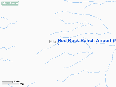
| Longitude/Latitude: | 115-53-48.2280W/40-18-45.7330N
-115.896730/40.312704 (Estimated) |
| Elevation: | 6158 ft / 1876.96 m (Estimated) |
| Land: | 0 acres |
| From nearest city: | 36 nautical miles S of Elko, NV |
| Location: | Elko County, NV |
| Magnetic Variation: | 16E (1985) |
Owner & Manager
| Ownership: | Privately owned |
| Owner: | Curtis F. Otto |
| Address: | Red Rock Ranch
Jiggs, NV 89827-0021 |
| Manager: | Curtis F. Otto |
| Address: | Red Rock Ranch
Jiggs, NV 89827-0021 |
Airport Operations and Facilities
| Airport Use: | Private |
| Segmented Circle: | No |
| Control Tower: | No |
| Sectional chart: | Las Vegas |
| Region: | AWP - Western-Pacific |
| Boundary ARTCC: | ZLC - Salt Lake City |
| Tie-in FSS: | RNO - Reno |
| FSS on Airport: | No |
| FSS Toll Free: | 1-800-WX-BRIEF |
Runway Information
Runway 04/22
| Dimension: | 1800 x 40 ft / 548.6 x 12.2 m |
| Surface: | GRVL, |
| |
Runway 04 |
Runway 22 |
| Traffic Pattern: | Left | Left |
|
Radio Navigation Aids
| ID |
Type |
Name |
Ch |
Freq |
Var |
Dist |
| BQU | VOR/DME | Bullion | 092X | 114.50 | 17E | 27.6 nm |
| BAM | VORTAC | Battle Mountain | 059X | 112.20 | 18E | 49.4 nm |
Remarks
- PROVIDING PVT USE VFR ONLY.
Images and information placed above are from
http://www.airport-data.com/airport/NV22/
We thank them for the data!
| General Info
|
| Country |
United States
|
| State |
NEVADA
|
| FAA ID |
NV22
|
| Latitude |
40-18-45.733N
|
| Longitude |
115-53-48.228W
|
| Elevation |
6158 feet
|
| Near City |
ELKO
|
We don't guarantee the information is fresh and accurate. The data may
be wrong or outdated.
For more up-to-date information please refer to other sources.
|
|


