 |
|
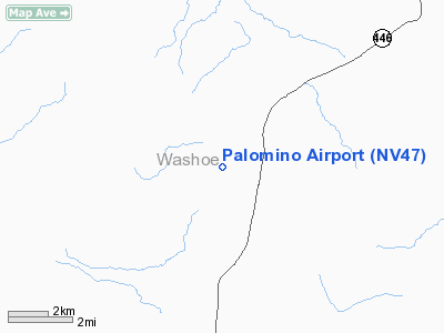
Location & QuickFacts
| FAA Information Effective: | 2008-09-25 |
| Airport Identifier: | NV47 |
| Airport Status: | Operational |
| Longitude/Latitude: | 119-40-55.6760W/39-49-59.6700N
-119.682132/39.833242 (Estimated) |
| Elevation: | 4240 ft / 1292.35 m (Estimated) |
| Land: | 0 acres |
| From nearest city: | 17 nautical miles NE of Sparks, NV |
| Location: | Washoe County, NV |
| Magnetic Variation: | 16E (1985) |
Owner & Manager
| Ownership: | Privately owned |
| Owner: | Fred Hayden |
| Address: | 5200 Rebel Cause Rd
Reno, NV 89510 |
| Phone number: | 775-475-0422 |
| Manager: | Fred Hayden |
| Address: | 5200 Rebel Cause Rd
Reno, NV 89510 |
| Phone number: | 775-475-0422 |
Airport Operations and Facilities
| Airport Use: | Private |
| Wind indicator: | Yes |
| Segmented Circle: | No |
| Control Tower: | No |
| Landing fee charge: | No |
| Sectional chart: | San Francisco |
| Region: | AWP - Western-Pacific |
| Boundary ARTCC: | ZOA - Oakland |
| Tie-in FSS: | RNO - Reno |
| FSS on Airport: | No |
| FSS Toll Free: | 1-800-WX-BRIEF |
Runway Information
Runway 16/34
| Dimension: | 4000 x 42 ft / 1219.2 x 12.8 m |
| Surface: | GRAVEL, |
| |
Runway 16 |
Runway 34 |
| Traffic Pattern: | Left | Left |
| Obstruction: | | 40 ft pline, 1300.0 ft from runway |
|
Radio Navigation Aids
| ID |
Type |
Name |
Ch |
Freq |
Var |
Dist |
| AHC | VOR/DME | Amedee | 027X | 109.00 | 17E | 33.9 nm |
| SWR | VOR/DME | Squaw Valley | 079X | 113.20 | 16E | 47.8 nm |
| FMG | VORTAC | Mustang | 126X | 117.90 | 16E | 18.2 nm |
| HZN | VORTAC | Hazen | 088X | 114.10 | 17E | 37.0 nm |
Remarks
- ONLY APRXLY THE FIRST 1700' TO 1800' OF RWY 34 USABLE DURING THE WINTER MONTHS DUE TO WEATHER AND LACK OF MAINT.
- 30-40' PLINES RUNNING PARALLEL 200' TO EAST & 500' DOWN RWY 34
- VFR PVT USE.
Images and information placed above are from
http://www.airport-data.com/airport/NV47/
We thank them for the data!
| General Info
|
| Country |
United States
|
| State |
NEVADA
|
| FAA ID |
NV47
|
| Latitude |
39-49-59.670N
|
| Longitude |
119-40-55.676W
|
| Elevation |
4240 feet
|
| Near City |
SPARKS
|
We don't guarantee the information is fresh and accurate. The data may
be wrong or outdated.
For more up-to-date information please refer to other sources.
|
|


