 |
|
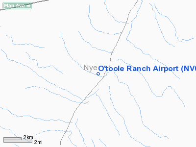
Location & QuickFacts
| FAA Information Effective: | 2008-09-25 |
| Airport Identifier: | NV02 |
| Airport Status: | Operational |
| Longitude/Latitude: | 117-25-18.3460W/39-03-59.7400N
-117.421763/39.066594 (Estimated) |
| Elevation: | 6520 ft / 1987.30 m (Estimated) |
| Land: | 0 acres |
| From nearest city: | 30 nautical miles SW of Austin, NV |
| Location: | Nye County, NV |
| Magnetic Variation: | 15E (1985) |
Owner & Manager
| Ownership: | Privately owned |
| Owner: | Bart O'toole |
| Address: | Hc 61 Box 6214
Austin, NV 89310-9301 |
| Phone number: | 702-964-2464 |
| Address: |
|
Airport Operations and Facilities
| Airport Use: | Private |
| Wind indicator: | No |
| Segmented Circle: | No |
| Control Tower: | No |
| Landing fee charge: | No |
| Sectional chart: | Las Vegas |
| Region: | AWP - Western-Pacific |
| Boundary ARTCC: | ZOA - Oakland |
| Tie-in FSS: | RNO - Reno |
| FSS on Airport: | No |
| FSS Toll Free: | 1-800-WX-BRIEF |
Airport Services
| Airframe Repair: | NONE |
| Power Plant Repair: | NONE |
Runway Information
Runway 07/25
| Dimension: | 4000 x 40 ft / 1219.2 x 12.2 m |
| Surface: | DIRT, |
| |
Runway 07 |
Runway 25 |
| Traffic Pattern: | Left | Left |
|
Radio Navigation Aids
| ID |
Type |
Name |
Ch |
Freq |
Var |
Dist |
| MVA | VORTAC | Mina | 098X | 115.10 | 17E | 41.6 nm |
Remarks
- FILED FOR RECORD PURPOSES ONLY.
Images and information placed above are from
http://www.airport-data.com/airport/NV02/
We thank them for the data!
| General Info
|
| Country |
United States
|
| State |
NEVADA
|
| FAA ID |
NV02
|
| Latitude |
39-03-59.740N
|
| Longitude |
117-25-18.346W
|
| Elevation |
6520 feet
|
| Near City |
AUSTIN
|
We don't guarantee the information is fresh and accurate. The data may
be wrong or outdated.
For more up-to-date information please refer to other sources.
|
|


