|
|
| Minden-Tahoe Airport |
| IATA: MEV – ICAO: KMEV – FAA LID: MEV |
| Summary |
| Airport type |
Public |
| Owner |
Douglas County |
| Serves |
Minden, Nevada |
| Elevation AMSL |
4,722 ft / 1,439 m |
| Coordinates |
39°00′03″N 119°45′07″W / 39.00083°N 119.75194°W / 39.00083; -119.75194 |
| Runways |
| Direction |
Length |
Surface |
| ft |
m |
| 16/34 |
7,400 |
2,256 |
Asphalt |
| 12/30 |
5,300 |
1,615 |
Asphalt |
| 12G/30G |
2,200 |
671 |
Dirt |
| Statistics (2009) |
| Aircraft operations |
79,800 |
| Based aircraft |
255 |
| Source: Federal Aviation Administration |
Minden-Tahoe Airport (IATA: MEV, ICAO: KMEV, FAA LID: MEV) is a general aviation airport serving the Carson Valley in Douglas County, including the towns of Minden, Gardnerville and Genoa, Nevada. The airport is situated four nautical miles (7 km) north of Minden. It is home to the Sierra Front Interagency Dispatch Center and regional firefighting air tanker base.
The airport is considered a mecca for soaring, and many North American and world records have been flown out of Minden in the many gliders that it hosts.
Gliders are usually towed to altitudes of 1,000–2,000 feet (300–610 m) over the airport, and they are often able to make out and return flights to the White Mountains, Owens Valley, and Eastern Nevada, often covering distances of over 500 miles (800 km).
During the winter months, the famous Sierra mountain wave can carry gliders well over 25,000 feet (7,600 m), with the Minden record well over 40,000 feet (12,000 m).
A mid-air collision near the Pine Nuts range between a glider and a small jet at 16,000 feet (4,900 m) has heightened the awareness for all airplanes flying in the area that both types of aircraft need to watch out for each other.
The airport is currently undergoing an expansion plan where glider operations will be moved to the East Side of the airport.
Minden-Tahoe Airport is the base for the "Introduction to Soaring" tutorial mission supplied with Microsoft Flight Simulator X.
Facilities and aircraft
Minden-Tahoe Airport covers an area of 990 acres (401 ha) at an elevation of 4,722 feet (1,439 m) above mean sea level. It has two asphalt paved runways: 16/34 is 7,400 by 100 feet (2,256 x 30 m) and 12/30 is 5,300 by 75 feet (1,615 x 23 m). A glider runway designated 12G/30G has dirt surface measuring 2,200 by 60 feet (671 x 18 m).
For the 12-month period ending February 28, 2009, the airport had 79,800 aircraft operations, an average of 218 per day: 97% general aviation, 3% air taxi, and <1% military. At that time there were 255 aircraft based at this airport: 56% single-engine, 9% multi-engine, 2% jet, 1% helicopter, 31% glider and <1% ultralight.
The above content comes from Wikipedia and is published under free licenses – click here to read more.
 |
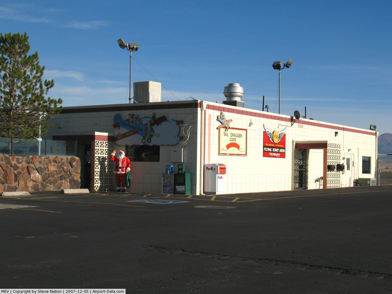
(Click on the photo to enlarge) |
 |
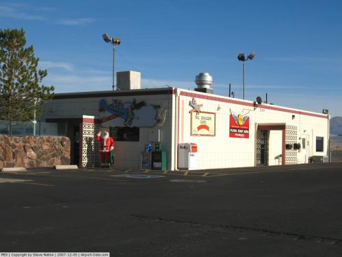
(Click on the photo to enlarge) |
Location & QuickFacts
| FAA Information Effective: | 2008-09-25 |
| Airport Identifier: | MEV |
| Airport Status: | Operational |
| Longitude/Latitude: | 119-45-06.9000W/39-00-03.3000N
-119.751917/39.000917 (Estimated) |
| Elevation: | 4722 ft / 1439.27 m (Surveyed) |
| Land: | 990 acres |
| From nearest city: | 4 nautical miles N of Minden, NV |
| Location: | Douglas County, NV |
| Magnetic Variation: | 15E (2000) |
Owner & Manager
| Ownership: | Publicly owned |
| Owner: | Douglas County |
| Address: | P O Box 218
Minden, NV 89423 |
| Phone number: | 775-782-9871 |
| Manager: | Keith Kallman |
| Address: | Po Box 218
Minden, NV 89423 |
| Phone number: | 775-782-9871 |
Airport Operations and Facilities
| Airport Use: | Open to public |
| Wind indicator: | Yes |
| Segmented Circle: | Yes |
| Control Tower: | No |
| Lighting Schedule: | DUSK-DAWN
ACTVT MIRL RY 16/34 VASI RYS 16 & 34 - CTAF. |
| Beacon Color: | Clear-Green (lighted land airport) |
| Landing fee charge: | No |
| Sectional chart: | San Francisco |
| Region: | AWP - Western-Pacific |
| Boundary ARTCC: | ZOA - Oakland |
| Tie-in FSS: | RNO - Reno |
| FSS on Airport: | No |
| FSS Toll Free: | 1-800-WX-BRIEF |
| NOTAMs Facility: | MEV (NOTAM-d service avaliable) |
| Federal Agreements: | NGY3 |
Airport Communications
| CTAF: | 123.050 |
| Unicom: | 123.050 |
Airport Services
| Fuel available: | 100LLA |
| Airframe Repair: | MAJOR |
| Power Plant Repair: | MAJOR |
| Bottled Oxygen: | HIGH |
| Bulk Oxygen: | HIGH |
Runway Information
Runway 12/30
| Dimension: | 5300 x 75 ft / 1615.4 x 22.9 m |
| Surface: | ASPH, Good Condition |
| Weight Limit: | Single wheel: 30000 lbs.
Dual wheel: 50000 lbs. |
| |
Runway 12 |
Runway 30 |
| Longitude: | 119-45-30.7546W | 119-44-43.1241W |
| Latitude: | 39-00-19.7554N | 38-59-42.8617N |
| Elevation: | 4700.00 ft | 4722.00 ft |
| Alignment: | 127 | 127 |
| Traffic Pattern: | Right | Left |
| Markings: | Basic, Good Condition | Basic, Good Condition |
| Runway End Identifier: | No | No |
| Centerline Lights: | No | No |
| Touchdown Lights: | No | No |
| Obstruction: | 28 ft pole, 734.0 ft from runway, 19:1 slope to clear | , 50:1 slope to clear |
|
Runway 12G/30G
| Dimension: | 2200 x 60 ft / 670.6 x 18.3 m |
| Surface: | DIRT, Good Condition |
| |
Runway 12G |
Runway 30G |
| Alignment: | 127 | 127 |
| Traffic Pattern: | Left | Left |
| Obstruction: | 2 ft brush, 66.0 ft from runway, 33:1 slope to clear | , 50:1 slope to clear |
|
Runway 16/34
| Dimension: | 7400 x 100 ft / 2255.5 x 30.5 m |
| Surface: | ASPH, |
| Weight Limit: | Single wheel: 30000 lbs.
Dual wheel: 50000 lbs. |
| Edge Lights: | Medium |
| |
Runway 16 |
Runway 34 |
| Longitude: | 119-45-07.1215W | 119-45-06.7773W |
| Latitude: | 39-00-41.3187N | 38-59-28.1936N |
| Elevation: | 4708.00 ft | 4717.00 ft |
| Alignment: | 127 | 127 |
| Traffic Pattern: | Right | Left |
| Markings: | Non-precision instrument, Good Condition | Non-precision instrument, Good Condition |
| Crossing Height: | 31.00 ft | 31.00 ft |
| VASI: | 4-box on right side | 4-box on left side |
| Visual Glide Angle: | 3.00° | 3.00° |
| Runway End Identifier: | No | No |
| Centerline Lights: | No | No |
| Touchdown Lights: | No | No |
|
Radio Navigation Aids
| ID |
Type |
Name |
Ch |
Freq |
Var |
Dist |
| SWR | VOR/DME | Squaw Valley | 079X | 113.20 | 16E | 26.4 nm |
| HNW | VOR/DME | Hangtown | 102X | 115.50 | 17E | 49.5 nm |
| FMG | VORTAC | Mustang | 126X | 117.90 | 16E | 32.2 nm |
| HZN | VORTAC | Hazen | 088X | 114.10 | 17E | 46.8 nm |
Remarks
- SAILPLANE TFC PAT RYS 30 & 34 RIGHT TFC.
- ULTRALIGHT AND BALLOON ACTIVITY ON AND INVOF ARPT.
- FOR EMERGENCIES AFTER 1600 HRS CTC 775-782-9911.
- SNOW REMOVAL DURG DALGT HRS ONLY.
- RY 30G LDGS ONLY; NO TKOF OR LDGS RY 12G.
- NOISE ABATEMENT PROCEDURES IN EFFECT, FOR INFORMATION CONTACT 775-782-9871.
- DEER & FLOCKS OF LARGE BIRDS ON AND IN VICINITY OF ARPT.
- PARACHUTE JUMPING & GLIDER ACTIVITY ON AND INVOF AIRPORT.
Images and information placed above are from
http://www.airport-data.com/airport/MEV/
We thank them for the data!
| General Info
|
| Country |
United States
|
| State |
NEVADA
|
| FAA ID |
MEV
|
| Latitude |
39-00-01.112N
|
| Longitude |
119-45-02.903W
|
| Elevation |
4717 feet
|
| Near City |
MINDEN
|
We don't guarantee the information is fresh and accurate. The data may
be wrong or outdated.
For more up-to-date information please refer to other sources.
|
|