 |
|
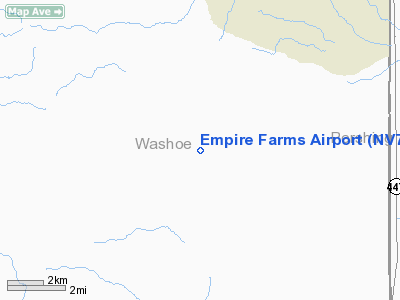
Location & QuickFacts
| FAA Information Effective: | 2008-09-25 |
| Airport Identifier: | NV77 |
| Airport Status: | Operational |
| Longitude/Latitude: | 119-27-42.6770W/40-26-08.6500N
-119.461855/40.435736 (Estimated) |
| Elevation: | 4085 ft / 1245.11 m (Surveyed) |
| Land: | 0 acres |
| From nearest city: | 12 nautical miles SW of Empire, NV |
| Location: | Washoe County, NV |
| Magnetic Variation: | 17E (1985) |
Owner & Manager
| Ownership: | Privately owned |
| Owner: | Empire Farms |
| Address: | Po Box 40
Empire, NV 89405 |
| Phone number: | 702-557-2015 |
| Manager: | Michael B. Stewart |
| Address: | Po Box 40
Empire, NV 89405 |
| Phone number: | 702-557-2015 |
Airport Operations and Facilities
| Airport Use: | Private |
| Segmented Circle: | No |
| Control Tower: | No |
| Sectional chart: | Klamath Falls |
| Region: | AWP - Western-Pacific |
| Boundary ARTCC: | ZOA - Oakland |
| Tie-in FSS: | RNO - Reno |
| FSS on Airport: | No |
| FSS Toll Free: | 1-800-WX-BRIEF |
Runway Information
Runway 18/36
| Dimension: | 4260 x 30 ft / 1298.4 x 9.1 m |
| Surface: | DIRT, |
| |
Runway 18 |
Runway 36 |
| Traffic Pattern: | Left | Left |
|
Radio Navigation Aids
| ID |
Type |
Name |
Ch |
Freq |
Var |
Dist |
| AHC | VOR/DME | Amedee | 027X | 109.00 | 17E | 33.2 nm |
| LLC | VORTAC | Lovelock | 112X | 116.50 | 16E | 44.6 nm |
Remarks
- PROVIDING VFR DALGT USE ONLY.
Images and information placed above are from
http://www.airport-data.com/airport/NV77/
We thank them for the data!
| General Info
|
| Country |
United States
|
| State |
NEVADA
|
| FAA ID |
NV77
|
| Latitude |
40-26-08.650N
|
| Longitude |
119-27-42.677W
|
| Elevation |
4085 feet
|
| Near City |
EMPIRE
|
We don't guarantee the information is fresh and accurate. The data may
be wrong or outdated.
For more up-to-date information please refer to other sources.
|
|


