 |
|
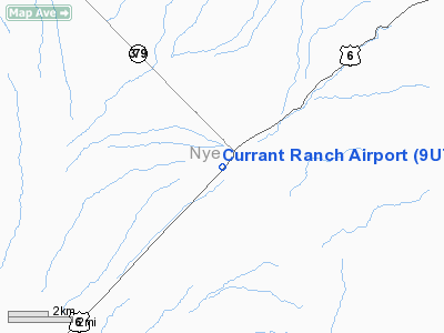
Location & QuickFacts
| FAA Information Effective: | 2008-09-25 |
| Airport Identifier: | 9U7 |
| Airport Status: | Operational |
| Longitude/Latitude: | 115-28-49.0990W/38-44-09.7650N
-115.480305/38.736046 (Estimated) |
| Elevation: | 5181 ft / 1579.17 m (Surveyed) |
| Land: | 15 acres |
| From nearest city: | 1 nautical miles SW of Currant, NV |
| Location: | Nye County, NV |
| Magnetic Variation: | 15E (1985) |
Owner & Manager
| Ownership: | Publicly owned |
| Owner: | Us Bureau Of Land Management |
| Address: | P.o. Box 12000
Reno, NV 89620-6400 |
| Phone number: | 775-861-6400 |
| Manager: | Edward C. Fisher |
| Address: | Hcr 34 Box 34227
Ely, NV 89301 |
| Phone number: | 775-863-0364
ACTING CONTACT 775-863-0213. |
Airport Operations and Facilities
| Airport Use: | Open to public |
| Wind indicator: | No |
| Segmented Circle: | No |
| Control Tower: | No |
| Landing fee charge: | No |
| Sectional chart: | Las Vegas |
| Region: | AWP - Western-Pacific |
| Boundary ARTCC: | ZLC - Salt Lake City |
| Tie-in FSS: | RNO - Reno |
| FSS on Airport: | No |
| FSS Toll Free: | 1-800-WX-BRIEF |
| NOTAMs Facility: | RNO (NOTAM-d service avaliable) |
Airport Communications
Airport Services
| Airframe Repair: | NONE |
| Power Plant Repair: | NONE |
| Bottled Oxygen: | NONE |
| Bulk Oxygen: | NONE |
Runway Information
Runway 03/21
| Dimension: | 5100 x 80 ft / 1554.5 x 24.4 m |
| Surface: | TURF-DIRT, Fair Condition
FULL LENGTH DIRT AND TURF. |
| |
Runway 03 |
Runway 21 |
| Traffic Pattern: | Left | Left |
| Markings: | None, | None, |
| Obstruction: | , 50:1 slope to clear | 15 ft road, 30.0 ft from runway, 2:1 slope to clear |
|
Radio Navigation Aids
| ID |
Type |
Name |
Ch |
Freq |
Var |
Dist |
| ELY | VOR/DME | Ely | 043X | 110.60 | 14E | 44.9 nm |
Remarks
- RY 03//21 HAS UNLIMITED VEH ACCESS TO ACFT MOVEMENT AREA.
- WIND PERMITTING LAND RY 03 TKOF RY 21 TO AVOID OVERFLYING TOWN.
- RY 03/21 +1 FT BERM N SIDE AND +2 FT BERM S SIDE ALONG RY LENGTH.
Images and information placed above are from
http://www.airport-data.com/airport/9U7/
We thank them for the data!
| General Info
|
| Country |
United States
|
| State |
NEVADA
|
| FAA ID |
9U7
|
| Latitude |
38-44-09.765N
|
| Longitude |
115-28-49.099W
|
| Elevation |
5181 feet
|
| Near City |
CURRANT
|
We don't guarantee the information is fresh and accurate. The data may
be wrong or outdated.
For more up-to-date information please refer to other sources.
|
|


