|
|
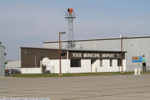 |
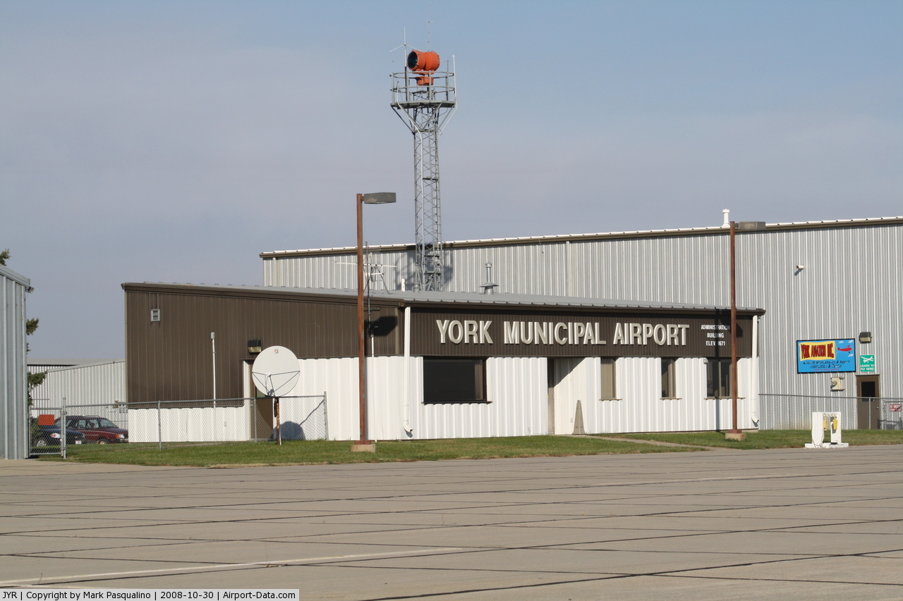
(Click on the photo to enlarge) |
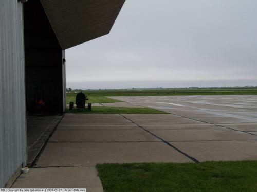 |
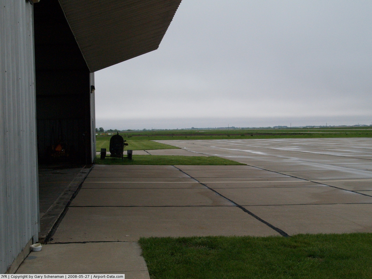
(Click on the photo to enlarge) |
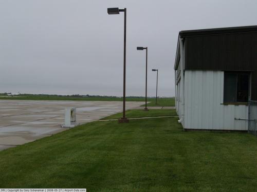 |
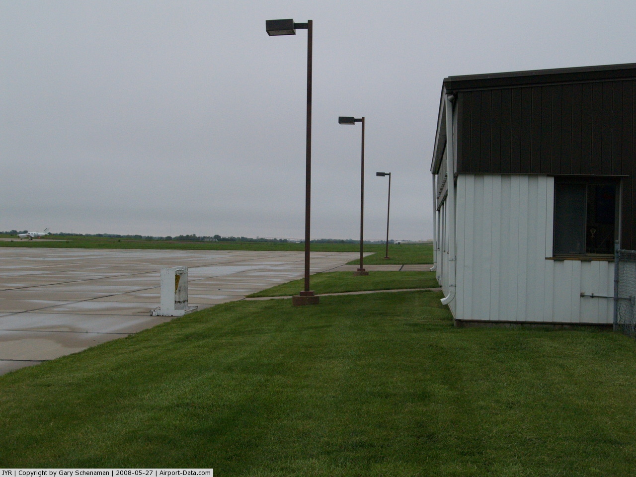
(Click on the photo to enlarge) |
Location & QuickFacts
| FAA Information Effective: | 2008-09-25 |
| Airport Identifier: | JYR |
| Airport Status: | Operational |
| Longitude/Latitude: | 097-37-22.0000W/40-53-48.3000N
-97.622778/40.896750 (Estimated) |
| Elevation: | 1670 ft / 509.02 m (Surveyed) |
| Land: | 467 acres |
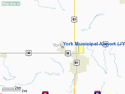
| From nearest city: | 1 nautical miles NW of York, NE |
| Location: | York County, NE |
| Magnetic Variation: | 06E (1995) |
Owner & Manager
| Ownership: | Publicly owned |
| Owner: | City Of York |
| Address: | Po Box 276
York, NE 68467-3512 |
| Phone number: | 402-363-2600
FAX 402-363-2601 |
| Manager: | Randy Hall
DOUG ABBOTT ARPT OPS MANAGER. |
| Address: | 100 E 4th
York, NE 68467-3512 |
| Phone number: | 402-363-2600 |
Airport Operations and Facilities
| Airport Use: | Open to public |
| Wind indicator: | Yes |
| Segmented Circle: | Yes |
| Control Tower: | No |
| Lighting Schedule: | DUSK-DAWN
AFTER 2200 ACTVT MIRL RY 17/35; PAPI RY 17; VASI RY 35; REIL RYS 17 & 35 - CTAF. |
| Beacon Color: | Clear-Green (lighted land airport) |
| Sectional chart: | Omaha |
| Region: | ACE - Central |
| Boundary ARTCC: | ZMP - Minneapolis |
| Tie-in FSS: | OLU - Columbus |
| FSS Toll Free: | 1-800-WX-BRIEF |
| NOTAMs Facility: | JYR (NOTAM-d service avaliable) |
| Federal Agreements: | NGY |
Airport Communications
| CTAF: | 122.800 |
| Unicom: | 122.800 |
Airport Services
Runway Information
Runway 05/23
| Dimension: | 4700 x 150 ft / 1432.6 x 45.7 m |
| Surface: | TURF, Good Condition |
| |
Runway 05 |
Runway 23 |
| Longitude: | 097-37-57.4710W | 097-37-08.0780W |
| Latitude: | 40-53-31.8240N | 40-53-59.2420N |
| Elevation: | 1665.00 ft | 1664.00 ft |
| Alignment: | 54 | 127 |
| Traffic Pattern: | Left | Left |
| Obstruction: | 51 ft pole, 861.0 ft from runway, 16:1 slope to clear | 38 ft pole, 780.0 ft from runway, 120 ft right of centerline, 20:1 slope to clear |
|
Runway 17/35
| Dimension: | 5900 x 100 ft / 1798.3 x 30.5 m |
| Surface: | CONC, Good Condition |
| Weight Limit: | Single wheel: 30000 lbs.
Dual wheel: 38000 lbs. |
| Edge Lights: | Medium |
| |
Runway 17 |
Runway 35 |
| Longitude: | 097-37-25.6040W | 097-37-18.4350W |
| Latitude: | 40-54-17.3320N | 40-53-19.2950N |
| Elevation: | 1665.00 ft | 1670.00 ft |
| Alignment: | 127 | 127 |
| Traffic Pattern: | Left | Left |
| Markings: | Non-precision instrument, Good Condition | Non-precision instrument, Good Condition |
| Displaced threshold: | 798.00 ft | 400.00 ft |
| VASI: | 4-light PAPI on left side | 2-box on left side
VASI UNUSBL BYD 6 DEGS RIGHT & LEFT OF CNTRLN. |
| Visual Glide Angle: | 3.00° | 3.00° |
| Runway End Identifier: | Yes | Yes |
| Obstruction: | 35 ft pole, 1400.0 ft from runway, 34:1 slope to clear | 12 ft road, 680.0 ft from runway, 34:1 slope to clear |
| Decleard distances: | Take off run available 5900.00 ft
Take off distance available 5900.00 ft
Actual stop distance available 5500.00 ft
Landing distance available 4700.00 ft
| Take off run available 5900.00 ft
Take off distance available 5900.00 ft
Actual stop distance available 5100.00 ft
Landing distance available 4700.00 ft
|
|
Radio Navigation Aids
| ID |
Type |
Name |
Ch |
Freq |
Var |
Dist |
| JYR | NDB | York | | 257.00 | 06E | 0.3 nm |
| FMZ | NDB | Beklof | | 392.00 | 07E | 18.6 nm |
| SWT | NDB | Seward | | 269.00 | 06E | 23.3 nm |
| PLT | NDB | Platte Center | | 407.00 | 08E | 37.7 nm |
| LN | NDB | Potts | | 385.00 | 06E | 40.2 nm |
| PSS | NDB | Prosser | | 338.00 | 07E | 40.9 nm |
| HJH | NDB | Hebron | | 323.00 | 06E | 44.9 nm |
| FBY | NDB | Fairbury | | 293.00 | 06E | 48.1 nm |
| BJU | NDB | Big Blue | | 248.00 | 06E | 48.9 nm |
| OLU | VOR/DME | Columbus | 055X | 111.80 | 08E | 35.6 nm |
| HSI | VOR/DME | Hastings | 025X | 108.80 | 07E | 40.7 nm |
| GRI | VORTAC | Grand Island | 057X | 112.00 | 07E | 31.9 nm |
| LNK | VORTAC | Lincoln | 108X | 116.10 | 09E | 40.0 nm |
| OBH | VORTAC | Wolbach | 095X | 114.80 | 07E | 43.9 nm |
Remarks
- RY 35 DESIGNATED AS CALM WIND RY.
- DETERMINATION PENDING.
Images and information placed above are from
http://www.airport-data.com/airport/JYR/
We thank them for the data!
| General Info
|
| Country |
United States
|
| State |
NEBRASKA
|
| FAA ID |
JYR
|
| Latitude |
40-53-48.300N
|
| Longitude |
097-37-22.000W
|
| Elevation |
1670 feet
|
| Near City |
YORK
|
We don't guarantee the information is fresh and accurate. The data may
be wrong or outdated.
For more up-to-date information please refer to other sources.
|
|