 |
|
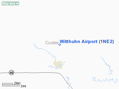
Location & QuickFacts
| FAA Information Effective: | 2008-09-25 |
| Airport Identifier: | 1NE2 |
| Airport Status: | Operational |
| Longitude/Latitude: | 099-55-01.4370W/41-19-30.0200N
-99.917066/41.325006 (Estimated) |
| Elevation: | 2700 ft / 822.96 m (Estimated) |
| Land: | 0 acres |
| From nearest city: | 3 nautical miles N of Callaway, NE |
| Location: | Custer County, NE |
| Magnetic Variation: | 08E (1985) |
Owner & Manager
| Ownership: | Privately owned |
| Owner: | Johnie Witthuhn |
| Address: | Box 308
Callaway, NE 68825 |
| Phone number: | 308-836-2656 |
| Manager: | Johnie Witthuhn |
| Address: | Box 308
Callaway, NE 68825 |
| Phone number: | 308-836-2656 |
Airport Operations and Facilities
| Airport Use: | Private |
| Wind indicator: | Yes |
| Segmented Circle: | No |
| Control Tower: | No |
| Landing fee charge: | No |
| Sectional chart: | Omaha |
| Region: | ACE - Central |
| Boundary ARTCC: | ZDV - Denver |
| Tie-in FSS: | OLU - Columbus |
| FSS on Airport: | No |
| FSS Toll Free: | 1-800-WX-BRIEF |
Runway Information
Runway N/S
| Dimension: | 2500 x 100 ft / 762.0 x 30.5 m |
| Surface: | TURF, |
| |
Runway N |
Runway S |
| Traffic Pattern: | Left | Left |
|
Radio Navigation Aids
| ID |
Type |
Name |
Ch |
Freq |
Var |
Dist |
| BBW | NDB | Broken Bow | | 265.00 | 08E | 14.3 nm |
| DWL | NDB | Willow | | 353.00 | 08E | 28.1 nm |
| RRX | NDB | Darr | | 326.00 | 07E | 29.0 nm |
| BUB | NDB | Burwell | | 377.00 | 07E | 44.0 nm |
| ODX | NDB | Ord | | 356.00 | 07E | 47.2 nm |
| OZB | VOR | Cozad | | 109.00 | 09E | 27.6 nm |
| CUZ | VOR/DME | Custer County | 19X | 108.20 | 08E | 14.0 nm |
| LBF | VORTAC | North Platte | 121X | 117.40 | 11E | 41.1 nm |
Images and information placed above are from
http://www.airport-data.com/airport/1NE2/
We thank them for the data!
| General Info
|
| Country |
United States
|
| State |
NEBRASKA
|
| FAA ID |
1NE2
|
| Latitude |
41-19-30.020N
|
| Longitude |
099-55-01.437W
|
| Elevation |
2700 feet
|
| Near City |
CALLAWAY
|
We don't guarantee the information is fresh and accurate. The data may
be wrong or outdated.
For more up-to-date information please refer to other sources.
|
|


