|
|
 |
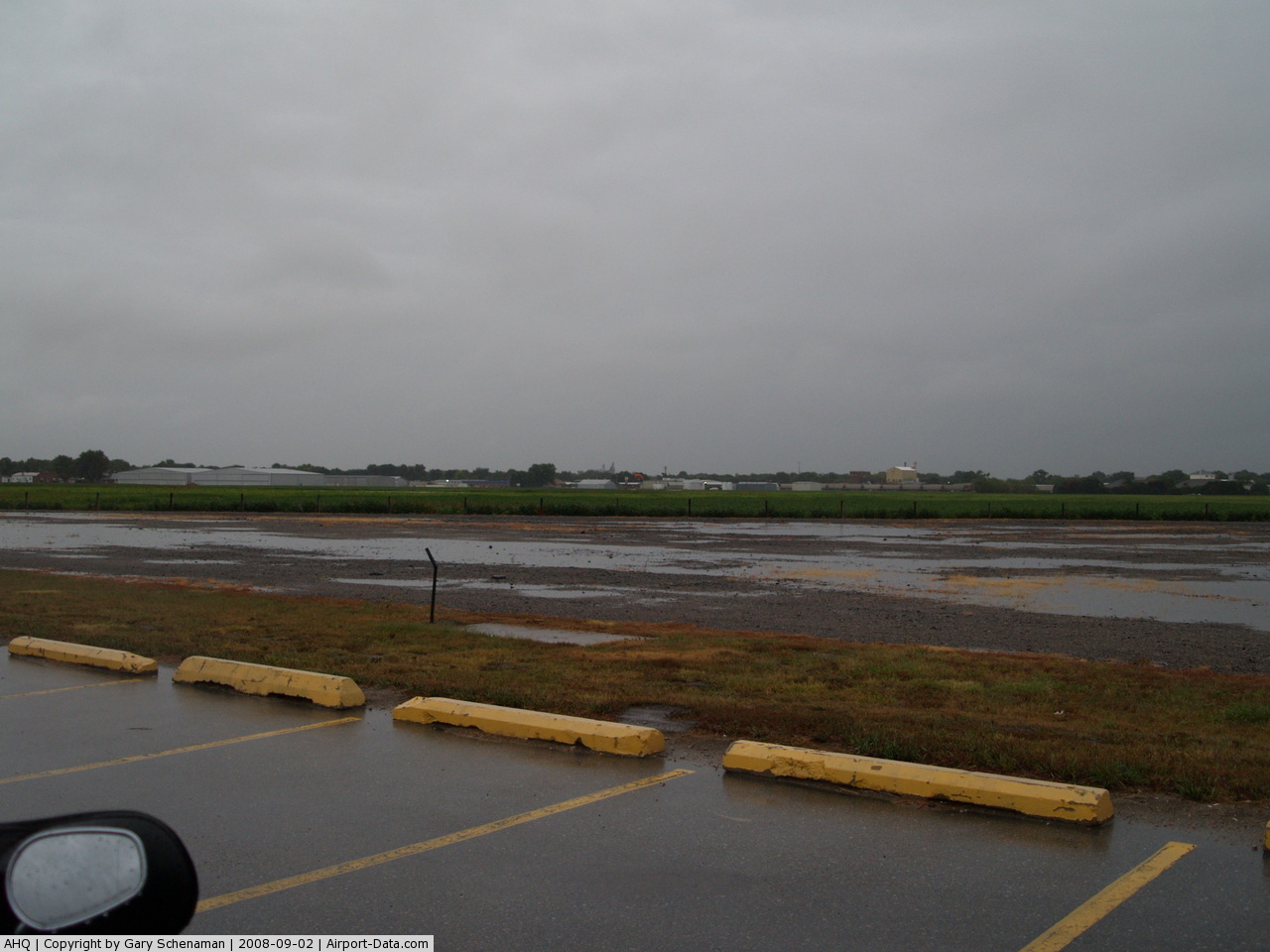
(Click on the photo to enlarge) |
Location & QuickFacts
| FAA Information Effective: | 2008-09-25 |
| Airport Identifier: | AHQ |
| Airport Status: | Operational |
| Longitude/Latitude: | 096-35-40.3980W/41-14-26.1890N
-96.594555/41.240608 (Estimated) |
| Elevation: | 1224 ft / 373.08 m (Surveyed) |
| Land: | 126 acres |
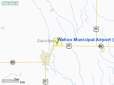
| From nearest city: | 2 nautical miles NE of Wahoo, NE |
| Location: | Saunders County, NE |
| Magnetic Variation: | 06E (1990) |
Owner & Manager
| Ownership: | Publicly owned |
| Owner: | Wahoo Airport Authority |
| Address: | Po Box 122
Wahoo, NE 68066-0122 |
| Phone number: | 402-443-1521 |
| Manager: | Ron Gray |
| Address: | 842 W. 6th
Wahoo, NE 68066-0314 |
| Phone number: | 402-443-1863 |
Airport Operations and Facilities
| Airport Use: | Open to public |
| Wind indicator: | Yes |
| Segmented Circle: | Yes |
| Control Tower: | No |
| Lighting Schedule: | DUSK-DAWN
ACTVT PAPI RYS 02 & 20 - 122.7. |
| Beacon Color: | Clear-Green (lighted land airport) |
| Landing fee charge: | No |
| Sectional chart: | Omaha |
| Region: | ACE - Central |
| Boundary ARTCC: | ZMP - Minneapolis |
| Tie-in FSS: | OLU - Columbus |
| FSS on Airport: | No |
| FSS Toll Free: | 1-800-WX-BRIEF |
| NOTAMs Facility: | OLU (NOTAM-d service avaliable) |
| Federal Agreements: | NGY |
Airport Communications
| CTAF: | 122.700 |
| Unicom: | 122.700 |
Airport Services
| Fuel available: | 100LL
FUEL AVBL 24 HR SELF SERVE. |
| Airframe Repair: | MAJOR |
| Power Plant Repair: | MAJOR |
| Bottled Oxygen: | NONE |
| Bulk Oxygen: | NONE |
Runway Information
Runway 02/20
| Dimension: | 4100 x 75 ft / 1249.7 x 22.9 m |
| Surface: | CONC, Good Condition |
| Weight Limit: | Single wheel: 20000 lbs. |
| Edge Lights: | Medium |
| |
Runway 02 |
Runway 20 |
| Longitude: | 096-35-48.3060W | 096-35-26.4813W |
| Latitude: | 41-14-12.0928N | 41-14-49.1012N |
| Elevation: | 1220.00 ft | 1224.00 ft |
| Alignment: | 24 | 127 |
| Traffic Pattern: | Left | Left |
| Markings: | Non-precision instrument, Good Condition | Non-precision instrument, Good Condition |
| Crossing Height: | 41.00 ft | 52.00 ft |
| VASI: | 2-light PAPI on left side | 2-light PAPI on left side |
| Visual Glide Angle: | 3.00° | 3.00° |
|
Runway 13/31
| Dimension: | 3290 x 150 ft / 1002.8 x 45.7 m |
| Surface: | TURF, Fair Condition |
| Edge Lights: | Low |
| |
Runway 13 |
Runway 31 |
| Longitude: | 096-35-57.6530W | 096-35-30.6300W |
| Latitude: | 41-14-33.3580N | 41-14-08.0350N |
| Elevation: | 1223.00 ft | 1220.00 ft |
| Alignment: | 127 | 127 |
| Traffic Pattern: | Left | Left |
| Obstruction: | 3 ft fence, 145.0 ft from runway, 48:1 slope to clear | 15 ft road, 375.0 ft from runway, 25:1 slope to clear |
|
Radio Navigation Aids
| ID |
Type |
Name |
Ch |
Freq |
Var |
Dist |
| AHQ | NDB | Wahoo | | 400.00 | 07E | 0.2 nm |
| FET | NDB | Fremont | | 311.00 | 06E | 13.1 nm |
| MLE | NDB | Millard | | 371.00 | 06E | 21.9 nm |
| OM | NDB | Gerfi | | 320.00 | 05E | 29.8 nm |
| LN | NDB | Potts | | 385.00 | 06E | 30.6 nm |
| SWT | NDB | Seward | | 269.00 | 06E | 32.7 nm |
| PMV | NDB | Plattsmouth | | 329.00 | 06E | 35.7 nm |
| PLT | NDB | Platte Center | | 407.00 | 08E | 38.7 nm |
| OFF | TACAN | Offutt | 054X | | 05E | 32.3 nm |
| TQE | VOR | Tekamah | | 108.40 | 07E | 36.4 nm |
| SCB | VOR/DME | Scribner | 47X | 111.00 | 06E | 22.0 nm |
| OLU | VOR/DME | Columbus | 055X | 111.80 | 08E | 36.0 nm |
| LNK | VORTAC | Lincoln | 108X | 116.10 | 09E | 20.2 nm |
| OVR | VORTAC | Omaha | 110X | 116.30 | 08E | 39.0 nm |
| OMA | VOT | Omaha | | 109.00 | | 32.1 nm |
Remarks
- RY 13/31 NOT PLOWED WINTER MONTHS.
Images and information placed above are from
http://www.airport-data.com/airport/AHQ/
We thank them for the data!
| General Info
|
| Country |
United States
|
| State |
NEBRASKA
|
| FAA ID |
AHQ
|
| Latitude |
41-14-28.800N
|
| Longitude |
096-35-38.500W
|
| Elevation |
1224 feet
|
| Near City |
WAHOO
|
We don't guarantee the information is fresh and accurate. The data may
be wrong or outdated.
For more up-to-date information please refer to other sources.
|
|